
SAP® Geographical Enablement Framework Simplifies Spatial Processing
30th June 2016
SAP® Geographical Enablement Framework Simplifies Spatial ProcessingNews as it happens! Keep in touch with the latest developments in business and technology in the regions or worldwide.
30th June 2016
SAP® Geographical Enablement Framework Simplifies Spatial Processing

30th June 2016
Fugro on track with Ground Penetrating Radar Surveys for SNCF
30th June 2016
Linde Malaysia adopts Paragon Routing and Scheduling Software30th June 2016
New dataset of accessible greenspace for Scotland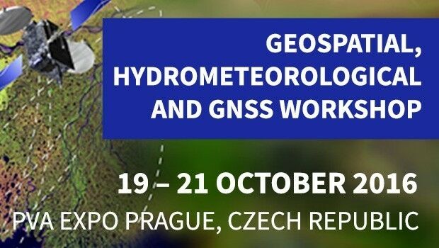
30th June 2016
Geospatial, Hydrometeorological and GNSS Workshop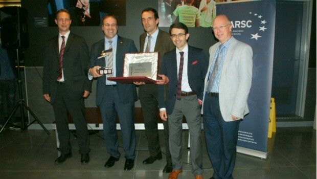


30th June 2016
Fugro deploys more Resource for World’s Largest Seep-Hunting Survey
30th June 2016
EUMETSAT approves new Strategy of Meteosat-8 over the Indian Ocean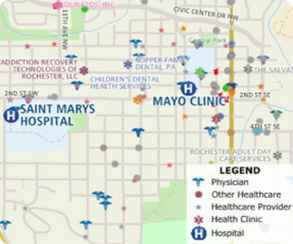
30th June 2016
Free Healthcare Data for Use with Maptitude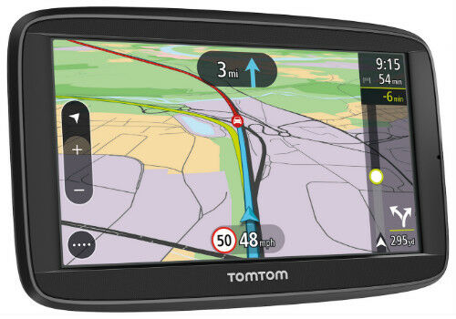
29th June 2016
New TomTom VIA: Satnav Reliability with Real-Time Smarts of a Phone
29th June 2016
Airwave strikes gold with two RoSPA health and safety awards29th June 2016
Esri Launches National Green Infrastructure Initiative for Planning
29th June 2016
what3words partners with global logistics giant Aramex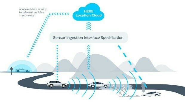
29th June 2016
HERE, automotive companies move forward on car-to-cloud data standard
29th June 2016
Spectra MobileMapper 50 Combines Smartphone with GNSS Capabilities
29th June 2016
Longitude Announces Offering of Rare Soviet Maps of U.S. Cities29th June 2016
Pinellas County Receives Esri Enterprise GIS Award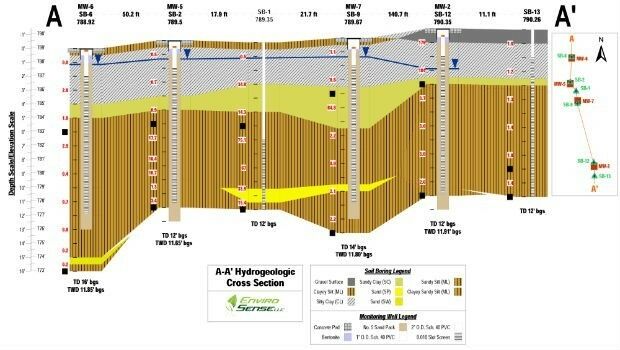

29th June 2016
Septentrio Announces Upgrades for Altus NR2 and PinPoint-GIS29th June 2016
Arun District Council grasps opportunities by migrating to Cadcorp GIS
29th June 2016
INTERGEO – Strong location, even stronger INTERGEO