Elbit to Acquire Universal Avionics Systems Corporation
22nd March 2018
Elbit to Acquire Universal Avionics Systems CorporationNews as it happens! Keep in touch with the latest developments in business and technology in the regions or worldwide.
22nd March 2018
Elbit to Acquire Universal Avionics Systems Corporation
22nd March 2018
Bluesky Ireland Release New Online Geographic Data22nd March 2018
Join the International IoT Week 2018 in Bilbao!21st March 2018
Open Geospatial Standards track at ISPRS Technical Commission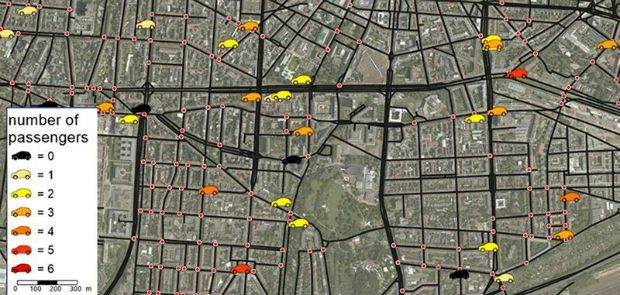
21st March 2018
3Dtracking platform fully compatible with ATrack GPS trackers_GEO.jpg)
21st March 2018
Lincolnshire County Council Implements thinkWhere’s Cloud GIS21st March 2018
Global Mapper and LiDAR Module SDK v19.1 Now Available21st March 2018
Launching INTERGEO 2018 Geoinformation – the DNA of digitalisation21st March 2018
Hexagon Joins British APCO as Platinum Member21st March 2018
Esri Partners Honored at Esri FedGIS Conference
21st March 2018
Col-East Inventories Salt Piles from the Air Each Winter
20th March 2018
Leeds Teaching Hospitals Enhancing Logistics And Transport Management
20th March 2018
How to Get High-Accuracy GNSS Using Your Phone20th March 2018
Mapmaker AND provides MapFusion to Dutch government
20th March 2018
New SR3 underground laser scanner from Maptek20th March 2018
Government gives go ahead for Geospatial Apprenticeships20th March 2018
Electric Vehicles Won’t Run Out of Charge Mid-Delivery with Stream20th March 2018
SimActive Launches Free Data Processing Service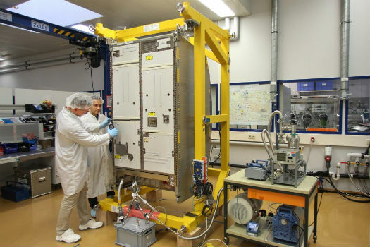
19th March 2018
Airbus delivers new life support system for the ISS
19th March 2018
Gatwick to be first airport in the world to trial autonomous vehicles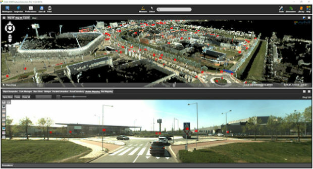
19th March 2018
Orbit GT releases 3D Mapping Feature Extraction Pro v1819th March 2018
Wärtsilä acquires Transas to accelerate its Smart Marine Ecosystem