
TSA Members welcome SmartWater’s response to equipment theft
10th April 2018
TSA Members welcome SmartWater’s response to equipment theftNews as it happens! Keep in touch with the latest developments in business and technology in the regions or worldwide.
10th April 2018
TSA Members welcome SmartWater’s response to equipment theft
.jpg)
10th April 2018
First Purpose-built Rugged Tablet with Scientific-grade GNSS
10th April 2018
Kinesis Clocks up 2 Billion Commercial Vehicle Tracked Miles
9th April 2018
Sharps Bedrooms Optimises Transport Routes and Schedules with Maxoptra
9th April 2018
Digital Construction Week Call-for-Papers Deadline Approaches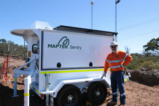
9th April 2018
Maptek showcases Sentry world-class monitoring system
9th April 2018
Orbit GT and Instrumental Y Optica, Ecuador, sign Reseller Agreement9th April 2018
Esri and UNOSAT Host GIS for a Sustainable World Conference9th April 2018
UK BIM Alliance Product Data Working Group Confirmed8th April 2018
International Scientific Expedition to Weddell Sea Announced
7th April 2018
Updated Global Mapper Academic Labs Now Available6th April 2018
GSSI Announces New Sales Restructuring to Better Serve Customers6th April 2018
CGG Launches First Lien Senior Secured Notes Offering6th April 2018
CGG Launches First Lien Senior Secured Notes Offering5th April 2018
Inaugural European Drone Summit in Frankfurt5th April 2018
1Spatial awarded contract by the European Union Satellite Centre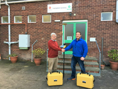
5th April 2018
Topcon Commitment To Closing The Skills Gap With Survey School5th April 2018
GeoSpock Bolsters C-suite Team as Part of Scale-up Plan5th April 2018
USGIF Announces Keynotes for the GEOINT 2018 Symposium.jpg)
4th April 2018
Fugro Returns To Hollandse Kust Wind Farm Zone
4th April 2018
Bentley Systems’ Year in Infrastructure 2018 Conference and Awards Gala