Happy birthday Sentinel-2A: Five Years of Environmental Insights
25th June 2020
Happy birthday Sentinel-2A: Five Years of Environmental InsightsNews as it happens! Keep in touch with the latest developments in business and technology in the regions or worldwide.
25th June 2020
Happy birthday Sentinel-2A: Five Years of Environmental Insights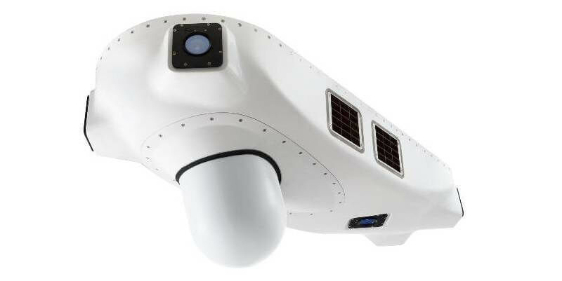
25th June 2020
BIRD Aerosystems has Delivered its AMPS Anti-Missile Protection System to a VIP Customer in Africa
25th June 2020
Submissions for Galileo Masters 2020 Open until 30 June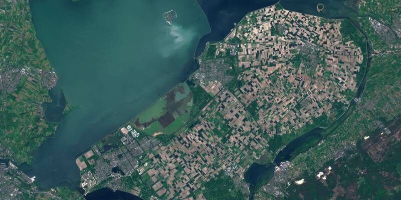
25th June 2020
SkyWatch and AgIntegrated to Work Together to Bring Earth Observation Satellite Data to the Agriculture Industry
24th June 2020
HxGN Content Program updates 3 million square kilometres of aerial data in U.S., Europe in 2020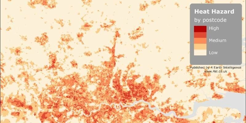
24th June 2020
4 Earth Intelligence Heat Hazard Data Supports Resilience Planning across UK
24th June 2020
Creaform announces the release of the brand-new MetraSCAN BLACK
24th June 2020
Robert Mankowski, SVP of Digital Cities, Bentley Systems, Joins the Executive Board of the World Geospatial Industry Council
23rd June 2020
Geo Connect Asia announces 2021 return to Singapore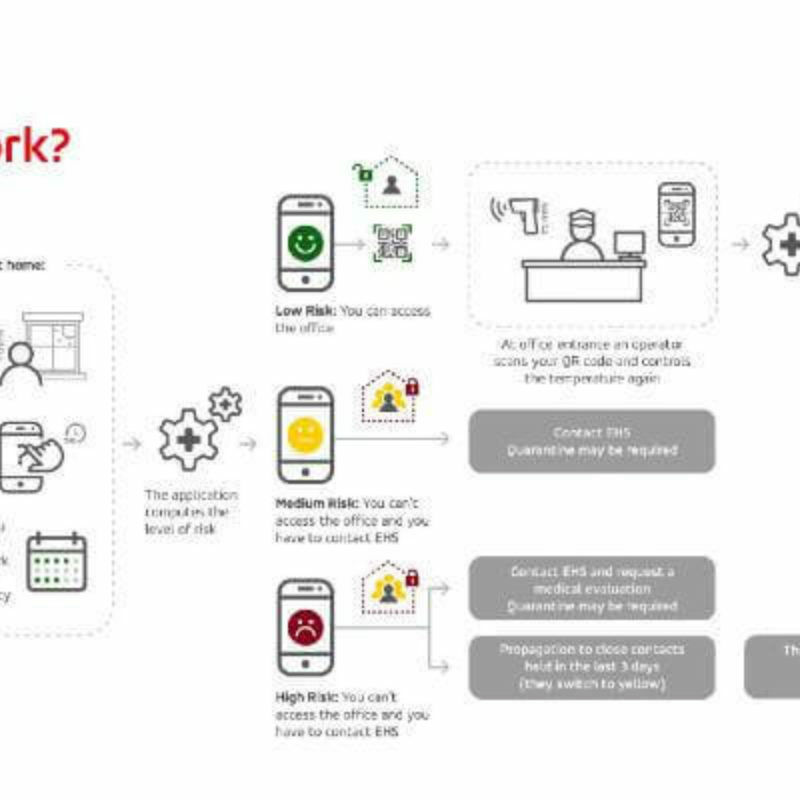
23rd June 2020
GMV creates a mobile App to ensure a safer return to work23rd June 2020
Innovative product brings convenience to GNSS users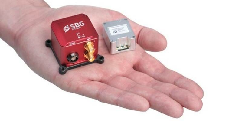
23rd June 2020
Ellipse Series 3rd Generation: SBG Systems renews its popular line of miniature inertial sensors with high-end functionalities and dual frequency RTK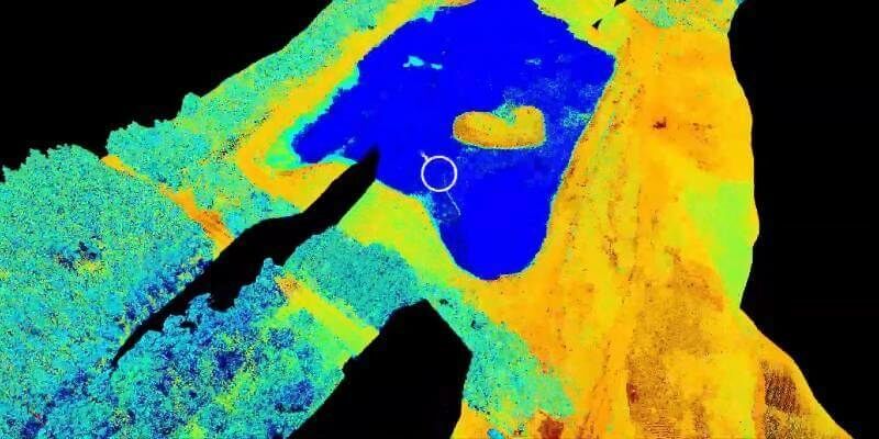
23rd June 2020
New Riegl Bathymetry Scanner Videos (In Spanish And Portuguese)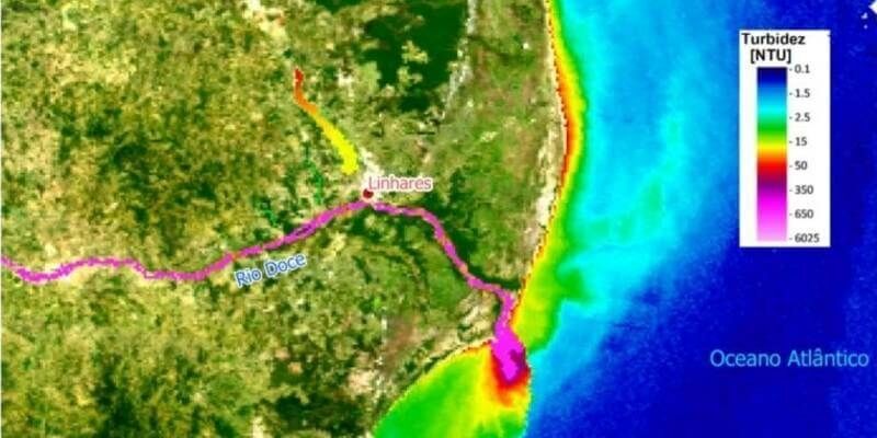
22nd June 2020
Lactec and Eomap sign an unprecedented partnership in Brazil
22nd June 2020
AirMap Geo-awareness Technologies Power skyguide’s U-space Applications
22nd June 2020
Microsoft Bing Maps adds TomTom data to its maps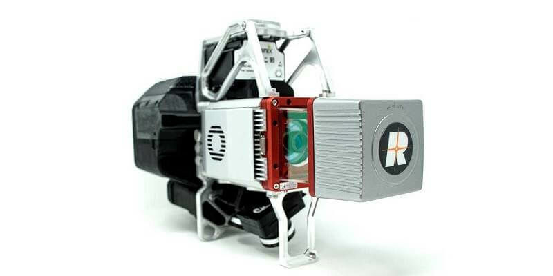
22nd June 2020
GeoCue Group Releases True View® 615/620; RIEGL/Applanix-based UAS LIDAR System
19th June 2020
1Spatial reveals new and exciting webinars and training courses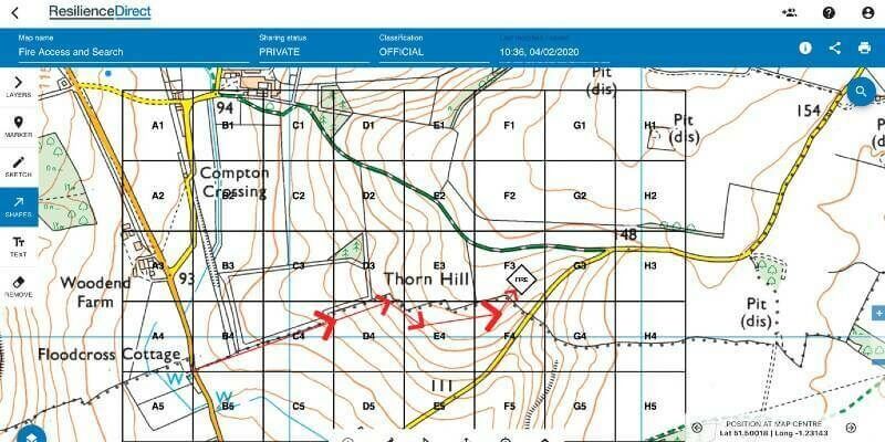
19th June 2020
Cabinet Office and Airbox Systems launch all-new ResilienceDirect Mapping Platform
19th June 2020
Zurich City Police In Switzerland Using Riegl Scanners For Crash Scene Investigation
19th June 2020
Carlson Software Releases Precision 3D Topo 2020 and Precision 3D Hydro 2020
19th June 2020
Terra Drone Corporation solidifies South East Asia presence with establishment of new base in Malaysia
18th June 2020
National Underground Asset Register (NUAR) Project nominated for Digital Collaboration Award
18th June 2020
Esri users gain access to international public transport data from TravelTime