
Innovative project reaches new depths despite global pandemic
18th June 2020
Innovative project reaches new depths despite global pandemicNews as it happens! Keep in touch with the latest developments in business and technology in the regions or worldwide.
18th June 2020
Innovative project reaches new depths despite global pandemic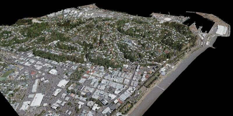
18th June 2020
iXblue, Woolpert partner to deliver LiDAR mapping services to New Zealand Councils
18th June 2020
GeoIgnite Online 2020: Canada’s National Virtual Geospatial Event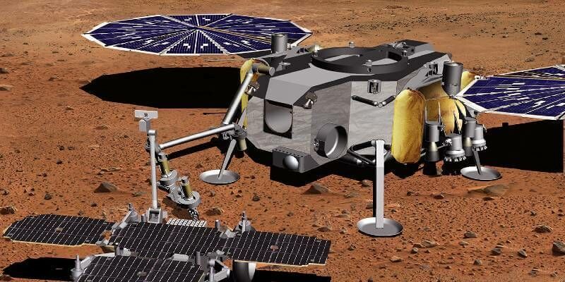
17th June 2020
Airbus wins next study contract for Martian Sample Fetch Rover
17th June 2020
GeoIgnite: Leadership in Times of Disruption
17th June 2020
Cityscape and Bluesky 3D Models Bring Virtual Reality to Property Developers
16th June 2020
ABPmer’s fisheries specialists support climate change impact review for BlueFish Project16th June 2020
Satellites to help predict and detect leaks in clean water pipelines
16th June 2020
Virtual Surveyor Drone Surveying Software Simplifies Workflow for Earthworks Monitoring at Construction Sites
15th June 2020
1Spatial releases FY20 Results; Revenue up 33% to £23.4M; EBITDA up 167% to £3.2M15th June 2020
The COSMO-SkyMed Second Generation satellite simultaneously acquires images over areas hundreds of kilometres apart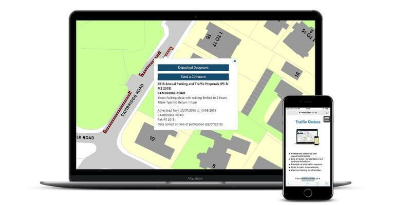
15th June 2020
ParkMap 7 Makes Online Public Consultation Faster and Easier
12th June 2020
1Spatial plc secures US$2.6M Expansion Contract with the US State of Michigan
12th June 2020
Bentley Systems Turns AASHTO Student TRAC Bridge Contest into a Virtual Event
12th June 2020
Microsoft Bing Maps webinar: Solving the complexities of multi-delivery optimization
12th June 2020
Garmin completes certification of the GFC 500 autopilot for nearly all single-engine Piper aircraft models
11th June 2020
Blog: Part 2 – Transforming the way we plan, design, build and operate our national infrastructure using geospatial data infrastructures
11th June 2020
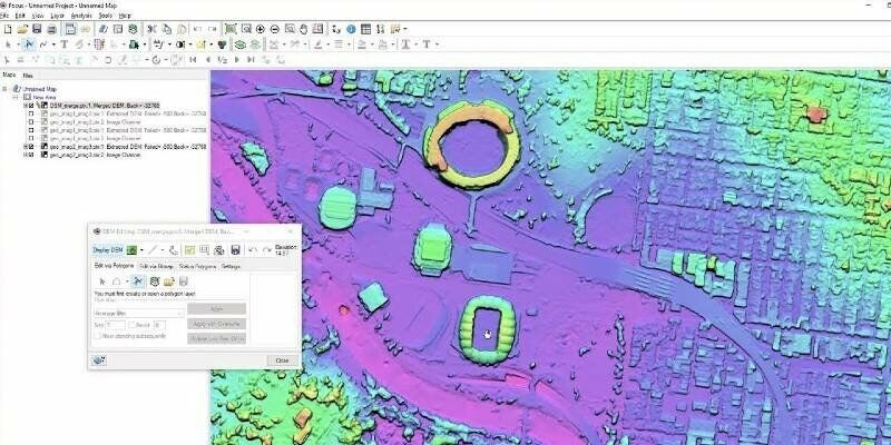
PCI Geomatics Releases New Features for Geomatica Banff
11th June 2020
Co-Located Events AEC Next, SPAR 3D, and Geo Week Pivot to Virtual Content Series for 202010th June 2020
OGI selects iXblue FOG INS for new mobile mapping lidar solution
10th June 2020
Bentley Systems’ Year in Infrastructure 2020 Conference is Going Digital