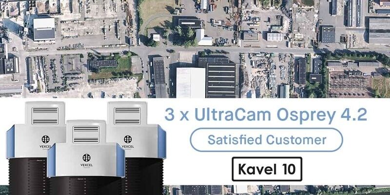
Kavel 10 invests in three UltraCam Osprey 4.2 systems
23rd January 2026
Kavel 10 invests in three UltraCam Osprey 4.2 systems+43 (0) 316 849 066-0
Anzengrubergasse 8, 8010 Graz, Austria
1992
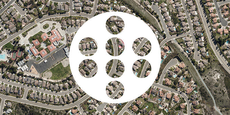
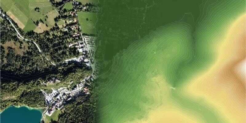
Aerial Imaging: High-Resolution Geospatial Data for Mapping, Analysis, and Decision-Making
GIS
Image Processing / Analysis
Digital City Modelling
Digital Mapping
Defence Military
Agriculture
Municipal Government
Smart Cities
Digital City Modelling
23rd January 2026
Kavel 10 invests in three UltraCam Osprey 4.2 systems
10th November 2025
Slagboom & Peeters Aerial Surveys Becomes First Worldwide Customer of Vexcel’s New UltraCam Dragon 4.2
8th October 2025
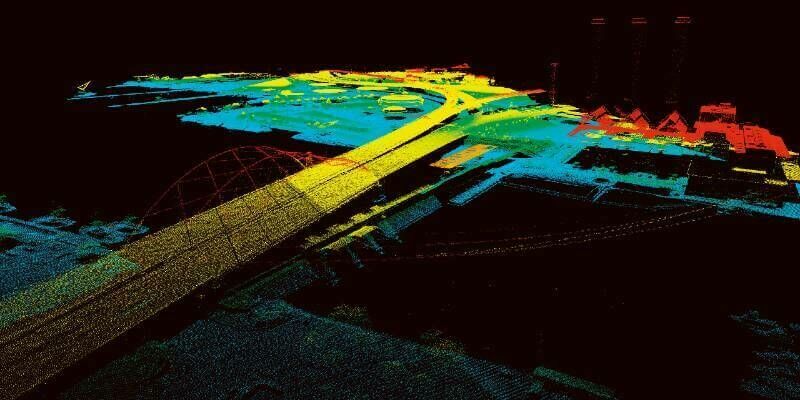
Vexcel Imaging Unveils the UltraCam Dragon 4.2: A New Benchmark in Hybrid Oblique Imaging and LiDAR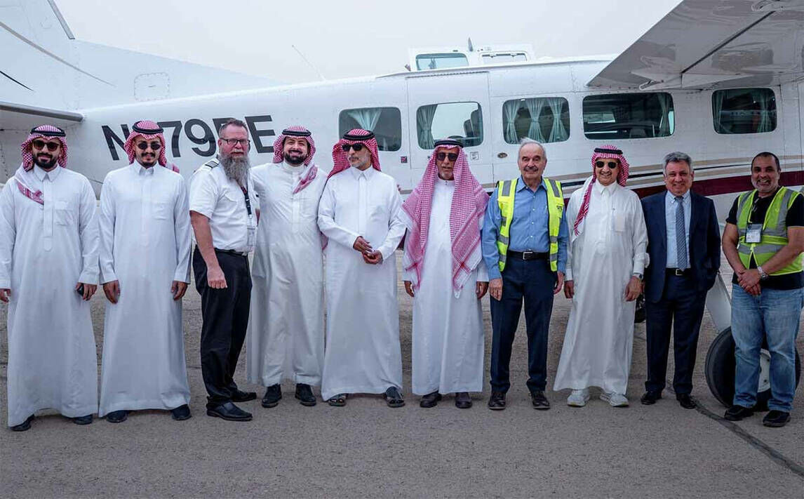
13th August 2025
GeoTech Overseas Deploys UltraCam Osprey in Saudi Arabia
20th May 2025
GeoTerra Selects Vexcel’s UltraCam Merlin 4.1 to Elevate Aerial Mapping Operations in the Pacific Northwest
14th May 2025
CGIS Qatar Case Study: Leveraging Vexcel Imaging for a True 3D City Model of Doha
1st April 2025
Vexcel Imaging Announces Newest UltraCam: Osprey 4.2
13th June 2024
Vexcel Open Day India: Mapping Continents & Cities in 3D with Photogrammetry and LiDAR
11th January 2024
Vexcel Announces 3D Models for Metro Areas Around the World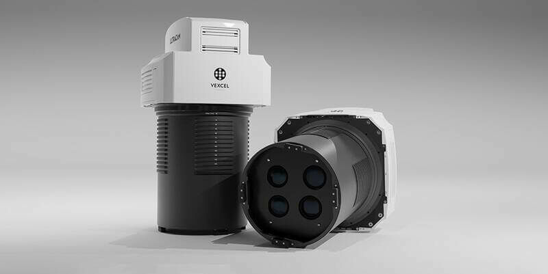
5th December 2023
Vexcel Imaging introduces new UltraCam Merlin 4.1 aerial camera system for elevated profitability and performance
5th December 2023
Vexcel Imaging announces the new UltraCam Dragon 4.1, a game-changing hybrid oblique imaging and LiDAR system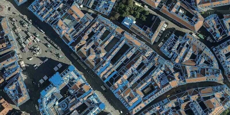
16th March 2023
Eurosense relies on Vexcel Imaging and RhinoTerrain to generate watertight and textured LOD 2 city models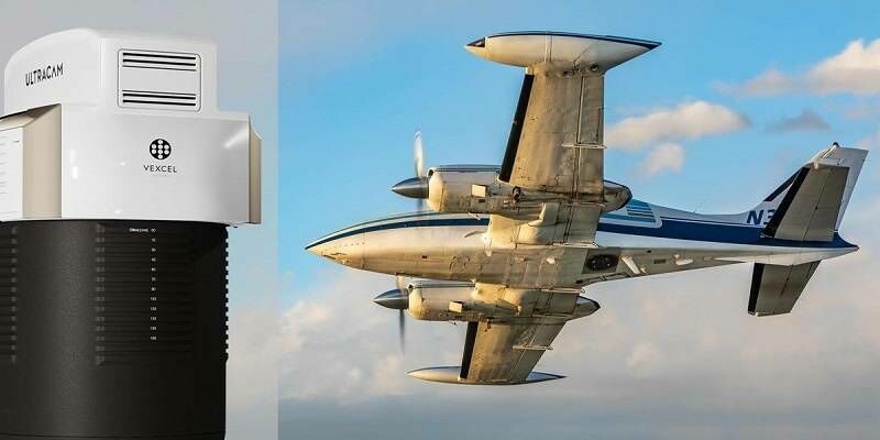
15th February 2023
Aero-Graphics Purchases Two 4th Generation UltraCam Eagle 4.1 Aerial Cameras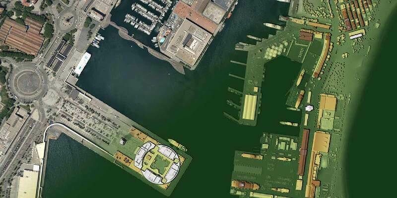
18th January 2023
Navigate new waters with UltraMap version 6.0 for professional aerial data production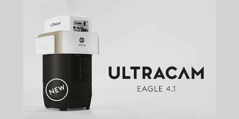
19th October 2022
Vexcel introduces new UltraCam Eagle 4.1 photogrammetric aerial camera
18th October 2022
Vexcel Imaging unveils its new UltraNav version 7 including a new partnership with TopoFlight
30th September 2022
New Vexcel Partner Beijing GuoCe opens Flagship Store in China
25th May 2022
Unique Integration of UltraCam Eagle and LiDAR Scanner by 95West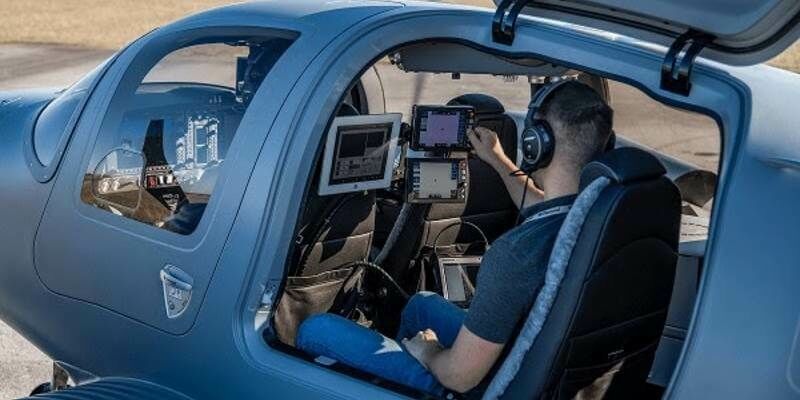
12th May 2022
Interface between Vexcel's Adaptive Motion Compensation (AMC) and IGI’s AEROcontrol GNSS/IMU systems introduced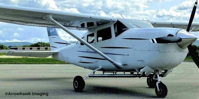
25th February 2022
UltraCam Eagle Delivers Efficiency and Quality for Arrowhawk Imaging
27th August 2020
Elevate your performance with UltraMap 5.0
22nd May 2020
European Aerial Mappers Challenge Data Streaming Competitors
21st May 2020
Broaden your perspective with the new UltraCam Osprey 4.1
31st March 2020
State Governments Using Vexcel Imagery to Aid in COVID-19 Response
23rd January 2020
Vexcel Imaging to Acquire Geomni Imagery Division of Verisk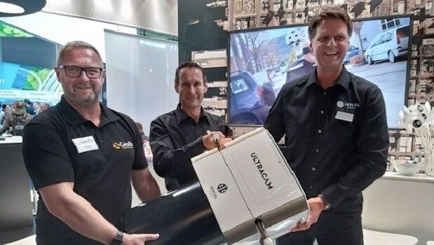
20th September 2019
GeoFly purchases 2 UltraCam Eagle Mark 3 systems at Intergeo
13th September 2019
Vexcel Imaging Launches its Data Program in Europe
19th March 2019
Register for the free UltraCam Panther webinar on March 26

1st October 2018
UltraCam Panther & UltraMap Terrestrial v1.0 released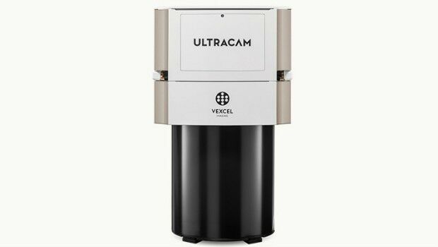
4th October 2017
Vexcel Imaging introduces the new UltraCam Eagle Mark 3