Satellite Positioning, Navigation & Timing (PNT)
Don't miss a beat, sign up to our newsletter
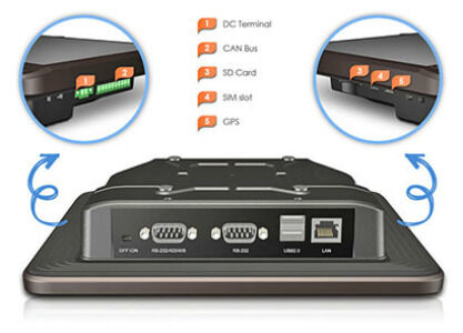
ARBOR 8" Android Based HMI Panel PC perfect for telematics applications
8th July 2016
ARBOR 8" Android Based HMI Panel PC perfect for telematics applications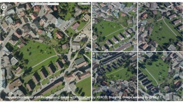
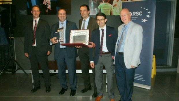
Orbit GT and Vexcel Imaging, Austria sign Reseller Agreement
8th July 2016
Orbit GT and Vexcel Imaging, Austria sign Reseller Agreement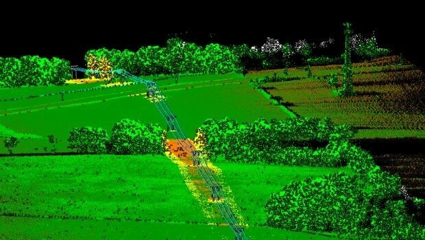
Patrol+® a flying success with survey completed for National Grid
8th July 2016
Patrol+® a flying success with survey completed for National Grid
The Truth About Drones in Construction and Infrastructure Inspection
8th July 2016
The Truth About Drones in Construction and Infrastructure Inspection
Topcon poll reveals cost of stolen equipment
8th July 2016
Topcon poll reveals cost of stolen equipment
Vexcel Imaging and Orbit GT sign Reseller Agreement
8th July 2016
Vexcel Imaging and Orbit GT sign Reseller Agreement
Esri Education Manager Presented with Highest Honor
7th July 2016
Esri Education Manager Presented with Highest Honor


First glimpse of potential Nullarbor treasures
7th July 2016
First glimpse of potential Nullarbor treasures
BARTHAUER at German Street and Traffic Convention in Bremen
7th July 2016
BARTHAUER at German Street and Traffic Convention in Bremen
Hi-Target Maintenance Center in Jicin, Czech
7th July 2016
Hi-Target Maintenance Center in Jicin, Czech
Topcon Announces All New GT Robotic Series Total Stations
6th July 2016
Topcon Announces All New GT Robotic Series Total Stations

CSA Conducts Seagrass Enhancement Project in North Carolina
6th July 2016
CSA Conducts Seagrass Enhancement Project in North Carolina

Cover More Ground in Less Time with Next-Generation Mapping Tools
5th July 2016
Cover More Ground in Less Time with Next-Generation Mapping Tools
Leica Geosystems announces world’s first fused airborne sensor
5th July 2016
Leica Geosystems announces world’s first fused airborne sensor

New partnership: Masternaut & Same Day Courier Network
5th July 2016
New partnership: Masternaut & Same Day Courier Network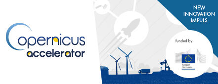
European Commission Launches Copernicus Accelerator
5th July 2016
European Commission Launches Copernicus Accelerator
Moscow selects TomTom for a Smarter City future
5th July 2016
Moscow selects TomTom for a Smarter City future
Join us for the Hexagon Media Roundtable at ISPRS
5th July 2016
Join us for the Hexagon Media Roundtable at ISPRS
GreenRoad Announce New Partner Programme with Telecoms Suppliers in UK
5th July 2016
GreenRoad Announce New Partner Programme with Telecoms Suppliers in UK
WYG appointed on United Utilities AMP6 Geospatial Services Framework
4th July 2016
WYG appointed on United Utilities AMP6 Geospatial Services Framework
Fugro ground investigation project wins at industry awards
4th July 2016
Fugro ground investigation project wins at industry awards
Truckers get lifetime protection at no additional cost with TomTom
4th July 2016
Truckers get lifetime protection at no additional cost with TomTom
New Initiative for Smart Mobility in the Karlsruhe Region
4th July 2016
New Initiative for Smart Mobility in the Karlsruhe Region
Bentley and Shell Announce Global Framework Agreement
1st July 2016
Bentley and Shell Announce Global Framework Agreement
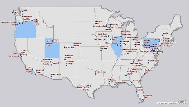
Esri Fosters Industry Innovation with Unique Startup Program
1st July 2016
Esri Fosters Industry Innovation with Unique Startup Program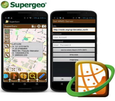
SuperSurv Helps French Environment Department in Alsace
1st July 2016
SuperSurv Helps French Environment Department in Alsace
SuperGIS Desktop helps Public Works Department in Serang, Indonesia
1st July 2016
SuperGIS Desktop helps Public Works Department in Serang, Indonesia
Esri Pledging $500,000 to White House Data Driven Justice Initiative
1st July 2016
Esri Pledging $500,000 to White House Data Driven Justice Initiative
Faster Access to More Video Formats in New Release of ArcGIS
1st July 2016
Faster Access to More Video Formats in New Release of ArcGIS
Innovators, Scholars, and Storytellers Celebrated at the Esri Awards
1st July 2016
Innovators, Scholars, and Storytellers Celebrated at the Esri Awards
Trimble R2 GNSS Receiver Now Available for Data Collection
30th June 2016
Trimble R2 GNSS Receiver Now Available for Data Collection
SAP® Geographical Enablement Framework Simplifies Spatial Processing
30th June 2016
SAP® Geographical Enablement Framework Simplifies Spatial Processing

Fugro on track with Ground Penetrating Radar Surveys for SNCF
30th June 2016
Fugro on track with Ground Penetrating Radar Surveys for SNCF
Linde Malaysia adopts Paragon Routing and Scheduling Software
30th June 2016
Linde Malaysia adopts Paragon Routing and Scheduling Software
New dataset of accessible greenspace for Scotland
30th June 2016
New dataset of accessible greenspace for Scotland
Geospatial, Hydrometeorological and GNSS Workshop
30th June 2016
Geospatial, Hydrometeorological and GNSS Workshop