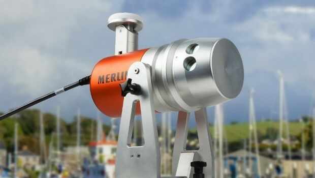
Renishaw welcomes Measutronics Corporation to its distributor network
15th April 2016
Renishaw welcomes Measutronics Corporation to its distributor network
15th April 2016
Renishaw welcomes Measutronics Corporation to its distributor network15th April 2016
DigitalGlobe Delivers First Phase of Mapping Initiative for Australia14th April 2016
Eight new custom fleet management reports now available14th April 2016
Maptitude Provides Awards & Prizes for AAG Student Paper Competition14th April 2016
Launch of second satellite in 'radar vision' mission
14th April 2016
Ecometrica becomes Partner for CDP’s water and forest programmes
14th April 2016
GoSparc to Sum Up Key Takeaways from the Intertraffic Amsterdam 2016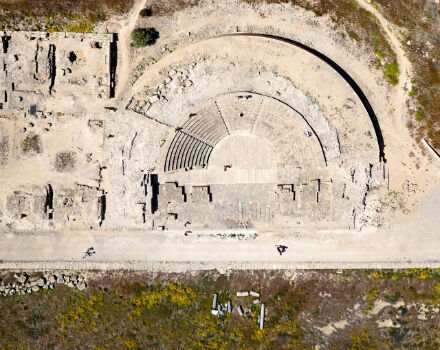
14th April 2016
World Heritage site surveyed by QuestUAV team14th April 2016
exactEarth Announce New Strategic Alliance with Larus Technologies
14th April 2016
Sentinel-1B will complete Europe´s “Radar Vision
14th April 2016
International aviation experts to propose modern safety strategies
13th April 2016
Hexagon Safety & Infrastructure Partners with TomTom13th April 2016
Vexcel Imaging introduces the new UltraCam Condor13th April 2016
BashNIPIneft LLC selects AVEVA software for major brownfield project13th April 2016
Leica Geosystems launches 2016 Plan Contest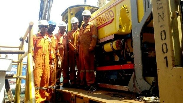
13th April 2016
Fugro to Provide ROV Services on board ONGC Drillship off East India13th April 2016
BARTHAUER confirms its participation in IFAT 2016 in Munich
13th April 2016
GfK releases 2016 purchasing power for Austria and Switzerland13th April 2016
Topcon announces new machine control dealer in Italy13th April 2016
CNES selects Airbus D&S to build instrument for MicroCarb13th April 2016
Hemisphere GNSS Announces Partnership Expansion with CPAC Systems AB13th April 2016
Leica Geosystems and Spheron-VR collaborate12th April 2016
OGC seeks public comment on CDB Candidate Standard
12th April 2016
Forging Marine Improvements through Strategic Partnership12th April 2016
Golden Software Releases Raster Tools, an Add-in for Esri® ArcMap
12th April 2016
ISPRS awards Prof. Wolfgang Foerstner with Brock Gold Medal12th April 2016
[EARSC] Survey into Public Service Bodies using EO data and services12th April 2016
Topcon announces monitoring partnership with VMT GmbH
12th April 2016
Leica Geosystems partners with DotProduct LLC, SpheronVR AG12th April 2016
Inmarsat selects Kontron as key supplier for European Aviation Network12th April 2016
MICROMINE 2016 to be launched in May with new and exciting features
12th April 2016
Maptek releases Vulcan 10 incorporating new Workbench platform
11th April 2016
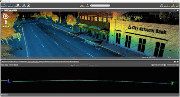
Maryland SHA using broadcast quality camera in Furgo vehicle
11th April 2016
Orbit GT launches new UAS Mapping software at SPAR, Houston.
11th April 2016
Cambridge collaboration to launch online platform mapping agribusiness11th April 2016
Navmii announces Share my Trip feature with 3.5 app update11th April 2016
Topcon introduces next generation machine control
11th April 2016
Orbit GT shows automated Feature Extraction tools at SPAR, Houston.
8th April 2016
The Most Rugged Windows Tablet in the World is Now Shipping8th April 2016
Transport and logistics resources for schools from CILT and the GA7th April 2016
Public comment on update of OGC Abstract Specification Topic 11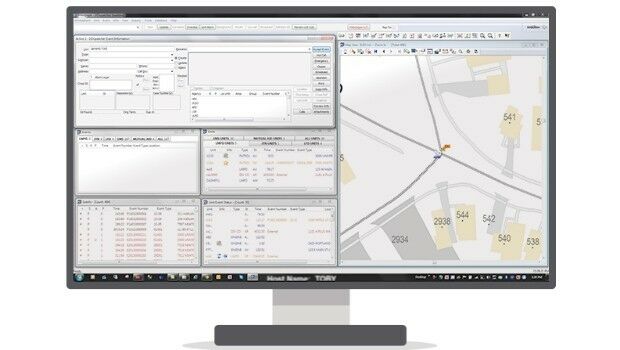
7th April 2016
Kansas City Police Selects Hexagon Safety & Infrastructure Software7th April 2016
PTV Group offers a virtual world to test future automotive development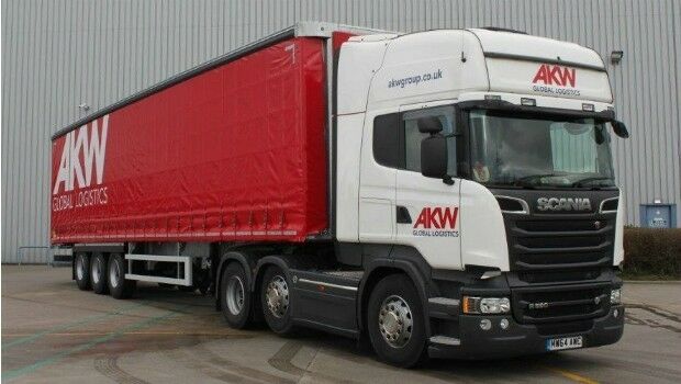
7th April 2016
AKW Global Logistics teams up with Intelligent Telematics