
GAF implement Geological Data Management Information System in Malawi
25th April 2016
GAF implement Geological Data Management Information System in Malawi
25th April 2016
GAF implement Geological Data Management Information System in Malawi
25th April 2016
Arbor IOT-500 - new 5" Android based HMI Panel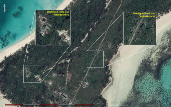
25th April 2016
Change Detection analysis of Farquhar Island after major hurricane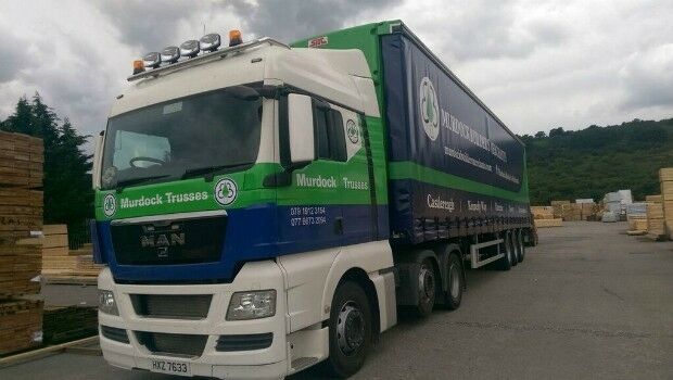
25th April 2016
Murdock Builders cut fuel costs by 10% with Masternaut telematics
25th April 2016
RescueSim Advanced Fire Fighting Simulators for Greece
23rd April 2016
First Bentley ContextCapture Workshop in Madrid, Spain
22nd April 2016
Mesa 2™ Rugged Tablet Helps Law Enforcement Professionals22nd April 2016
MICROMINE’s Academic Licencing Scheme for the University of Nevada21st April 2016
Trimble Partners with the University of Cambridge21st April 2016
OGC requests comment on charter for Coordinate Reference System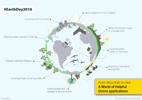
21st April 2016
Earth Day 2016: From mountain to sea, a world of helpful drone apps21st April 2016
Intergraph® Damage Assessment for Electric Utility Companies21st April 2016
Itron’s OpenWay Riva™ IoT Solution Receives Grid Edge 2016 Award
21st April 2016
AVEVA Engage transforms collaborative decision-making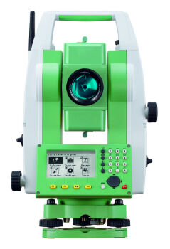
21st April 2016
Setting the Standard for Survey Equipment Hire
21st April 2016
Toughest mountain bike race selects SPOT Gen3
21st April 2016
Leica Geosystems wins 2 Red Dot Design Awards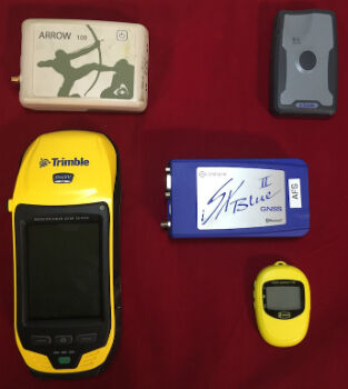
20th April 2016
Anatum Field Evaluation of Bluetooth GNSS Receivers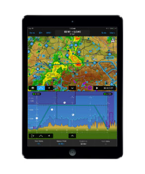
20th April 2016
Garmin® introduces major enhancements to Garmin Pilot™20th April 2016
Global maps from Europa helps to define no-fly zones for drones20th April 2016
MicroPilot Selects Spirent GNSS Simulators
20th April 2016
Mesa 2 Rugged Windows Tablet is Now Shipping20th April 2016
Trimble Announces Call for Speakers for its 2016 Dimensions User Conference20th April 2016
Geotab's new personalized customer support for telematics20th April 2016
Unlocking Unlimited Potential for Utilities
19th April 2016
OneWeb Satellites completes its industrial organization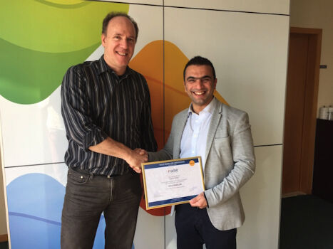
19th April 2016
Orbit GT and Topcon Positioning MEA, UAE, sign reseller agreement19th April 2016
Yotta Helps Wigan Council Optimise Highways Asset Management19th April 2016
European retail in 2016: Slow but real-value growth
19th April 2016
World Road Association appoints Christoph Walther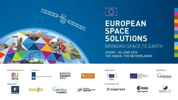
19th April 2016
Space solutions for climate change and the environment: 1-day workshop
19th April 2016
Over 50% off Trimble Business Center. It’s a Big Deal.18th April 2016
Final Stage of SPOT Gen3® Messenger Rollout
18th April 2016
With iXBlue, the future of positioning is now18th April 2016
Emapsite launches postcode-level UK windstorm peril model18th April 2016
Yotta Heralds European Expansion with Raft of New Appointments
18th April 2016
ABPmer delighted with Fishbourne ferry terminal planning permission
18th April 2016
Key DP Documents Revised and Published by IMCA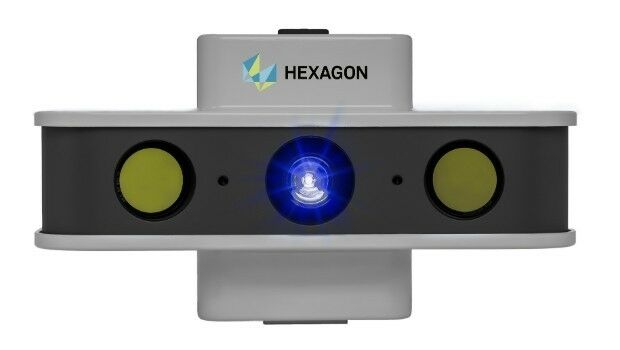
18th April 2016
NEW! PrimeScan: Entry-level solution for precise 3D digitization
18th April 2016
MapAction mobilises humanitarian mapping team for Ecuador earthquake


15th April 2016
Topcon demonstrates Smart Working Tech at Geo Business
15th April 2016
eeGeo Joins the Cisco Solution Partner Program
15th April 2016
TomTom and PSA Group Drive EU Ministers in Autonomous Vehicles