
Skyline Software Systems Releases Photomesh™ 7.4
22nd May 2018
Skyline Software Systems Releases Photomesh™ 7.422nd May 2018
Skyline Software Systems Releases Photomesh™ 7.4

22nd May 2018
Expanded Enterprise Focus at Largest Commercial Drone Show in USA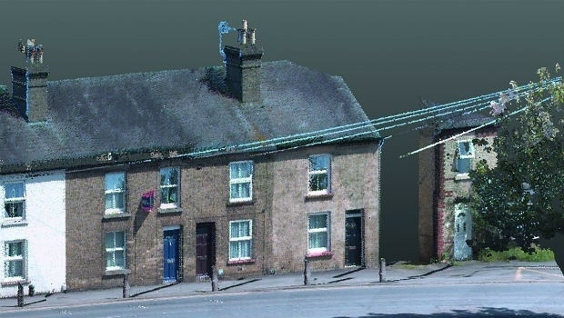
21st May 2018
KOREC invests in ‘New Generation’ Trimble MX9 Mobile Mapping System
21st May 2018
CGG GeoConsulting Launches Robertson New Ventures Suite
19th May 2018
Focus 35 Total Station with Auto Scan Helping Build China’s Expressway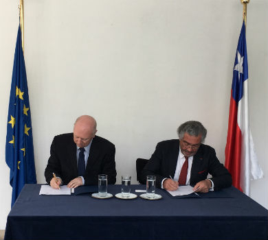
18th May 2018
EARSC and Eurochile join forces to promote Earth observation
18th May 2018
Gatwick’s new passenger app wins two awards at separate ceremonies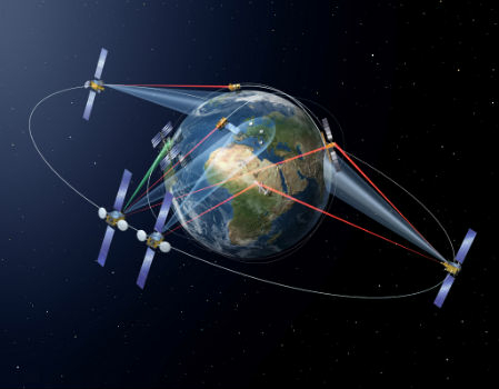
18th May 2018
SpaceDataHighway: 10,000 successful laser connections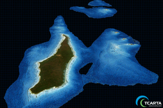
17th May 2018
TCarta Delivers Satellite Derived Bathymetry Data
17th May 2018
GeoSLAM To Showcase The Future Of Construction At GEO Business 201817th May 2018
Nokia enables better decision-making by emergency services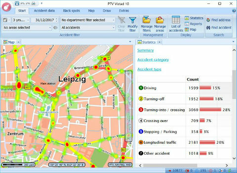

16th May 2018
Ecometrica Wins US Environmental Leader Product of the Year Award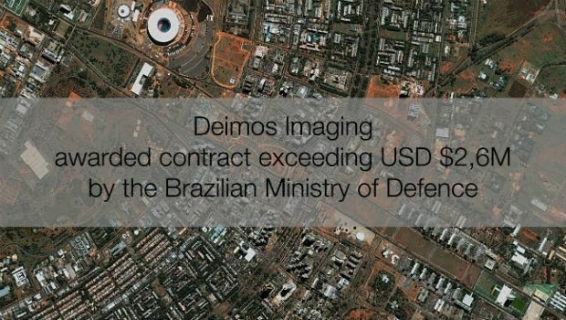
16th May 2018
Deimos Imaging awarded contract exceeding USD $2,6M by Brazilian MoD
16th May 2018
Mapping, Charts, Aerial Imagery Available from East View Geospatial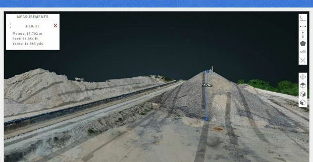
16th May 2018
Carlson PhotoCapture to be presented at GEO Business 201816th May 2018
Swift Navigation Announces SBAS Support for Piksi Multi
16th May 2018
FREQUENTIS’ voice communication solution at airport control centre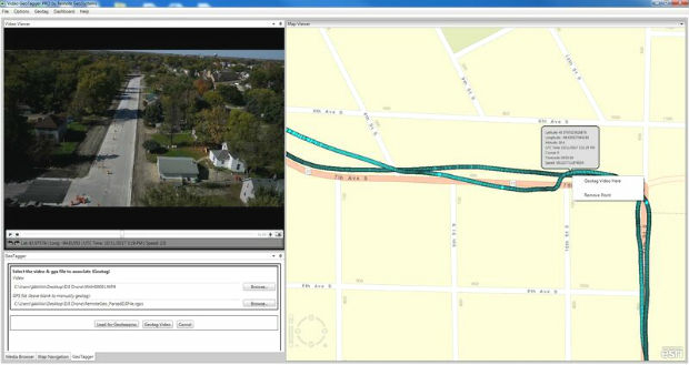
16th May 2018
Remote GeoSystems Releases All-New Video GeoTagger
15th May 2018
SimActive Software Saving Hours for DJI Drone Surveys
14th May 2018
senseFly user conference aims to optimize drone operations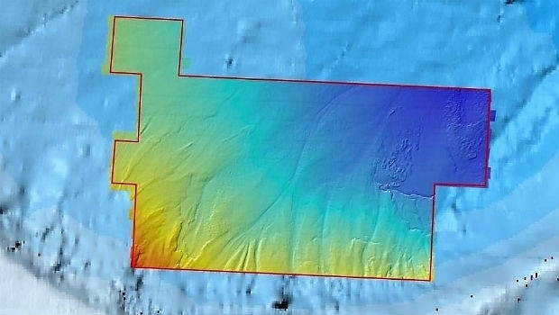
11th May 2018
Fugro Reports Successful Licensing Of Seep And Geochemical Data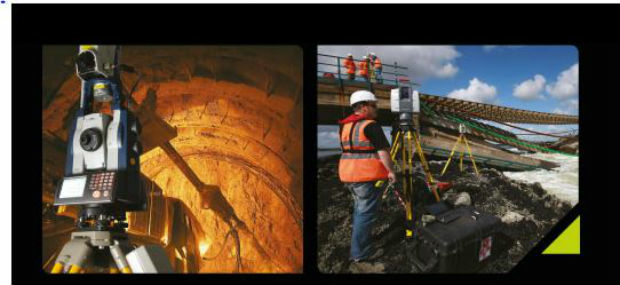
10th May 2018
Laser Scanning: the 21st Century Tool of Choice at GEO Business 2018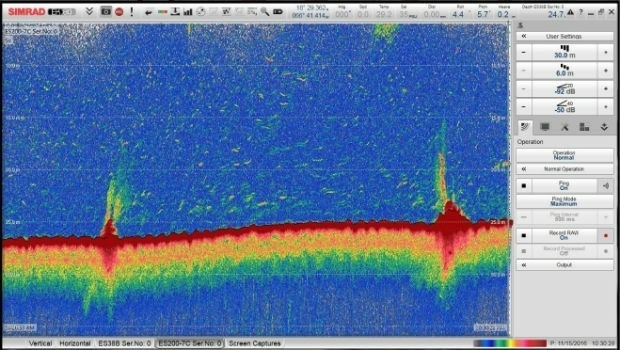
10th May 2018
CSA Implements Innovative Technology for Tracing Sewage Outfalls
9th May 2018
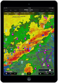
Garmin Pilot iOS incorporates new weather features
9th May 2018
Earth Observation Exploitation Platform Domain Working Group
9th May 2018
Fleetcheck Teams Up With Ctrack To Support Connected Fleet Management
9th May 2018
Geospatial Insight build visual intelligence solutions
9th May 2018
Sentinel-3B starts delivering on its promise.jpg)
9th May 2018
Geo-data experts pinpoint Birmingham for GeoPlace’s annual conference
9th May 2018
Data Gateway brings powerful data validation and processing via a self-serve, training-free experien
8th May 2018
Maptitude Team Provides Sponsorship for Applied Geography Conferences
8th May 2018
Unifly supports UNICEF's humanitarian drone corridor
8th May 2018
MilSatCom USA Conference Agenda has been Updated7th May 2018
GPI Geospatial Purchases RIEGL VQ-1560i Airborne LiDAR System!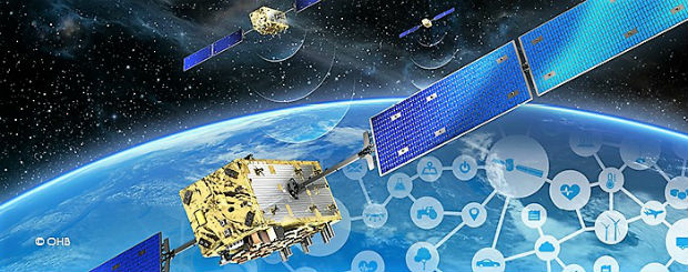

4th May 2018
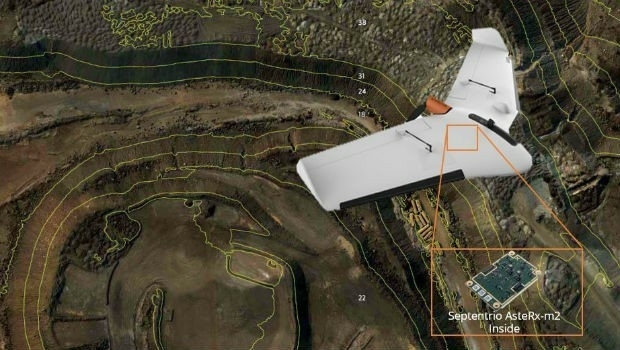
Septentrio supplies AsteRx-m2 for Delair UX11 large-area mapping UAV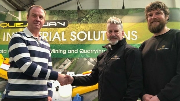
4th May 2018
QuestUAV Closes deal to Map World’s Largest Construction Project
4th May 2018
ISPS Code Fails To Contemplate Aerial Threats From Drones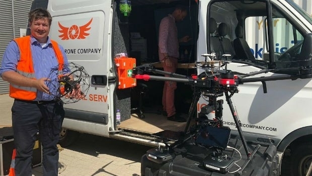
3rd May 2018
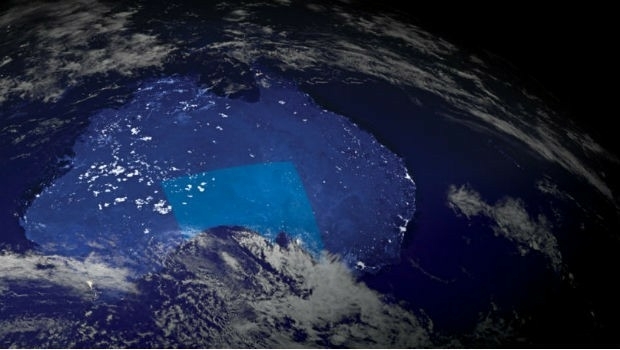
Australian states line up for slice of national space agency3rd May 2018
ELWAG Project announced to advance autonomous vehicle positioning3rd May 2018
Aptiv Launches Fleet of Autonomous Vehicles on the Lyft Network
2nd May 2018
PTV Transport Consult GmbH counts among Germany's top consultants