
1Spatial awarded contract by the European Union Satellite Centre
5th April 2018
1Spatial awarded contract by the European Union Satellite Centre5th April 2018
1Spatial awarded contract by the European Union Satellite Centre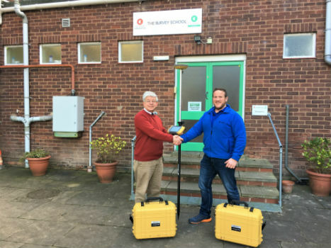
5th April 2018
Topcon Commitment To Closing The Skills Gap With Survey School5th April 2018
GeoSpock Bolsters C-suite Team as Part of Scale-up Plan
3rd April 2018
senseFly and Trimble optimize workflow for geospatial drone operators
3rd April 2018
Topcon and Bentley to hold collaborative Constructioneering Academy3rd April 2018
East View Geospatial Launches On-Demand Milspec Geospatial Data
30th March 2018
Hemisphere GNSS Appoints Jeffrey Farrar as Senior Sales Manager
30th March 2018
Simple and Essential Telematics Device for Fleet Management
30th March 2018
Topcon introduces new laser series designed for distance and accuracy

29th March 2018
ERM Advanced Telematics helps automobile dealers retrieve vehicles
29th March 2018
Pix4D announces Pix4Dfields, dedicated product for agriculture
29th March 2018
CSA and HWCG Deliver Rapid Monitoring Solution for O&G Operators28th March 2018
Tracking technology leads to Police arrests and recovery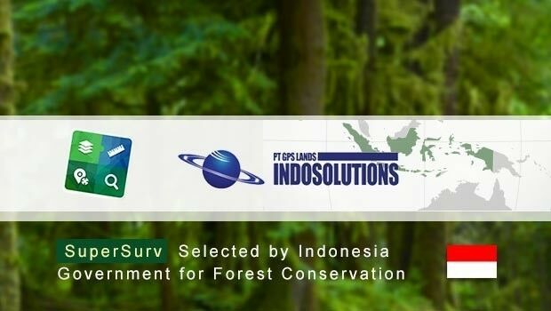
28th March 2018
SuperSurv Selected by Indonesian Agency for Forest Conservation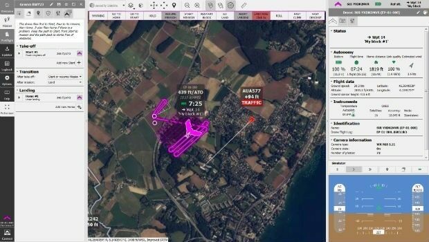
27th March 2018
senseFly takes drone flight planning & management to next level
27th March 2018
Insurance Savings Potential Of Connected Vehicle Cameras Revealed
26th March 2018
First high capacity space-to-ground laser communications system
26th March 2018
Topotrade first worldwide marketplace for Land Surveying Instruments23rd March 2018
Fugro Collects Hydrographic Data For Nautical Chart Updates23rd March 2018
Phase One Industrial and Aerialtronics Sign Partnership Agreement22nd March 2018
World’s First Wide-Area Security with Multiple Autonomous Flying Drones
20th March 2018
Leeds Teaching Hospitals Enhancing Logistics And Transport Management
20th March 2018
How to Get High-Accuracy GNSS Using Your Phone
20th March 2018
New SR3 underground laser scanner from Maptek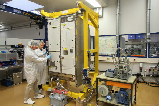
19th March 2018
Airbus delivers new life support system for the ISS
19th March 2018
Gatwick to be first airport in the world to trial autonomous vehicles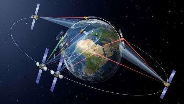
19th March 2018
SpaceDataHighway starts full Copernicus service
16th March 2018
Aquabotix Announces Sale of Hybrid Vehicle to KIGAM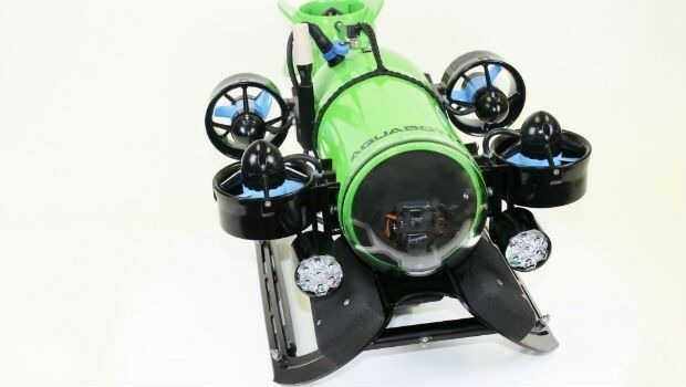
16th March 2018
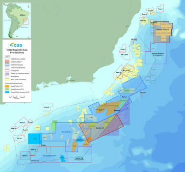
CGG Adds New Santos VIII Multi-Client Survey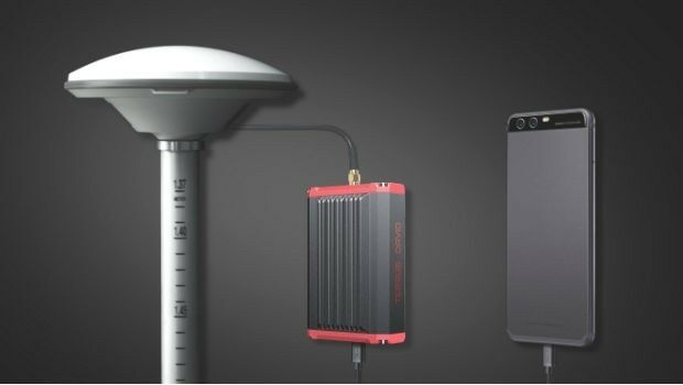
16th March 2018
Tersus Takes New Stride into Surveying with David GNSS Receiver16th March 2018
Airbus launches photonics payload technology project – OPTIMA
15th March 2018
CSA Engineer to be Honored at Australasian Oil and Gas Conference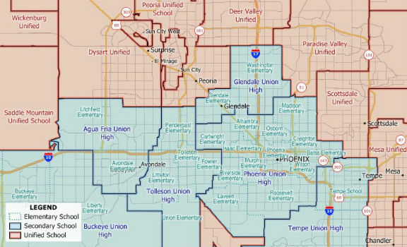
14th March 2018
New 2018 School District Data for Maptitude Mapping Software

14th March 2018
Hemisphere GNSS New Atlas®-Capable Vector™ V1000 GNSS Receiver
13th March 2018
Septentrio announces special version of AsteRx-U MARINE receiver
9th March 2018
Jamie Watson Joins Intelligent Telematics As Field Operations Manager
8th March 2018
EOMAP appointed as Satellite Derived Bathymetry provider
8th March 2018
smartStation: The intelligent stop of the future8th March 2018
Esri Releases Survey123 for ArcGIS with New Spike Integration8th March 2018
Space Flight Laboratory to Highlight Missions at Satellite 2018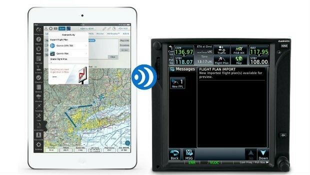
7th March 2018
Garmin® grows Connext® wireless cockpit connectivity portfolio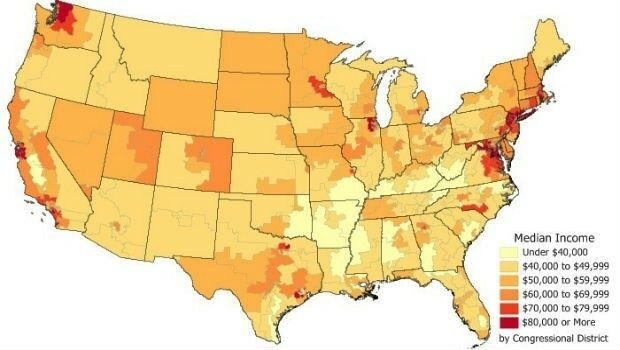
6th March 2018
Data for Use with Maptitude for entire USA
6th March 2018
NavAidDrone: new drone-based measurement system