
Intel to Acquire 15 Percent Ownership of HERE
3rd January 2017
Intel to Acquire 15 Percent Ownership of HEREThe compilation, reproduction and dissemination of maps and charts by means of manual (analogue) or digital techniques, tools and workflows. This topic covers the compilation, reproduction, dissemination and use of both analogue (paper) and digital maps, charts and atlases. As well as the science of cartography, including georeferencing and geocoding, digital techniques for compiling and generating various types of raster and vector maps and charts are covered, as are the digital mapping tools and Geographic Information Systems available for this purpose. The application of cartography for aeronautical, terrestrial and marine purposes is also covered
3rd January 2017
Intel to Acquire 15 Percent Ownership of HERE
.jpg)
3rd January 2017
ClearVision™ System to Comply with the New Landing FAA Regulations
3rd January 2017
Cadcorp Web Map Tile Service simplifies the deployment of OS data3rd January 2017
Rafael Awards Two Contracts to Elbit Systems
3rd January 2017
Garmin® G1000® NXi, the next generation integrated flight deck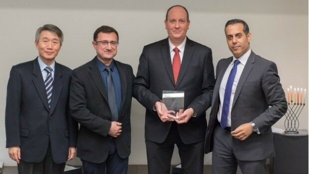
29th December 2016
HERE and Mobileye enter into partnership29th December 2016
Seven Organizations Receive Cityworks Exemplary User Award28th December 2016
Collaboration on Miniature Hyperspectral Ultraspectral Camera System27th December 2016
NavInfo, Tencent and GIC to invest in HERE27th December 2016
OGC Calls for Participation in its Indian Interoperability Plugfest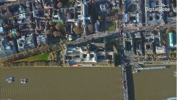
23rd December 2016
DigitalGlobe Releases “20 Iconic Satellite Images from 2016” Gallery23rd December 2016
Cityworks Conference Helps Build Solutions for Your Organization22nd December 2016
Hemisphere GNSS Announces Management Changes22nd December 2016
exactEarth Awarded Project with UK Space Agency22nd December 2016
Accurate satellite navigation as EU project Galileo goes live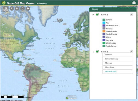
22nd December 2016
The Best Choice of Central GIS for Enterprises- SuperGIS Server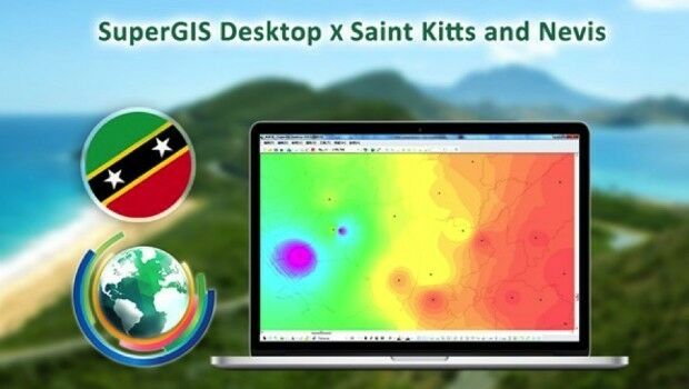
22nd December 2016
SuperGIS Desktop helps the Farmers in Saint Kitts and Nevis
22nd December 2016
The Excellent Mobile GIS App - SuperSurv 10 Is Coming Soon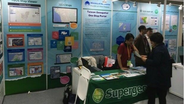
22nd December 2016
Supergeo Showcased the Latest GIS Products and Solutions in GSDI 15
22nd December 2016
The first offshore exhibition at the Maritime Museum Rotterdam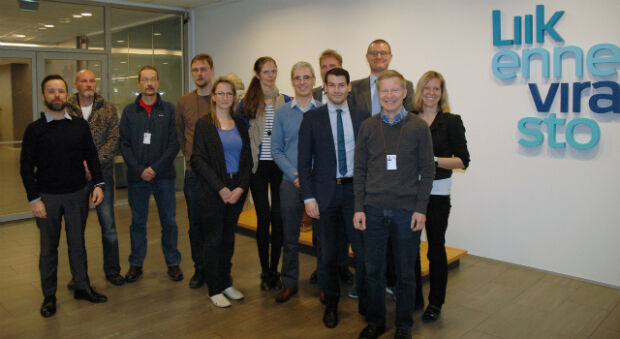
21st December 2016
The Finnish Transport Agency chooses Teledyne CARIS21st December 2016
Advanced Distribution Management System for Electric Utility Companies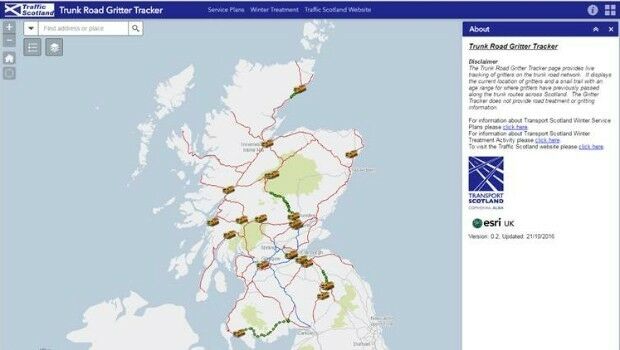
21st December 2016
Gritter Tracker coming to the rescue for snowed-in Scots21st December 2016
exactEarth to Provide India's Navy with Satellite AIS
21st December 2016
Revised Global Mapper Training Curriculum and Schedule for 201720th December 2016
Esri Unveils CityEngine Mobile Virtual Reality Solution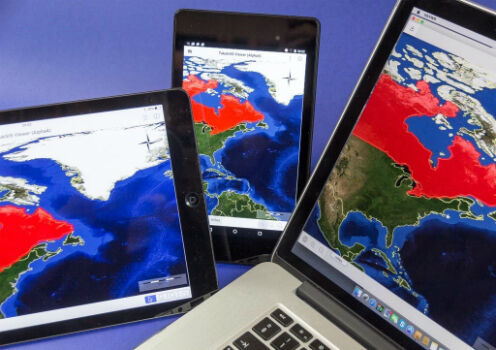
20th December 2016
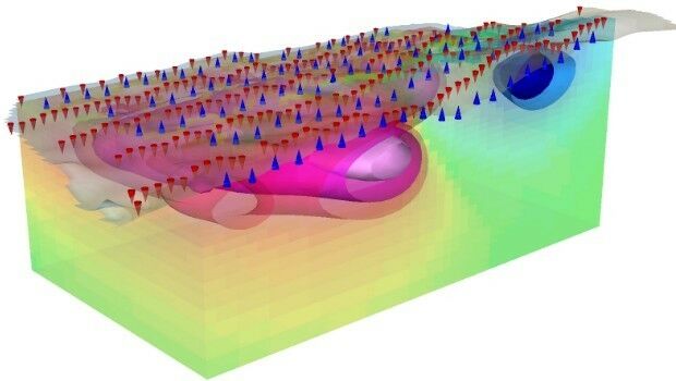
Geosoft introduce IP and resistivity inversion in VOXI Earth Modelling
20th December 2016
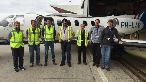
First test flights for air traffic modernisation project, completed20th December 2016
2017 is set to be a vital year for the drone industry.19th December 2016
New Esri ArcGIS Release Transforms Spatial Analytics19th December 2016
Topcon announces distribution with Intel for UAS solutions
19th December 2016
Copernicus Sentinel-3 Marine Data flow to users in Africa
19th December 2016
Five Years of the First Pléiades Satellite Launch Celebrated
19th December 2016
Autotalks CEO: 2017 will be the year of the DSRC-based V2X technology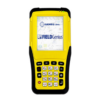
16th December 2016
Geneq inc. has announced the SXPad 1000P
16th December 2016
GSSI Student Grant winners to be Honoured at AGU Fall Meeting
16th December 2016
Fugro G4 Satellite Correction Service Optimises Latest Galileo Launch16th December 2016
CalAmp’s GovOutlook Integrates with Cityworks16th December 2016
Avenza Releases MAPublisher 9.9 For Adobe Illustrator