
Linear Draft - 3D BIM Overhead Line Electrification Designer
20th December 2017
Linear Draft - 3D BIM Overhead Line Electrification Designer20th December 2017
Linear Draft - 3D BIM Overhead Line Electrification Designer
15th December 2017
GeoSLAM Celebrates 5 Years In Business With New HQ & Record Growth14th December 2017
Orbit GT and Mena 3D, Germany, sign Reseller Agreement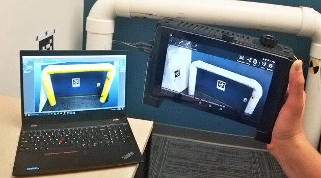
14th December 2017
Pointfuse Launch Point Cloud Software for DotProduct Scanners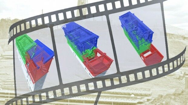
13th December 2017
3D Repo & Bryden Wood Launch 4D Virtual Reality Models
12th December 2017
New Version of Trimble eCognition Suite available
12th December 2017
ASCO-DAITO selects Siteco Pave-Scanner Pavement Mobile Mapping System
12th December 2017
Maptek unveils new strategic panel caving application
11th December 2017
Bouygues Construction Teams with Dassault Systèmes and Accenture6th December 2017
CGG announces the launch of CEO succession plan
4th December 2017
KOREC announces UK distributor agreement with GeoSLAM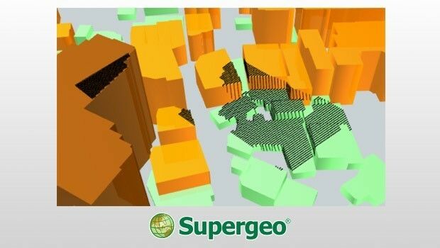
1st December 2017
3D Viewshed Will Be Released in the Next SuperGIS Earth Server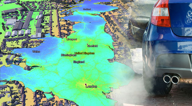
30th November 2017
EarthSense Releases New Nationwide Map of Air Pollution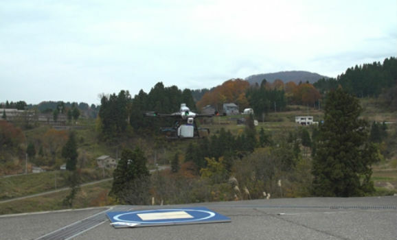
30th November 2017
World's First fully Autonomous Flight of "Smart Drone"29th November 2017
Global Mapper Available with Photogrammetric Point Cloud Generation29th November 2017
Scientific-grade GNSS with Real Time Kinematic Satellite Navigation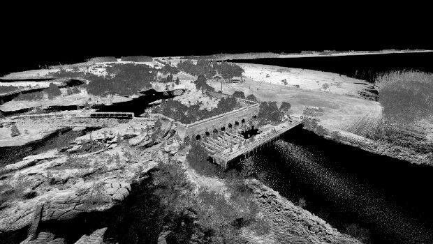
23rd November 2017
3D Laser Mapping launches campaign to release open-source LiDAR data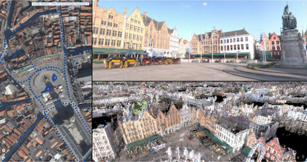
23rd November 2017
Orbit GT releases 3D Mapping Publisher v18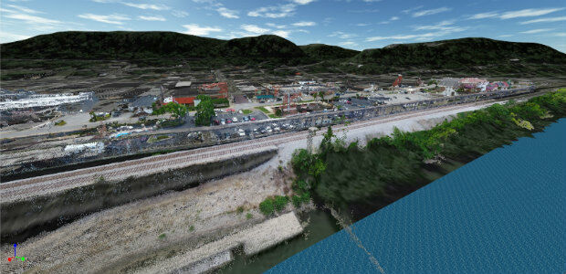

21st November 2017
Rennes, France Virtually Experiences its Sustainable Future
21st November 2017
CGG Announces Availability of Broadband High-Resolution Images
17th November 2017
New Version of Trimble eCognition Suite available
16th November 2017
Utilities Management System wins Satellite Navigation Competition 2017
16th November 2017
Explore South Africa’s National Parks From Your Armchair
16th November 2017
Autodesk and Esri Team to Advance Infrastructure Planning and Design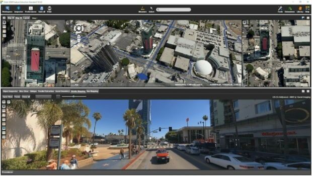
15th November 2017
Orbit GT releases 3D Mapping Feature Extraction Standard v1814th November 2017
DotProduct partners with Assemble Systems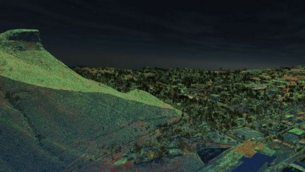
14th November 2017
Golden Software Releases Surfer® 2D and 3D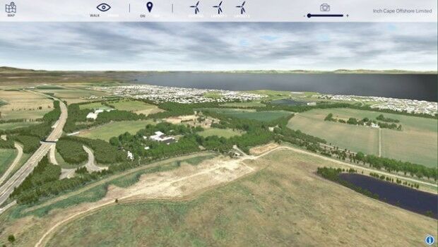
14th November 2017
Bluesky 3D Models Create Offshore Wind Farm VR Simulation

2nd November 2017
Bluesky LiDAR Data Used by RPS to Assess Flood Risk for Anglian Water
31st October 2017
Sierra Leone Makes Fourth Licensing Round Pre-Announcement31st October 2017
SimActive Automates Direct Georeferencing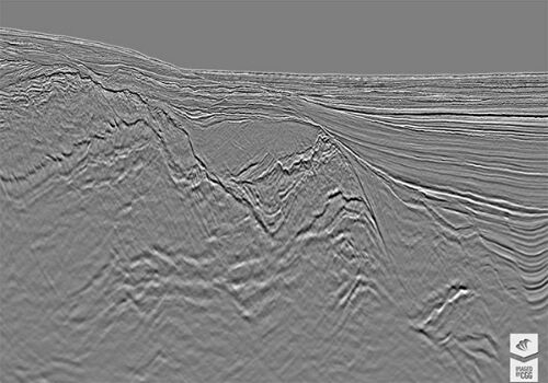
30th October 2017
CGG Delivers Final PSDM Products for Cairenn Multi-Client Survey
28th October 2017
WorldView Global Alliance User Conference 2017 Report26th October 2017
Smart City Capabilities at Smart City Expo World Congress 2017
25th October 2017
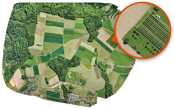
Bluesky's Tree Map Helps Community Forest Rebuild Environment
24th October 2017
3D Repo Releases Version 2.0 of BIM Collaboration Software

23rd October 2017
Ian MacLeod receives SEG Cecil Green Enterprise Award
20th October 2017
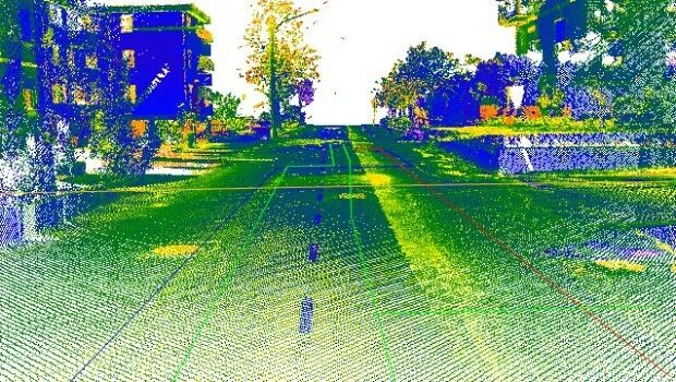
Maintenance of the utility networks with Mobile Mapping technology
18th October 2017
Geospatial Themed BIM Event Debates GIS Data Integration