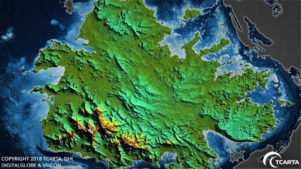
TCarta Delivers Satellite-Derived Land/Sea Floor Surface Models
17th April 2018
TCarta Delivers Satellite-Derived Land/Sea Floor Surface Models
17th April 2018
TCarta Delivers Satellite-Derived Land/Sea Floor Surface Models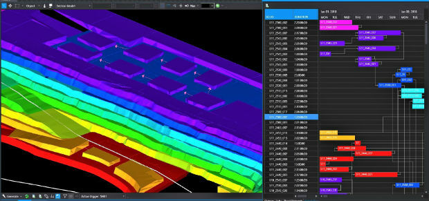
17th April 2018
Intelligent optimisation approach for strategic scheduling control
9th April 2018
Digital Construction Week Call-for-Papers Deadline Approaches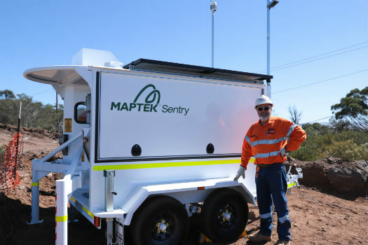
9th April 2018
Maptek showcases Sentry world-class monitoring system
4th April 2018
Bentley Systems’ Year in Infrastructure 2018 Conference and Awards Gala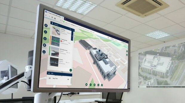
27th March 2018
New 3D Repo version adds BCF support and GIS integration21st March 2018
Global Mapper and LiDAR Module SDK v19.1 Now Available
19th March 2018
SCTX 2018: technology for greater security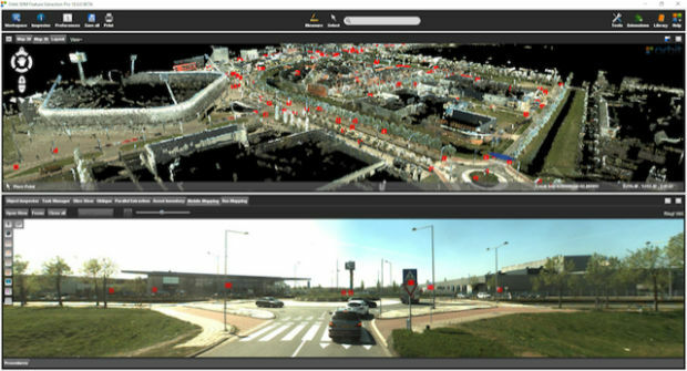
19th March 2018
Orbit GT releases 3D Mapping Feature Extraction Pro v18
15th March 2018
Bluesky National Tree Map Helps Tamworth Council Bloom8th March 2018
Bentley Systems Issues Call for Submissions2nd March 2018
CityEngine Used to Create Oscar-Nominated Effects in Blade Runner 204926th February 2018
TEOCO launches UAV Service Enablement Platform for Drones
21st February 2018
GeoSLAM to Demo Time & Cost Saving 3D Mobile Laser Scanners14th February 2018
Global Mapper v19.1 Now Available with New Features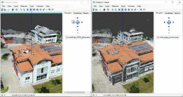
13th February 2018
ICAROS Uses TatukGIS SDK to Develop New Aerial Geospatial Data Viewer
12th February 2018
Bluesky Innovation Uses Mobile Phones to Create 3D Maps
9th February 2018
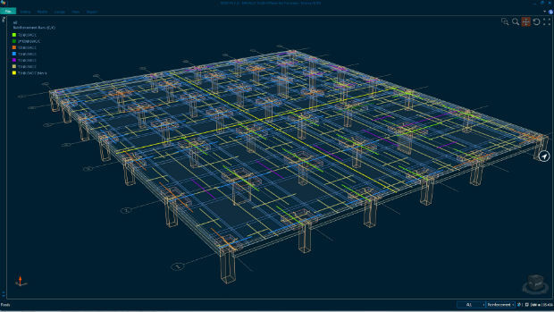
Bentley Systems Expands Concrete Building Design and Documentation
7th February 2018
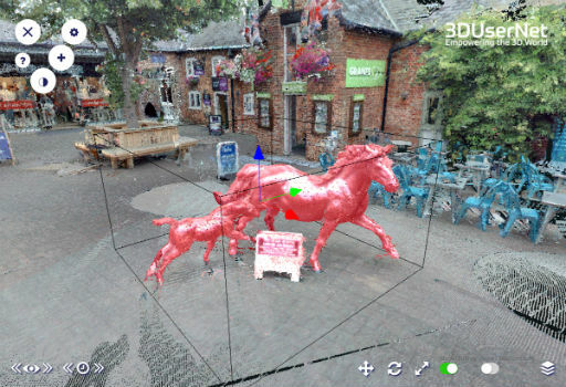
3DUserNet To Power Texodrone Online 3D Data Platform
6th February 2018
A partnership to integrate LiDAR and Photogrammetric technologies
4th February 2018
New SuperGIS 3D API for JavaScript - Coming Soon
4th February 2018
Orbit GT releases major update of 3D Mapping Cloud2nd February 2018
PCI Geomatics Releases GXL 2017, Service Pack 1
2nd February 2018
3D Laser Mapping releases real-time automated mine monitoring solutions.jpg)
2nd February 2018
3D at Depth Completes 300 Offshore LiDAR Metrologies
31st January 2018
Orbit GT releases 3D Mapping Content Manager v18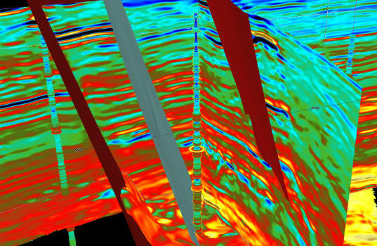
31st January 2018
CGG GeoSoftware Donates Jason Reservoir Characterization Software
25th January 2018
3DUserNet Adds Point Cloud Clipbox and IFC and FBX Model Formats
24th January 2018
Bentley Systems Expands through Acquisition of S-Cube Futuretech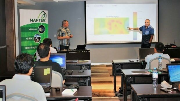
24th January 2018
Maptek launches new Master program in geostatistical modelling24th January 2018
Work Hard, Play Hard at the 2018 Carlson ‘Go West’ User Conference24th January 2018
Dassault Systèmes Recognized as the Worlds Most Sustainable Company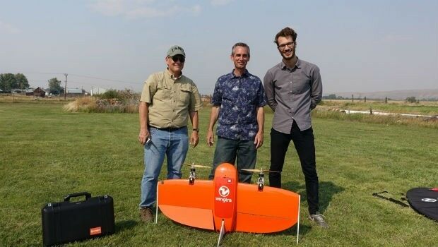
23rd January 2018
Wingtra partners with RDO Integrated Controls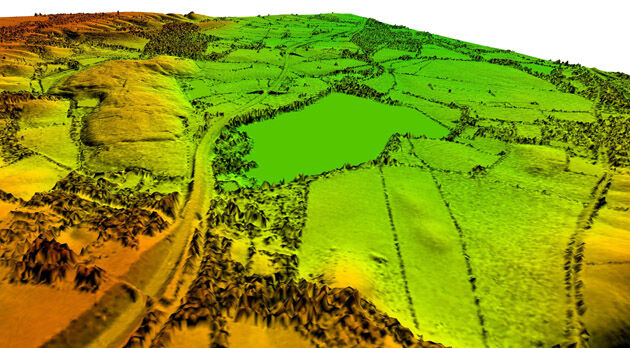
23rd January 2018
Bluesky Remote Sensing Data Improves Efficiency for WSP
22nd January 2018
Bentley Academic Program Suscribed By Escuela Superior De Ingenieria22nd January 2018
Hexagon to Feature Network Model Management Solutions
17th January 2018
PDF3D v2.15 Released with a host of New Features and Enhancements
17th January 2018
Golden Software Releases GrapherTM for 2D and 3D Graphing and Analysis13th January 2018
OceanGate and 2G Robotics to Laser Scan the RMS Titanic
12th January 2018
PDF3D’s Highest Performing 3D PDF Conversion Toolkit for Developers
11th January 2018
Bluesky LiDAR Helps Wiltshire Council Tackle Flooding Risk10th January 2018
Dassault Systèmes Announces Global Entrepreneur Program5th January 2018
Avenza Releases Geographic Imager 5.3 for Adobe Photoshop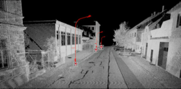
2nd January 2018
Orbit GT showcases Automated Pole and Bridge Clearance Detection20th December 2017
Topcon and Bentley announce kick-off of Constructioneering Academy