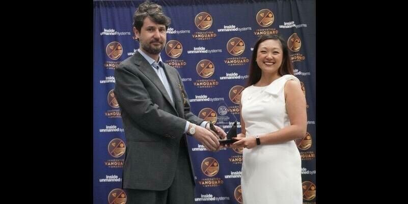
Exelon Clearsight, a robotics inspection company, recently acquired GeoCue Group's True View 615 3D Imaging System, adding to their fleet of cutting-edge drone mapping technologies.
The True View 615 3D Imaging System collects high accuracy LIDAR and imagery concurrently in a single drone flight, increasing project productivity and efficiency. This mapping sensor is bundled with True View EVO, an extensive post-processing software and data management tool, forming a complete drone mapping solution. With this equipment, provides greater vegetation management insights with true colorized points clouds fused with 3D data. These outputs make it easier to visualize, inspect, and create derivative products such as vegetation encroachment data.
Exelon Clearsight is focused on leveraging innovation and technology to conduct sustainable and safe inspection for critical utility infrastructure to drive progress to a more sustainable future. They value the safety of their customers and strive to offer services that will improve efficiency and reliability, while reducing ownership costs. GeoCue’s True View sensor aids Exelon Clearsight in that mission by providing a unique set of LIDAR/imagery fusion data to deliver high-accuracy measurements and analytics. Examples of derived products from the True View 3DIS include colorized 3D point clouds, breakline enforced 3D models, profiles, cross sections, topographic contours, volumetric analysis, classified ground models and more. These products increase the value Exelon Clearsight provides their customers, and allows for even more detailed services, plans, and insights.
Subscribe to our newsletter
Stay updated on the latest technology, innovation product arrivals and exciting offers to your inbox.
Newsletter

