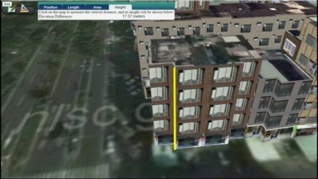
Managing Assets from Different Angles- SuperGIS 3D Earth Server
13th July 2017
Managing Assets from Different Angles- SuperGIS 3D Earth ServerNews as it happens! Keep in touch with the latest developments in business and technology in the regions or worldwide.
13th July 2017
Managing Assets from Different Angles- SuperGIS 3D Earth Server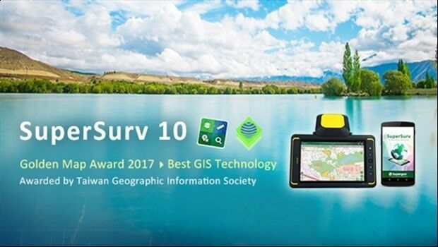
13th July 2017
SuperSurv 10 Wins Golden Map Award Issued by TGIS
13th July 2017
User-defined Coordinate System Will Soon Be Available in SuperSurv 10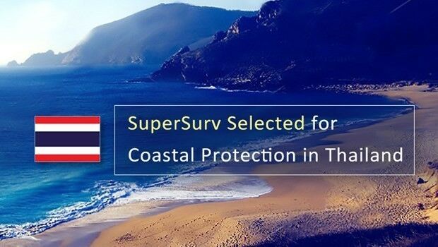
13th July 2017
SuperSurv 10 Selected for Coastal Protection in Thailand13th July 2017
Esri and NXN Partner to Create Smart Cities Internationally13th July 2017
GSDI Small Grants Program Awards Announced.jpg)
13th July 2017
Waste Collection company installs trucks with ARBOR's IOT-800 HMI
13th July 2017
Paragon Enhances Routing and Scheduling Software
13th July 2017
Barnsley Council drives efficiency with 1Spatial and FME
13th July 2017
Maxoptra Helps Keep Ten Mile Menu Food Deliveries Lean and Green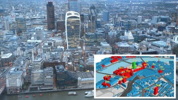
13th July 2017
Bluesky Launches Nationwide Map of Building Heights.jpg)
12th July 2017
Learn More About Maptitude at the NCSL Annual Conference12th July 2017
The Science of Where Forward Recognized at Esri Awards12th July 2017
TerraGo Software Utilized for Official Guide to Hong Kong12th July 2017
Esri and Microsoft Join Forces to Accelerate Conservation

12th July 2017
NAO takes GPS-based offender tagging project to task
12th July 2017
8th BaSYS User Conference with record number of participants
12th July 2017
Martek UAS announce ‘Gareth Knowles’ as the first UAS Strategist12th July 2017
The Institute Of Navigation Journal Experiences Impact Factor Growth11th July 2017
Esri Expands Its World Geocoding Service Capability