
Esri CityEngine 2017 Makes Urban Planning More Efficient
6th July 2017
Esri CityEngine 2017 Makes Urban Planning More EfficientNews as it happens! Keep in touch with the latest developments in business and technology in the regions or worldwide.
6th July 2017
Esri CityEngine 2017 Makes Urban Planning More Efficient
5th July 2017
NEW Architectural 3D Models of UK available from Joanna-James
5th July 2017
LafargeHolcim Cements Relationship with Maxoptra Route Planning5th July 2017
OGC announces Geoscience Australia as its newest Principal Member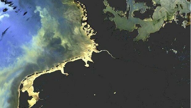
5th July 2017
Sentinel-3 OLCI and SLSTR Level 2 Products now fully operational
5th July 2017
Understanding large-scale plant health with Satellite Data5th July 2017
Wärtsilä waterjets to power new Danish high-speed ferry
5th July 2017
Elbit Subsidiary Awarded Contract to Supply Electro Optic Systems4th July 2017
Copernicus App Lab is open for registration
4th July 2017
Repair And Maintenance Services For Petrobras In Brazil4th July 2017
UK construction sector recovery loses momentum in June
4th July 2017
GeoConnexion is partnering with the Flood Expo 20173rd July 2017
EuroSDR award for best PhD thesis related to geoinformation science3rd July 2017
Scintillation on Galileo signals in Antarctica recorded
3rd July 2017
Winners of Asian Utility Innovator’s Awards 2017 Announced
3rd July 2017
The outdoor industry pledges to help Great Britain GetOutside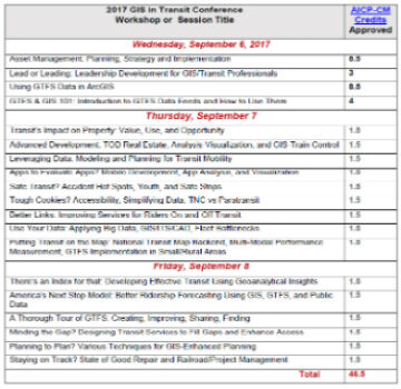
1st July 2017
2017 GIS in Transit Conference Approved for Nearly 50 AICP-CM Credits
30th June 2017
Commonplace and Waltham Forest win best stakeholder engagement Award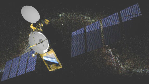

30th June 2017
Juniper Systems Founder Ron Campbell Retires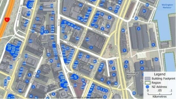
30th June 2017
Maptitude Now Has 2 Million New Zealand Address Points