
News
News as it happens! Keep in touch with the latest developments in business and technology in the regions or worldwide.
Michael P. Huerta to Deliver Grand Opening Keynote at InterDrone
11th August 2017
Michael P. Huerta to Deliver Grand Opening Keynote at InterDrone
_2.jpg)
Bentley Announces Finalists in 2017 "Be Inspired" Awards Program
11th August 2017
Bentley Announces Finalists in 2017 "Be Inspired" Awards Program

GeoSLAM Unveils Predictions For Engineering's Digital Future
10th August 2017
GeoSLAM Unveils Predictions For Engineering's Digital Future
CIRRUAS Drone Program for Public Safety Agencies
10th August 2017
CIRRUAS Drone Program for Public Safety Agencies_Copyright_Airbus_2017.jpg)
Airbus completes MetOp-C platform/payload coupling
10th August 2017
Airbus completes MetOp-C platform/payload coupling
BARTHAUER securely positioned for the future
10th August 2017
BARTHAUER securely positioned for the future
Metering infrastructure connectivity in remote areas solved
10th August 2017
Metering infrastructure connectivity in remote areas solved
Masternaut launches short-term hire vehicle telematics
10th August 2017
Masternaut launches short-term hire vehicle telematics

3D Repo’s VR Simulator Helps TRL Shape Autonomous Vehicles Services
10th August 2017
3D Repo’s VR Simulator Helps TRL Shape Autonomous Vehicles Services
Planners Can Earn Ample CM Credits At URISA Conferences
10th August 2017
Planners Can Earn Ample CM Credits At URISA Conferences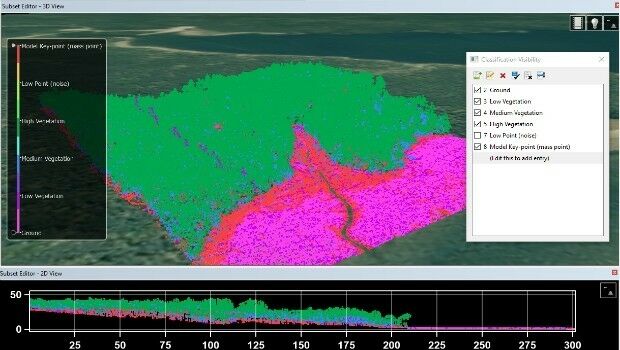
Teledyne CARIS Releases New Version of Bathy DataBASE
10th August 2017
Teledyne CARIS Releases New Version of Bathy DataBASE
Web Mapper in SuperGIS Server 10- Building Web GIS without Coding
9th August 2017
Web Mapper in SuperGIS Server 10- Building Web GIS without Coding
Upcoming SuperGIS Webinar- Web-based 3D Cadastral Mapping
9th August 2017
Upcoming SuperGIS Webinar- Web-based 3D Cadastral Mapping
The Commercial UAV Show 15-16 November 2017 ExCel, London
9th August 2017
The Commercial UAV Show 15-16 November 2017 ExCel, London
Monroe County, Fla., Upgrades CompassCom Mobile Resource Management
9th August 2017
Monroe County, Fla., Upgrades CompassCom Mobile Resource Management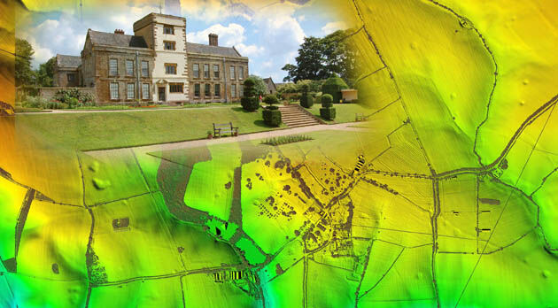
Bluesky LiDAR Helps ArcHeritage Reveal Hidden Treasures
9th August 2017
Bluesky LiDAR Helps ArcHeritage Reveal Hidden Treasures
3G Vehicle Cameras Can Cut Premiums By More Than Half
9th August 2017
3G Vehicle Cameras Can Cut Premiums By More Than Half
Strategic Education Alliance Agreement with Stellenbosch University
9th August 2017
Strategic Education Alliance Agreement with Stellenbosch University