
News
News as it happens! Keep in touch with the latest developments in business and technology in the regions or worldwide.

ABPmer becomes Official Tidal Modelling Supplier of SailGP
20th September 2021
ABPmer becomes Official Tidal Modelling Supplier of SailGP
SMi's 23rd Annual Global MilSatCom Confex - day two USA focused expert speakers announced
17th September 2021
SMi's 23rd Annual Global MilSatCom Confex - day two USA focused expert speakers announced
RouteSmart and HERE improve delivery optimization tools for postal and parcel industries
17th September 2021
RouteSmart and HERE improve delivery optimization tools for postal and parcel industriesEnergy Harvesting Smart Buoy collects data of marine environment
17th September 2021
Energy Harvesting Smart Buoy collects data of marine environment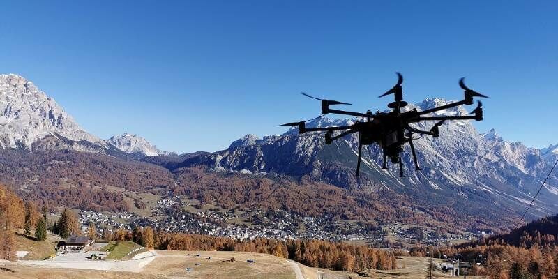
Intergeo 2021 Live + Digital, September 21-23, 2021: Join RIEGL at booth 20C.22, Hall 20 or digitally
16th September 2021
Intergeo 2021 Live + Digital, September 21-23, 2021: Join RIEGL at booth 20C.22, Hall 20 or digitallyDiverse program around professional mobile radio
16th September 2021
Diverse program around professional mobile radio
Hexagon to showcase groundbreaking autonomous solutions and smart digital realities at INTERGEO 2021 Live+Digital
16th September 2021
Hexagon to showcase groundbreaking autonomous solutions and smart digital realities at INTERGEO 2021 Live+DigitalRevolutionary NEW ergonomic stereo displays for the GIS market
16th September 2021
Revolutionary NEW ergonomic stereo displays for the GIS market
Navigating Obstacles Now to Implement Efficient IoT Systems in Next-Gen Newbuild and Retrofitted Fleets
15th September 2021
Navigating Obstacles Now to Implement Efficient IoT Systems in Next-Gen Newbuild and Retrofitted Fleets
Topnet Live GNSS network expands to meet increased digitalization demands
15th September 2021
Topnet Live GNSS network expands to meet increased digitalization demandsHexagon introduces Security & Surveillance portfolio for rail
14th September 2021
Hexagon introduces Security & Surveillance portfolio for railSport England improves understanding of where investment is needed most with Esri UK’s national data service
14th September 2021
Sport England improves understanding of where investment is needed most with Esri UK’s national data service“Green” Hydrogen made in Africa to be discussed at the Africa Green Hydrogen Forum
14th September 2021
“Green” Hydrogen made in Africa to be discussed at the Africa Green Hydrogen ForumLeica Geosystems Partners with Infotech to Introduce Construction Inspection Solution, Increases Efficiency of Data Collection for Civil Infrastructure Projects
13th September 2021
Leica Geosystems Partners with Infotech to Introduce Construction Inspection Solution, Increases Efficiency of Data Collection for Civil Infrastructure Projects
1Spatial wins strategic government contract supporting Atkins to deliver NUAR following competitive
13th September 2021
1Spatial wins strategic government contract supporting Atkins to deliver NUAR following competitive
Sensors, drones and satellites: smart farming for the future!
13th September 2021
Sensors, drones and satellites: smart farming for the future!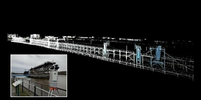
New open-source wireless GPS/GNSS hardware for IoT and autonomous applications
10th September 2021
New open-source wireless GPS/GNSS hardware for IoT and autonomous applicationsDescartes Labs to Host GEOINT 2021 Training Workshop on Creating Machine Learning-Based Computer Vision Models for Planetary Scale Data Analysis
10th September 2021
Descartes Labs to Host GEOINT 2021 Training Workshop on Creating Machine Learning-Based Computer Vision Models for Planetary Scale Data Analysis
Outdooractive UK expands its cartography team ahead of satellite tech advances
9th September 2021
Outdooractive UK expands its cartography team ahead of satellite tech advances