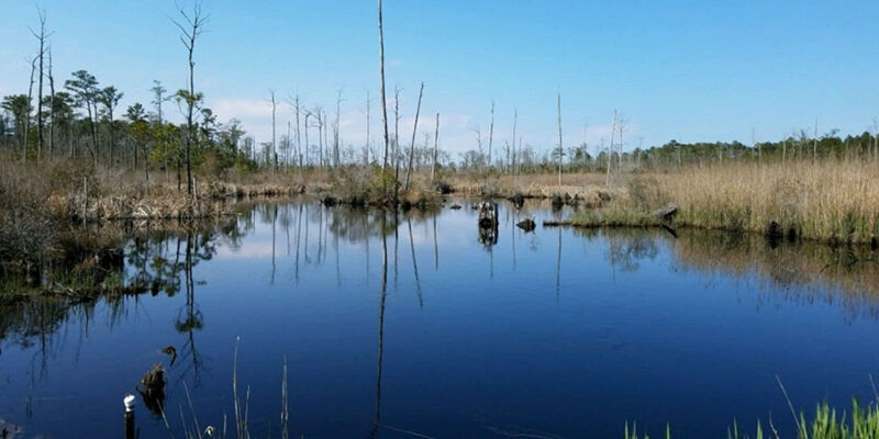
Satellite imagery may help protect coastal forests from climate change
3rd November 2024
Satellite imagery may help protect coastal forests from climate change
3rd November 2024
Satellite imagery may help protect coastal forests from climate change

23rd October 2024
Pros and cons of migrating GIS to the cloud
22nd October 2024
How geotechnology and EO data can unlock value for the financial services sector
18th October 2024
Mapping a More Integrated Future: The Benefits of Integrating GIS and ERP Systems for Enterprises
15th October 2024
Copernicus Polar Roadmap: EU satellite observations help respond to emerging polar challenges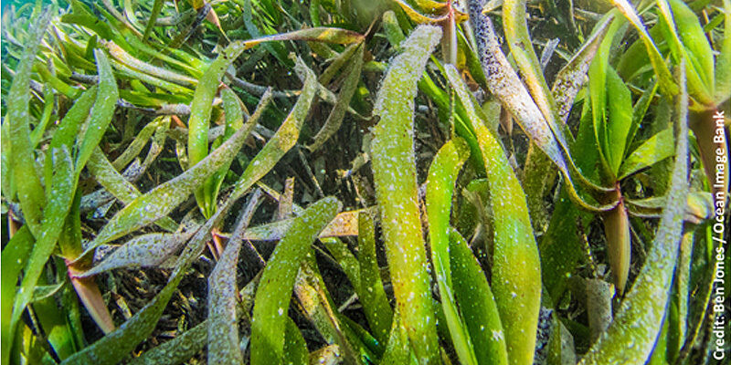
7th October 2024
Sentinel-2 data reveal significant seasonal variations in intertidal seagrass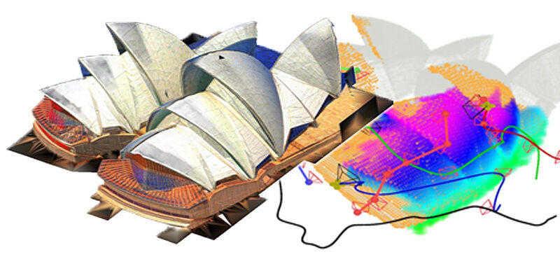
27th September 2024
LiDAR-based system allows unmanned aerial vehicle team to rapidly reconstruct environments
24th September 2024
Glasgow spearheads quantum research into resilient Position, Navigation and Timing
23rd September 2024
Does your plane know where it is? The rise of spoofing attacks in aviation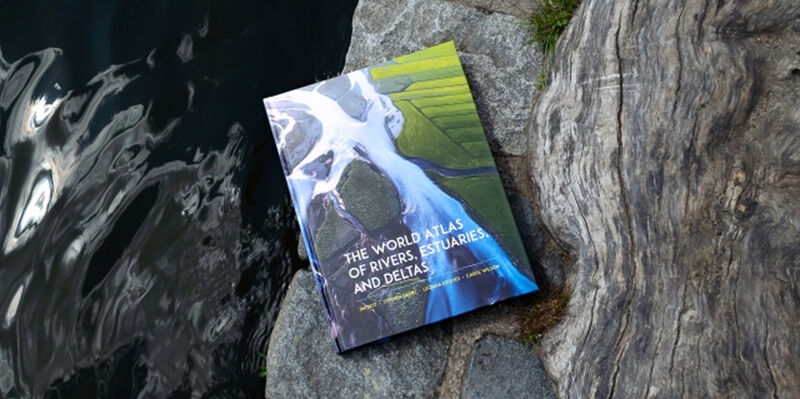
11th September 2024
More than maps: New atlas captures the state of global river systems through human context
9th September 2024
Improved paddy rice classification utilising Sentinel-1/2 imagery
28th August 2024
Protecting electric grid health with drone-based power line inspection
26th August 2024
Drone-based magnetometry helps in search to solve the Amelia Earhart mystery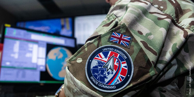
19th August 2024
UK Space Command successfully launches first military satellite
14th August 2024
Quantum sensing milestone draws closer to exquisitely accurate, GPS-free navigation
8th August 2024
SWIFTT: A Copernicus-based forest management tool
5th August 2024
Machine learning helps predict diversity of forest tree species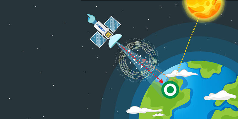
15th July 2024
AI model harnesses physics to autocorrect remote sensing data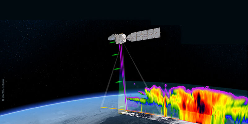
11th July 2024
EarthCARE offers a sneak peek into Earth's energy balance

3rd July 2024
New imaging technique uses Earth's warped surface to reveal rocky interior