
Real-Time Terrain Following vs. High-Resolution DEM
10th February 2026
Real-Time Terrain Following vs. High-Resolution DEM
10th February 2026
Real-Time Terrain Following vs. High-Resolution DEM
5th February 2026
Model Fencing: Towards Simpler and Safer AI
4th February 2026
EAASI Summit 2025: Annual Gathering Reflects Year-Round Industry Collaboration
3rd February 2026
Beyond Geospatial: Safe Software’s Journey to a Global, AI-Driven Integration Platform

23rd January 2026
Mapping the future of connectivity: how GIS is solving telecom infrastructure challenges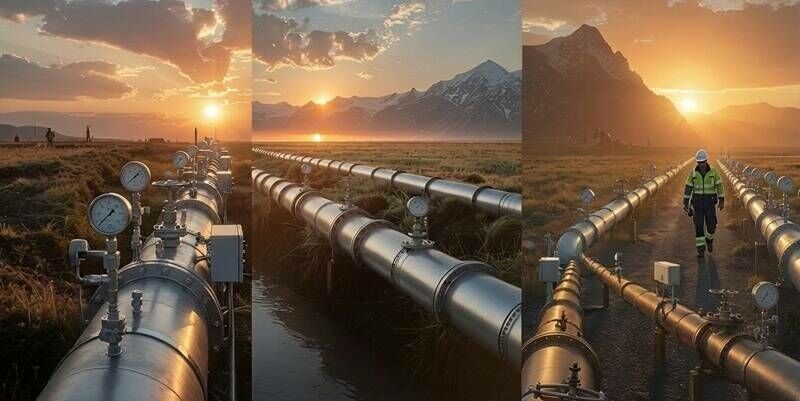
21st January 2026
Keeping our Utility Infrastructure Safe Through “Defense in Depth”
20th January 2026
Stealth quantum sensors unlock possibilities anywhere GPS doesn’t work
20th January 2026
Mapping Italy’s future: A first-of-its-kind seagrass mapping project to support ocean health and the blue economy
19th January 2026
AGI Foresight Report 2030 – The Future of Geospatial
16th January 2026
What Employers Are Really Looking for in GIS Candidates in 2026
15th January 2026
Building a resilient foundation: Unified gazetteers in local government reorganisation
9th January 2026
One image is all robots need to find their way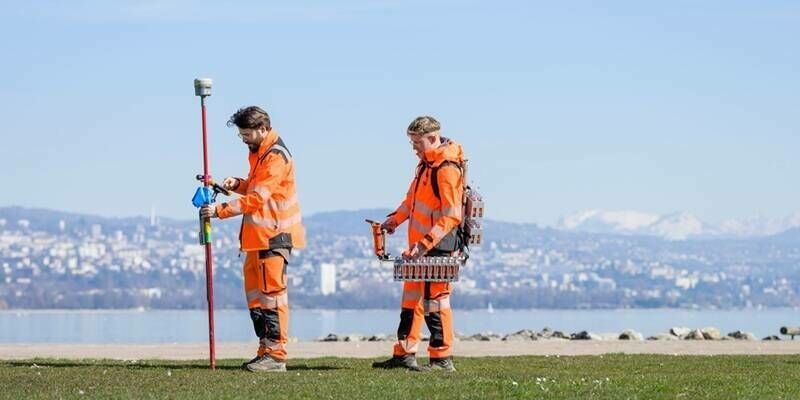
8th January 2026
STRYDE celebrates record year and eyes further growth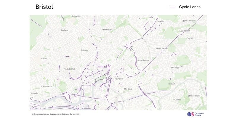
8th January 2026
New national cycle lane data will support local authorities and central Government in promoting Active Travel and public safety

12th December 2025
Powering intelligence: GIS and AI data centres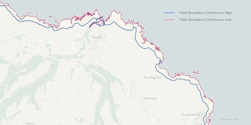
12th December 2025
New Tidelines data from Ordnance Survey could strengthen coastal erosion and flood risk monitoring
12th December 2025
Predictions 2026 - Manish Jethwa, CTO, Ordnance Survey
7th December 2025
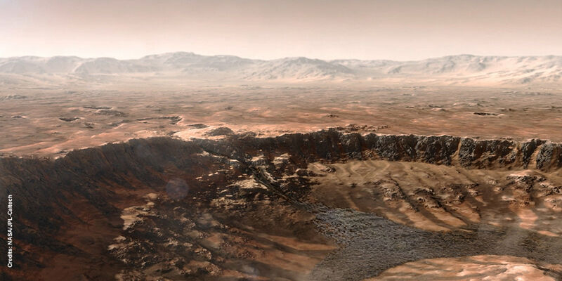
Long ago, Mars had massive watersheds—now finally mapped
4th December 2025
Winners announced of “Seize the beauty of our planet” contest
2nd December 2025
The geospatial revolution and why this time around, everyone’s invited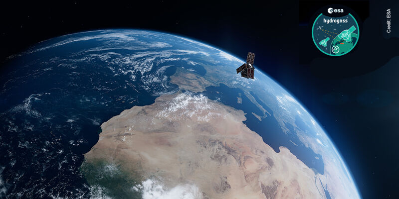
30th November 2025
ESA’s HydroGNSS mission launched to ‘scout’ for water