
Integrated Drone Multispectral Mapping Solution for Agriculture
29th August 2017
Integrated Drone Multispectral Mapping Solution for Agriculture29th August 2017
Integrated Drone Multispectral Mapping Solution for Agriculture29th August 2017
Exploring the new Global Drone Ecosystem in Lausanne, Switzerland26th August 2017
Terra Drone is to release Terra Mapper a new image processing software24th August 2017
GPM2 Design choose COPTRZ to enable drone surveying & inspection23rd August 2017
Multiple senseFly drones added to the list of compliant systems23rd August 2017
Real-time imagery for firefighters saves lives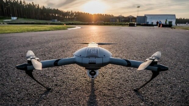
22nd August 2017
Atlas Dynamics to Launch Autonomous Professional Drone System15th August 2017
Hexagon announces updates to 2017 airborne imagery collection plans15th August 2017
Large Companies Target Energy Independent Electric Vehicles11th August 2017
Drone based LiDAR for Aberystwyth University global research11th August 2017
Michael P. Huerta to Deliver Grand Opening Keynote at InterDrone10th August 2017
CIRRUAS Drone Program for Public Safety Agencies9th August 2017
The Commercial UAV Show 15-16 November 2017 ExCel, London4th August 2017
3DR Site Scan processing now powered by Pix4D3rd August 2017
Geovation start-up partners with insurance giant28th July 2017
UAS Mapping Certification Program at Commercial UAV Expo 201727th July 2017
GeoCue GNSS Direct Geopositioning System For Low Cost DJIDrones27th July 2017
Icaros and TeAx Announce an Integrated Drone Mapping Solution26th July 2017
Majority Of Drone Owners Welcome Flying Exam26th July 2017
DFS launches free app to support safe drone flights24th July 2017
Plowman Craven Launches Vogel R3D Rail Survey System24th July 2017
FLIR Releases FLIR Blackfly S GigE Machine Vision Camera Family20th July 2017
UNICEF & Vanuatu Government Select Martek for UAS Vaccine Delivery15th July 2017
5th Edition of the Unmanned Cargo Aircraft Conference12th July 2017
Martek UAS announce ‘Gareth Knowles’ as the first UAS Strategist
7th July 2017
Carbomap Ready to Map the World with Advanced LiDAR on Fixed-Wing UAV6th July 2017
senseFly announces worry-free service package6th July 2017
Ultra-high accuracy version of DATAhawk now available` - DATAhawk PPK29th June 2017
CompassDrone™ to Demo Integration of DJI Video with ArcGIS28th June 2017
senseFly brings drone education to Esri User Conference26th June 2017
Big success for first pan-European drone conference and trade fair23rd June 2017
Precision Capture and QuestUAV Form Strategic Partnership23rd June 2017
Pix4D and Parrot announce the climate innovation grant winners
21st June 2017
PDF3D V2.14 Meets Demands of Drones, Scanners and 3D Design Apps21st June 2017
Drone Inspections go nuclear with GPS and RADAR20th June 2017
Aeromapper Talon demonstrates BVLOS capabilities19th June 2017
Terra Drone Delves Deeper Into the Australian Market16th June 2017
Orbit GT releases UAS Mapping v17.1 with Cloud Upload feature13th June 2017
Pan-Europe commercial drone event starts next Tuesday. Don’t miss!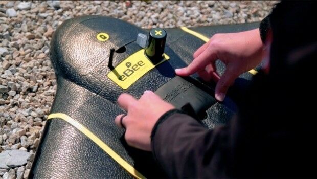
12th June 2017
senseFly to showcase drone innovations at INTERGEO 201712th June 2017
Drone Hero Finalists to Battle it Out in Brussels!9th June 2017
Martek appoint leading UAS “Subject Matter Expert” as Technical Manager