
HERE Technologies introduces HERE XYZ, a new cloud service
4th October 2018
HERE Technologies introduces HERE XYZ, a new cloud service
4th October 2018
HERE Technologies introduces HERE XYZ, a new cloud service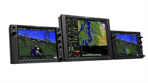
4th October 2018
Garmin announces the G1000 NXi upgrade for the Piper M500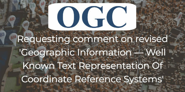
4th October 2018
OGC requests comment on candidate standard: Geographic Information

3rd October 2018
Orbit GT opens Singapore office to support APAC region expansion
3rd October 2018
USGIF Launches Third Annual EdGEOcation Giving Campaign3rd October 2018
Fugro Enhances Support For Oil And Gas Industry In Nigeria
3rd October 2018
New data mapping technology to be trialled at Allianz Arena3rd October 2018
Abstracts for ION ITM 2019 and PTTI 2019 are due October 103rd October 2018
GNSS SDR Medadata Standards Public Comment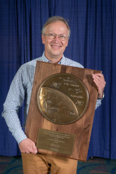
3rd October 2018
Dr. Oliver Montenbruck Receives Johannes Kepler Award
3rd October 2018
Dr. Yu Jiao Receives Bradford W. Parkinson Award
2nd October 2018
RIEGL to Attend and Exhibit at IACP 2018!2nd October 2018
Extensis and LizardTech Unite as One Company
2nd October 2018
GSSI to Showcase Latest GPR Products at INTERGEO 2018
2nd October 2018
GSSI Showcases Newest GPR Equipment at ASNT Annual Conference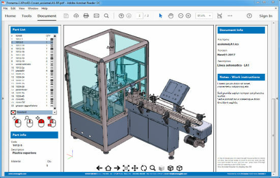
2nd October 2018
PDF3D Helps IronCAD Integrator Add 3D Parts List Publishing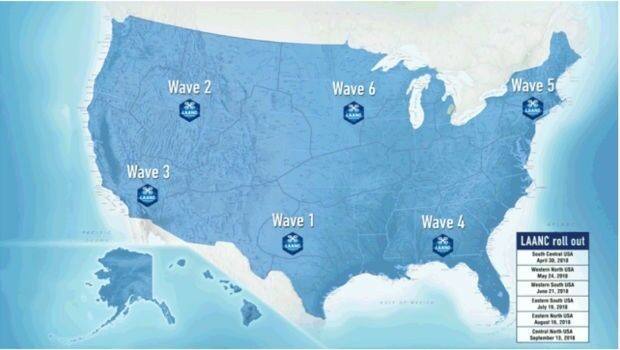
2nd October 2018
Unifly certified by FAA to offer LAANC service
2nd October 2018
Rezatec provides AHDB with innovative geospatial data analytics2nd October 2018
PCI Geomatics Releases Geomatica and GXL 2018
1st October 2018
Free Highway Exits & Interchanges Data for Use with Maptitude 2018
1st October 2018
INTERGEO NEWS | SMART CITY SOLUTIONS - This is what you can expect!
1st October 2018
Free U.S. Traffic Count Data for Use with Maptitude

1st October 2018
DYWIDAG-Systems International (DSI) Acquires Datum Group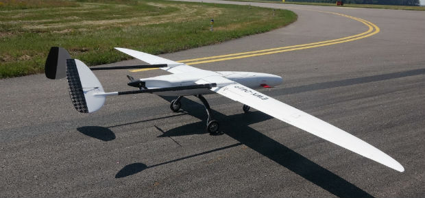
1st October 2018
UAVOS Fixed-Wing UAV Sitaria Completed Flight Tests
1st October 2018
UltraCam Panther & UltraMap Terrestrial v1.0 released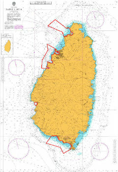
1st October 2018
UK Hydrographic Office conducts seabed mapping in St Lucia
1st October 2018
OceanWise provides mapping data and expertise to Blue Marine
29th September 2018
Orbit GT to exhibit and showcase new releases at INTERGEO, Frankfurt

28th September 2018
How Drones Can Optimize Surveying and Mapping Projects28th September 2018
SLAMcore raises $5M to bring spatial AI algorithms to market28th September 2018
Boundless launches intuitive GIS Learning Platform, Boundless Learning
28th September 2018
Getech Releases Globe 2018 for Improved Basin Screening and Exploration28th September 2018
Esri Talks Blockchain Readiness at CSCMP EDGE 2018
28th September 2018
Space Flight Laboratory to Showcase Microspace Applications
27th September 2018
Joining the dots with new viaEuropa vector tile service from Europa26th September 2018
Geovation helps establish GeoTech and PropTech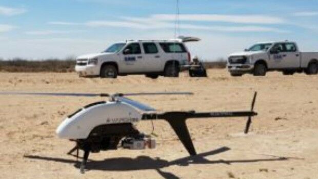
26th September 2018
SAM, LLC: Using Technology To Enhance Solutions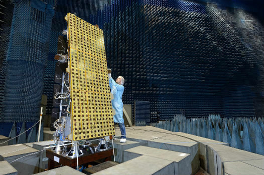
26th September 2018
BARSC Welcomes SSTL as a New Corporate Member26th September 2018
Driving geospatial innovation in Singapore and the United Kingdom

26th September 2018
Garmin® G950 NXi integrated flight deck certified26th September 2018
RIEGL to Exhibit and Present at Commercial UAV Expo 2018!
_Airbus_-_AirNode_Demo.jpg)
