
Satellite Positioning, Navigation & Timing (PNT)
Don't miss a beat, sign up to our newsletter
Hexagon strengthens mine safety portfolio with enterprise platform
8th November 2018
Hexagon strengthens mine safety portfolio with enterprise platformTeledyne CARIS Sponsoring GEBCO Symposium 2018
8th November 2018
Teledyne CARIS Sponsoring GEBCO Symposium 2018Inauguration of Europe’s most modern satellite control centre
8th November 2018
Inauguration of Europe’s most modern satellite control centre
CGG’s Mozambique Multi-Client Survey Now Available
8th November 2018
CGG’s Mozambique Multi-Client Survey Now AvailablePointStudio - New name and platform for Maptek spatial data application
8th November 2018
PointStudio - New name and platform for Maptek spatial data application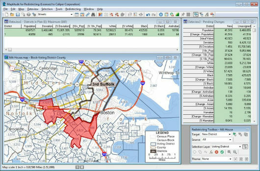
Learn More About Maptitude for Redistricting
8th November 2018
Learn More About Maptitude for Redistricting
Boundless to Sponsor AGS Geography Teacher Fellows Program at Geography 2050
8th November 2018
Boundless to Sponsor AGS Geography Teacher Fellows Program at Geography 2050
Map Maker AND joins the Esri Partner Network
7th November 2018
Map Maker AND joins the Esri Partner NetworkMapAction wins Data Analysts User Group award
7th November 2018
MapAction wins Data Analysts User Group awardAll good things come in threes: MetOp-C successfully launched
7th November 2018
All good things come in threes: MetOp-C successfully launchedRIEGL is Expanding their Airborne and UAV Sensor Product Range!
7th November 2018
RIEGL is Expanding their Airborne and UAV Sensor Product Range!
Esri announces 20th annual GIS Day to be held on Nov 14
7th November 2018
Esri announces 20th annual GIS Day to be held on Nov 14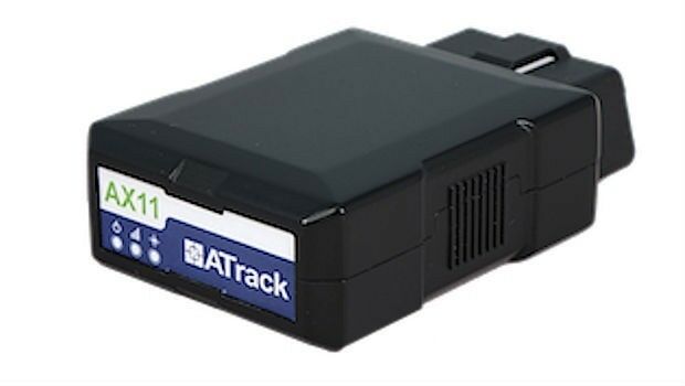
ATrack Recognized with 2018 ICT Month Innovative Elite Award
7th November 2018
ATrack Recognized with 2018 ICT Month Innovative Elite Award
TPC Desktop 2018 Release 2 is Now Available!
7th November 2018
TPC Desktop 2018 Release 2 is Now Available!EUMETSAT’s third Metop satellite successfully launched
7th November 2018
EUMETSAT’s third Metop satellite successfully launched
RIEGL will be attending and exhibiting at Autodesk University 2018!
7th November 2018
RIEGL will be attending and exhibiting at Autodesk University 2018!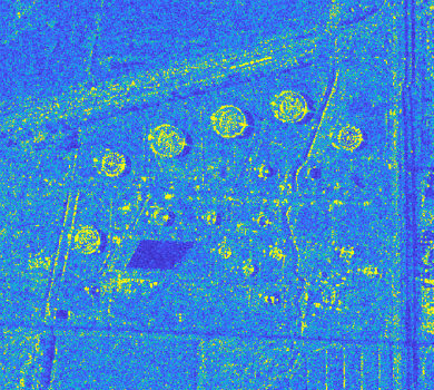
Airbus and Ursa to continue partnership on use of radar satellite data
29th October 2018
Airbus and Ursa to continue partnership on use of radar satellite data
GfK releases updated maps for all of Europe
29th October 2018
GfK releases updated maps for all of Europe
SAFIR consortium chosen to carry out U-space drone demonstrations
29th October 2018
SAFIR consortium chosen to carry out U-space drone demonstrations
Garmin receives approval for the GFC 500 autopilot
27th October 2018
Garmin receives approval for the GFC 500 autopilot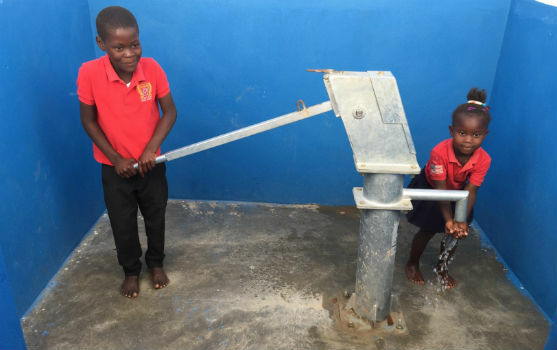
Eos Supports Haiti Outreach in its Sustainable Water Initiative
27th October 2018
Eos Supports Haiti Outreach in its Sustainable Water Initiative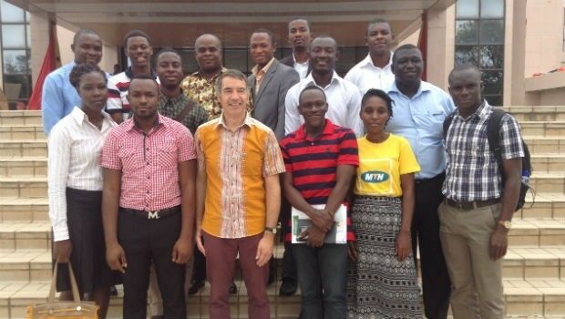
DARA project wins Better Satellite World Award
26th October 2018
DARA project wins Better Satellite World Award
MOVE 2019 Launches, Ready to Revolutionise Urban Mobility
26th October 2018
MOVE 2019 Launches, Ready to Revolutionise Urban Mobility
Airbus launches Ocean Finder to improve safety of assets at sea
25th October 2018
Airbus launches Ocean Finder to improve safety of assets at sea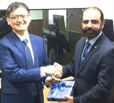
Pakistan’s Bahria University Benefits from CGG GeoSoftware’s Donation
25th October 2018
Pakistan’s Bahria University Benefits from CGG GeoSoftware’s Donation
City Technical Services To Improve Efficiency And Enhance Safety
25th October 2018
City Technical Services To Improve Efficiency And Enhance Safety
Dassault Systèmes Introduces SOLIDWORKS 2019
25th October 2018
Dassault Systèmes Introduces SOLIDWORKS 2019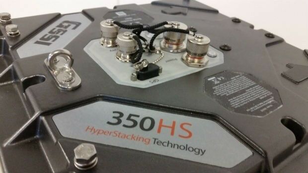
GSSI Highlights UtilityScan® GPR System at GSA Annual Meeting
25th October 2018
GSSI Highlights UtilityScan® GPR System at GSA Annual Meeting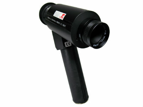
IR Viewers - Available from Stock for Quick Dispatch
24th October 2018
IR Viewers - Available from Stock for Quick Dispatch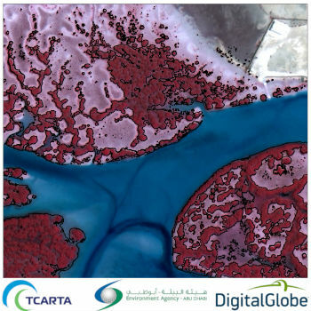
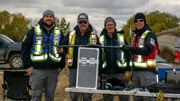
Satellite-Derived Mangrove Health Assessment Delivered to Abu Dhabi
24th October 2018
Satellite-Derived Mangrove Health Assessment Delivered to Abu Dhabi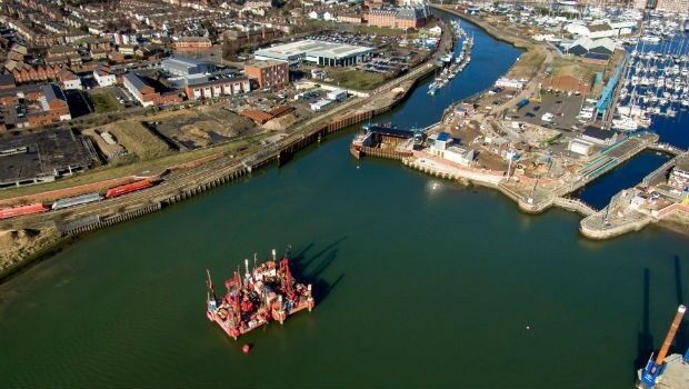
Fugro Seminar To Spotlight Role Of Geoscience
24th October 2018
Fugro Seminar To Spotlight Role Of Geoscience
Esri enters into MOU with UAE Statistics Authority
24th October 2018
Esri enters into MOU with UAE Statistics Authority
Lockheed Martin Purchase An Aeromapper Talon sUAS
24th October 2018
Lockheed Martin Purchase An Aeromapper Talon sUAS
Remember Remember QGIS 3 Training in November
24th October 2018
Remember Remember QGIS 3 Training in November
SSTL’s international exports recognised with a UK Board of Trade Award
24th October 2018
SSTL’s international exports recognised with a UK Board of Trade Award
GeoSpock Wins Liverpool Mayor’s ‘Smart Cities Realised’
24th October 2018
GeoSpock Wins Liverpool Mayor’s ‘Smart Cities Realised’
MAPPS Announces Passage of the Geospatial Data Act
24th October 2018
MAPPS Announces Passage of the Geospatial Data Act
French Navy’s surface fleet now equipped with RIFAN 2 secure intranet
24th October 2018
French Navy’s surface fleet now equipped with RIFAN 2 secure intranet
RIEGL to Exhibit and Present at Future of Mining Americas 2018!
24th October 2018
RIEGL to Exhibit and Present at Future of Mining Americas 2018!
Future Energy Nigeria returns to Lagos in November
23rd October 2018
Future Energy Nigeria returns to Lagos in November
Schiphol to organize a BIM for Facility Management program
23rd October 2018
Schiphol to organize a BIM for Facility Management program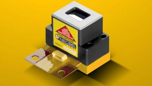
1W Output Power at 577nm - Yellow High Power Laser
23rd October 2018
1W Output Power at 577nm - Yellow High Power Laser
Schneider Electric Expands Electric, Gas And Water Features
23rd October 2018
Schneider Electric Expands Electric, Gas And Water Features
Bentley Systems Announces Winners of Year in Infrastructure 2018 Awards
23rd October 2018
Bentley Systems Announces Winners of Year in Infrastructure 2018 Awards