
4DMapper; the secret behind sharing geodata
15th August 2016
4DMapper; the secret behind sharing geodata15th August 2016
4DMapper; the secret behind sharing geodata12th August 2016
European Space Imaging announces new partnership with Vricon12th August 2016
Global Mapper Chosen for Coastal Mapping Project12th August 2016
PCI Geomatics Releases Geomatica 2016 Service Pack 1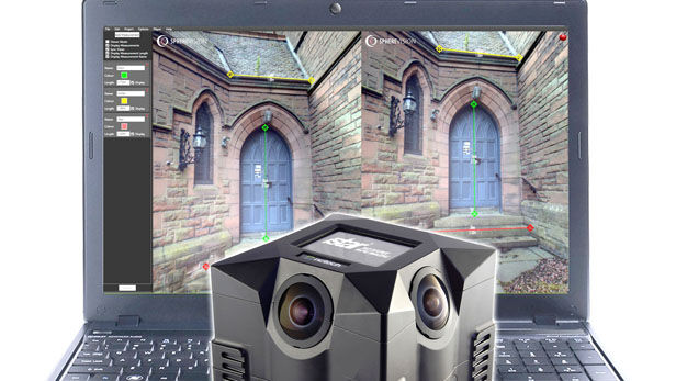
11th August 2016
New SphereVision 360 Imaging Software Integrates iSTAR Measurement Module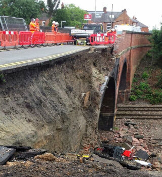
10th August 2016
Barrow Upon Soar Rail Closure Prompts Monitoring Calls2nd August 2016
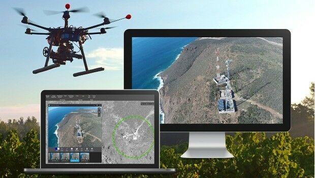
New senseFly financing and insurance packages for Drone operators2nd August 2016
The integrated management of municipal infrastructure_(1).jpg)
27th July 2016
Airbus Defence and Space Launches “One Tasking”27th July 2016
Esri Selected to Host Services for Michigan State-Wide Imagery Data20th July 2016
Airbus Defence and Space Launches “One Tasking”
8th July 2016
The Truth About Drones in Construction and Infrastructure Inspection8th July 2016
Vexcel Imaging and Orbit GT sign Reseller Agreement
5th July 2016
Leica Geosystems announces world’s first fused airborne sensor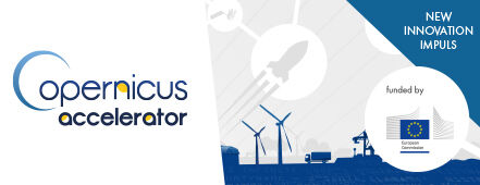
5th July 2016
European Commission Launches Copernicus Accelerator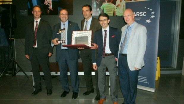

30th June 2016
EUMETSAT approves new Strategy of Meteosat-8 over the Indian Ocean22nd June 2016
Airbus Defense and Space and 3v Geomatics Partner for TerraSARX"22nd June 2016
Icaros Releases 4.2.2 of OneButton™ UAS Image Processing Software21st June 2016
Small Vessel Tracking Trials, a Success in South Africa21st June 2016
Cornerstone Mapping Processing Thermal Imagery with SimActive
20th June 2016
Shell Selects Globalstar Satellite Asset Tracking Solution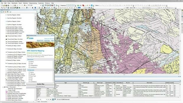
20th June 2016
CGG GeoConsulting introduces EARS BasinMap
16th June 2016
Leica Geosystems expands LiDAR capabilities in ALS80 airborne sensor16th June 2016
UAVAir calls businesses to take note of growing use of drones15th June 2016
Airbus D and S Recognised by Hexagon for Shaping Smart Change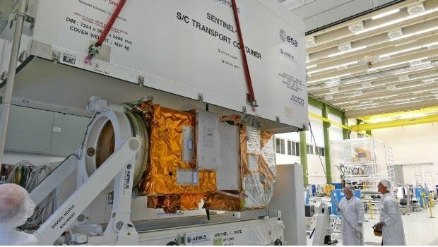
15th June 2016
Airbus Defence and Space completes second Copernicus "Eye"
14th June 2016
LuxCarta Announces Investment for its Growth Strategy13th June 2016
Aero Surveillance announces a new version of its Octocopter ASV 308th June 2016
What is the economic value of satellite Imagery?8th June 2016
Leica Geosystems releases new software capabilities6th June 2016
Airbus Defence and Space completed PerúSAT-1 in less than 24 months6th June 2016
Wanted: Mobile Apps to Handle Big Data from Space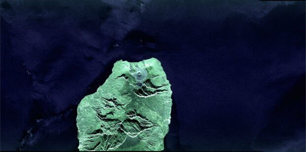
1st June 2016
First laser transmission of image taken by the Sentinel 1A satellite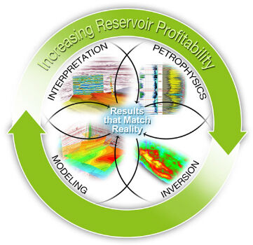
1st June 2016
CGG GeoSoftware Integrates Geoscience Disciplines
1st June 2016
Esri to Host Imaging and Mapping Forum at Esri User Conference1st June 2016
Learn to Start Working with ArcGIS Earth from Esri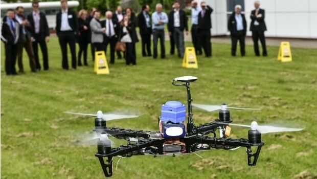
31st May 2016
World first: Galileo PRS signal accessed via the cloud28th May 2016
Learn How to Use ArcGIS Pro from Esri for Dynamic Image Processing27th May 2016
PCI Delivers High Volume Production System to Skymap Global Singapore