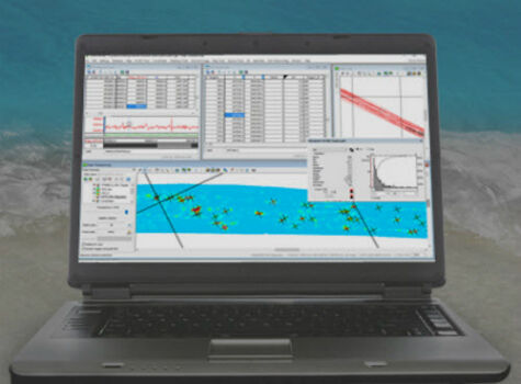
Geosoft presents Marine Geophysics Technology Showcase at Oceanology International North America
10th February 2017
Geosoft presents Marine Geophysics Technology Showcase at Oceanology International North America
10th February 2017
Geosoft presents Marine Geophysics Technology Showcase at Oceanology International North America
10th February 2017
Ocean Business 2017 to host co-located Maritime Dual-use Events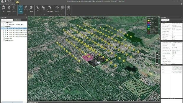
10th February 2017
Skyline Software Systems Releases PhotoMesh 7.110th February 2017
Charlotte Is Wired Into Emergency Tree Management
10th February 2017
Orbit GT releases Oblique Mapping and Feature Extraction v17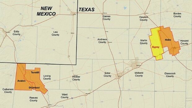
9th February 2017
CGG Delivers Final PreSTM Data for Hobo Multi-Client Survey
9th February 2017
GEO Business 2017 - Introducing GEO Careers
9th February 2017
Bluesky Wins Innovation Funding for Mobile Phone Mapping Project9th February 2017
Blue Marble's Latest Innovations in the Global Mapper LiDAR Module
8th February 2017
Commercial UAV Expo Europe Announces Early Backers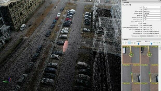
8th February 2017
Achieving best accuracy with error ellipsoid in Pix4Dmapper rayCloud8th February 2017
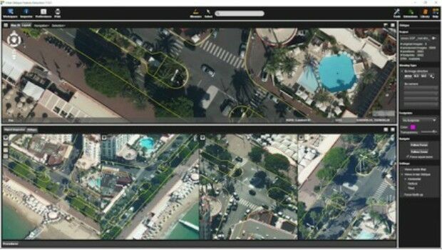
CSA Presents Advanced Coastal Aerial Image Analysis Techniques8th February 2017
TCarta Marine and Proteus Geo Announce Merger
8th February 2017
PCI Joins the Geological Remote Sensing Group

7th February 2017
Avenza Releases Geographic Imager 5.2 for Adobe Photoshop7th February 2017
Underground Infrastructure Data for phase 1 to be initiated6th February 2017
Orbit GT to announce disruptive 3D Mapping Cloud solution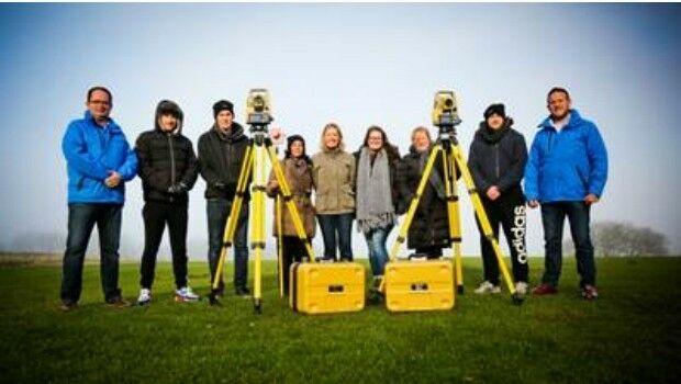
6th February 2017
Topcon helps COYO to inspire the next generation of land surveyors
6th February 2017
GAF AG and Partners to Investigate the Future Evolution of Copernicus
6th February 2017
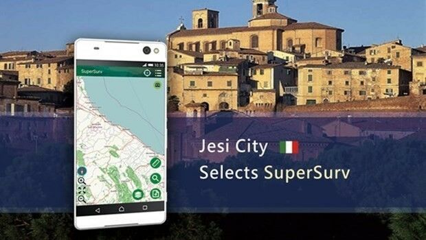
Jesi, Historic City in Italy Uses SuperSurv to Collect Spatial Data3rd February 2017
Planning and Design Solutions for Utilities jointly offered3rd February 2017
OGC seeks public comment on candidate GeoPackage 1.2 standard
2nd February 2017
Get Started Working with Configurable Apps from Esri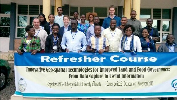
2nd February 2017
Rwanda forges forward in drone mapping use
2nd February 2017
Oncor Upgrades to Hexagon Safety & Infrastructure’s GIS2nd February 2017
CartoPac Adds iOS Support to Mobile Asset Management Software Suite
2nd February 2017
RGS-IBG and AGI announce strategic alliance
2nd February 2017
Leica Geosystems wins prestigious PRISM Award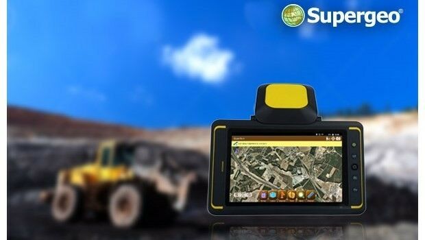
2nd February 2017
Indonesian Mining Company Adaro Selects SuperSurv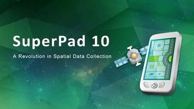
1st February 2017
Location Powers event scaling linked data to big data1st February 2017
Surrey Heath Council Explore the Versatility of the Arrow 100.1st February 2017
The Getech Group Brings Greater Insight to Myanmar’s Geology1st February 2017
AVANGRID Chooses Itron for Energy Smart Community in New York

1st February 2017
East View Expands South China Sea Imaging Capabilities
31st January 2017
New supported devices, flight missions, and mission settings31st January 2017
Esri Brings Operational Intelligence to 2017 DistribuTECH Conference31st January 2017
Blue Marble Teams Up with Pointerra to Provide Cloud-Based LiDAR Data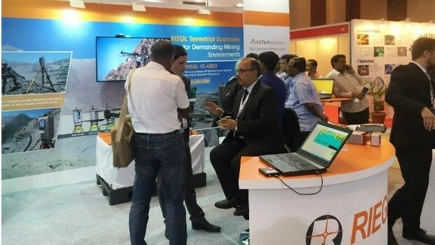
30th January 2017
RIEGL’s Notable Week at Geospatial World Forum 2017!