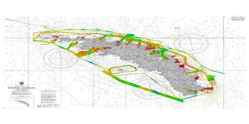
UKHO provides bathymetric surveys for the Seabed 2030 project
6th October 2022
UKHO provides bathymetric surveys for the Seabed 2030 project
6th October 2022
UKHO provides bathymetric surveys for the Seabed 2030 project

13th July 2022
Seabed 2030 Enters New Partnership with Terradepth in a Collaboration That Will Boost Project’s Crowdsourcing Initiatives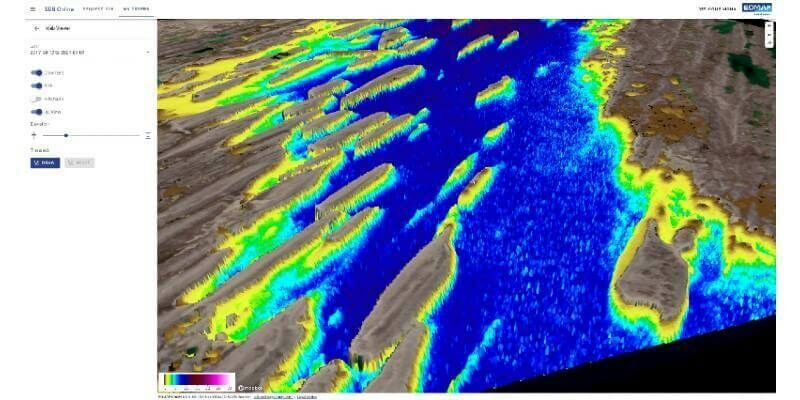
9th June 2022
EOMAP launches SDB-Online, the new WebApp for Satellite-Derived Bathymetry
7th June 2022
TCarta Opens Canadian Affiliate Office to Provide Hydrospatial Mapping Services Across Canada
1st June 2022
Leica Geosystems announces major performance increase in airborne bathymetric survey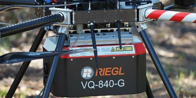
16th May 2022
Riegl Australia: Successful Integration Of The VQ-840-G Into Heavy-Lift Industrial Drone25th April 2022
Showing off at Oceanology International London 2022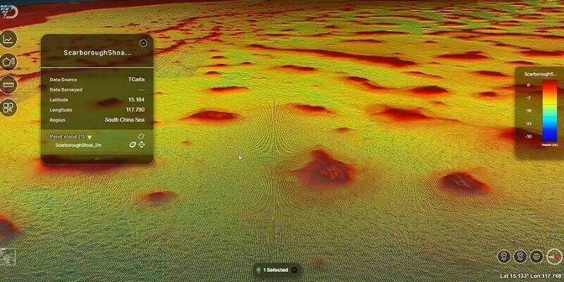
13th April 2022
TCarta to Showcase Satellite-Derived Bathymetric Products on Absolute Ocean Platform at GEOINT 2022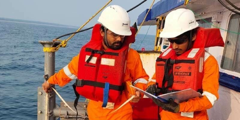
22nd March 2022
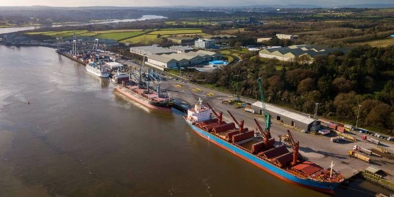
Fugro supports NIOT’s coastal community development plan with a large-scale bathymetry survey in India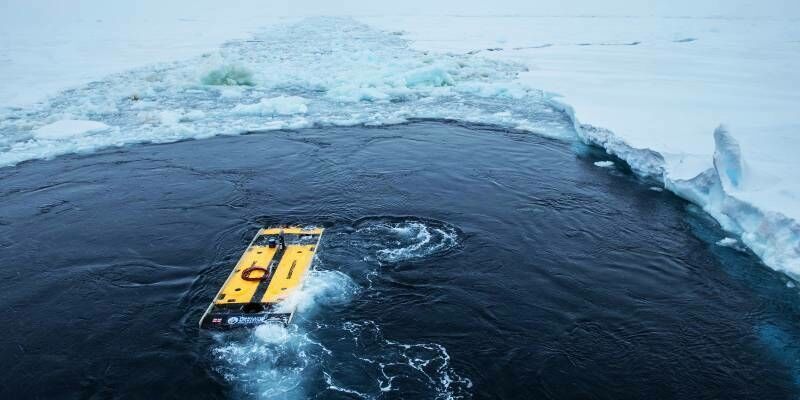
10th March 2022
Sonardyne navigation and positioning technology helps locate Shackleton’s historic Endurance
10th February 2022
EOMAP awarded new survey contract by UKHO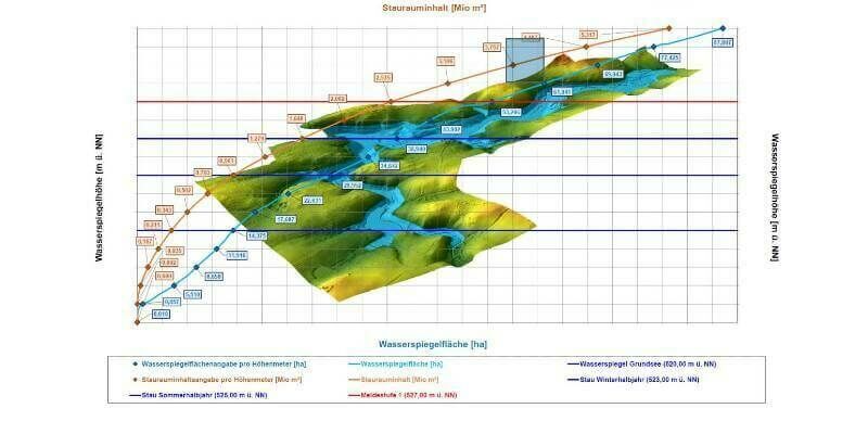
8th February 2022
High-precision 3D surveying of the Liebensteinspeicher reservoir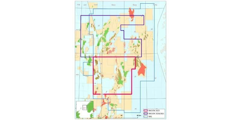
11th January 2022
CGG Confirms 2022 Phase Three of Northern Viking Graben Dual-Azimuth Multi-Client Survey
16th December 2021
Hexagon’s R-evolution expands its sustainability agenda to help protect coastal blue carbon ecosystems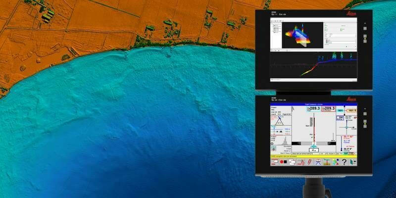
18th November 2021
Hexagon announces partnership with Airbus for near real-time airborne bathymetric LiDAR surveillance system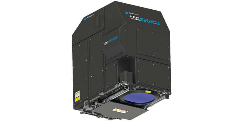
3rd June 2021
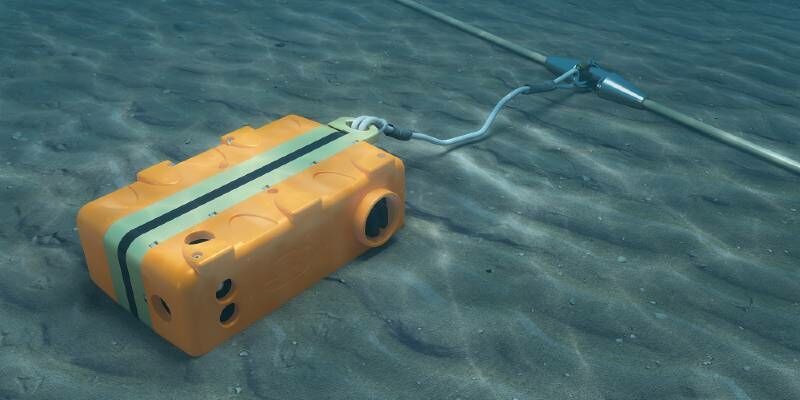
Sercel Launches GPR300 – a Seabed Nodal Solution for Shallow Waters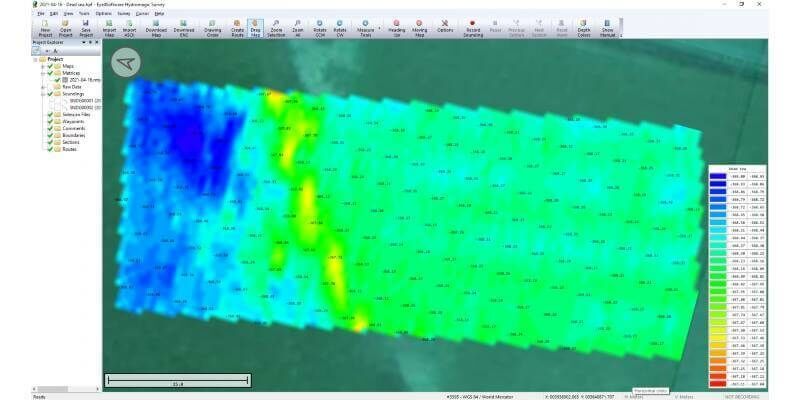
1st June 2021
Bathymetric surveys with a UAV and an echo sounder successfully conducted in Israel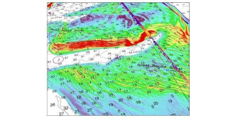
10th May 2021
TCarta Delivers Satellite-Derived Bathymetry to NOAA for U.S. Coastal Mapping Pilot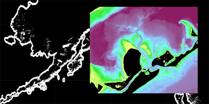
28th April 2021
TCarta Awarded NOAA Grant to Enhance Satellite Derived Bathymetry Technology in Alaskan Waters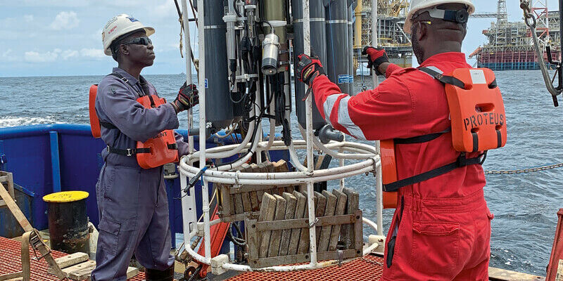
28th April 2021
TDI-Brooks International Completes Two EBS Program Offshore Angola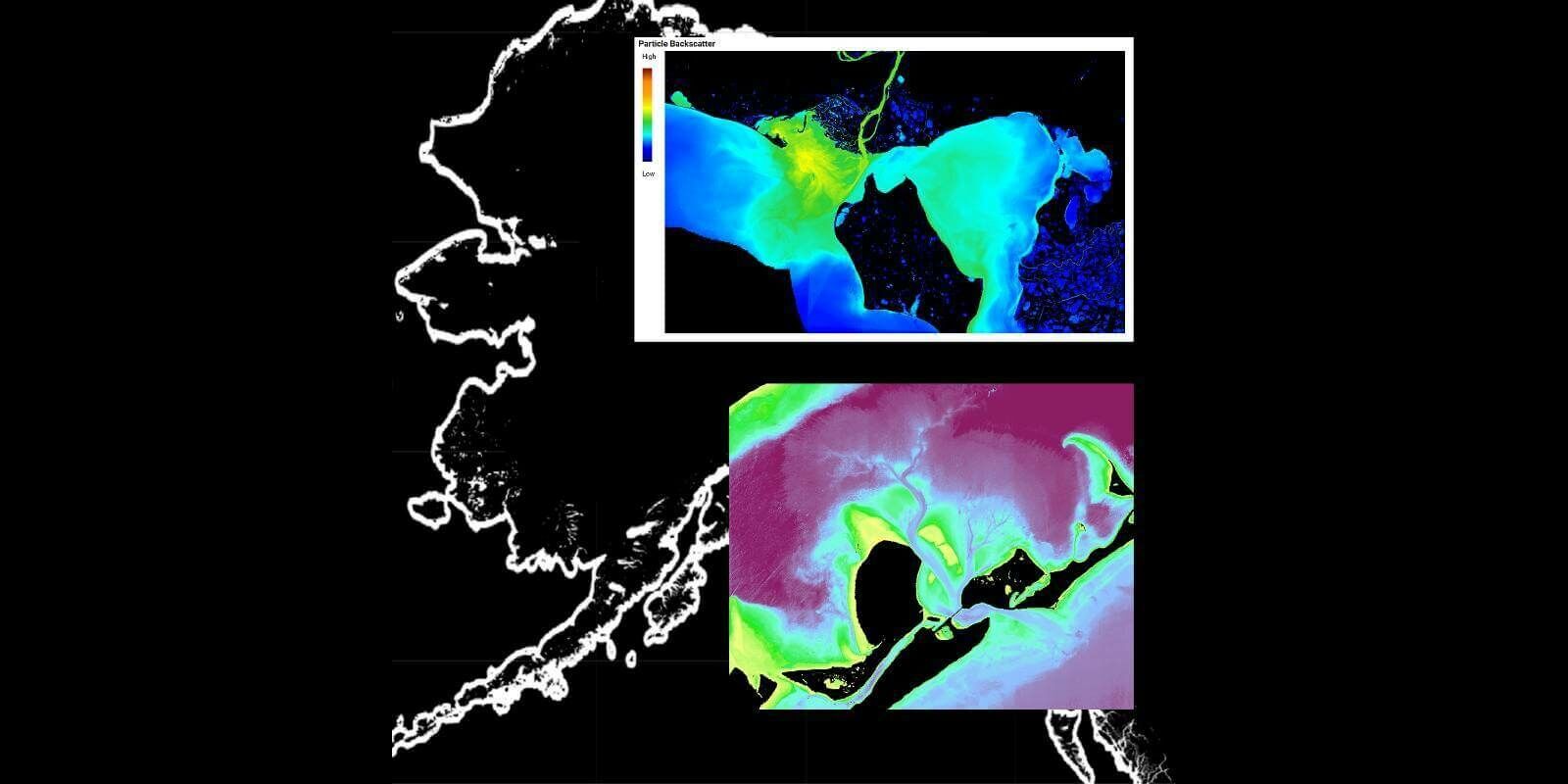
9th March 2021
TCarta Awarded NOAA Grant to Enhance Satellite Derived Bathymetry Technology in Alaskan Waters
7th March 2021
TDI-Brooks International Completes Two Ebs Program Offshore Angola
4th March 2021
Recordings are Now Available for the RIEGL Ultimate LiDAR February Webinar Series

9th February 2021
Riegl’s Ultimate Lidar Webinar Series: February 2021
27th January 2021
New version of European Bathymetry Digital Terrain Model
14th January 2021
TCarta Develops AI-Based Commercial Bathymetric Mapping Technologies with National Science Foundation Grant
14th January 2021
Cyprus Subsea and Subsea Europe Services collaborate to create combined Hydrography and Oceanography portfolio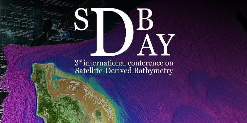
9th December 2020
Marine stakeholders will meet for the third year in a row to share experiences, tools and advances in mapping shallow water topography from space
29th October 2020
TDI-Brooks International Completes EBS Program Offshore Ivory Coast

29th October 2020
iXblue builds capacity for simultaneous operations on either side of the Tasman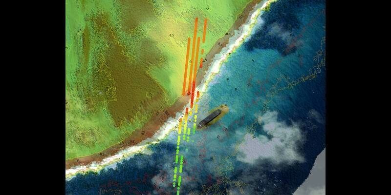
28th October 2020
TCarta Develops AI-Based Commercial Bathymetric Mapping Technologies with National Science Foundation Grant
4th October 2020
iXblue builds capacity for simultaneous operations on either side of the Tasman

11th August 2020
TDI-Brooks Maps the Liberty Ship Reef Site George Vancouver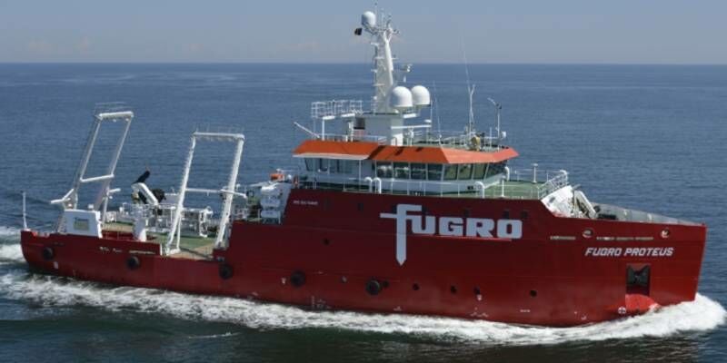
24th July 2020
Fugro completes Phase 1 of site investigation contract for Qatargas North Field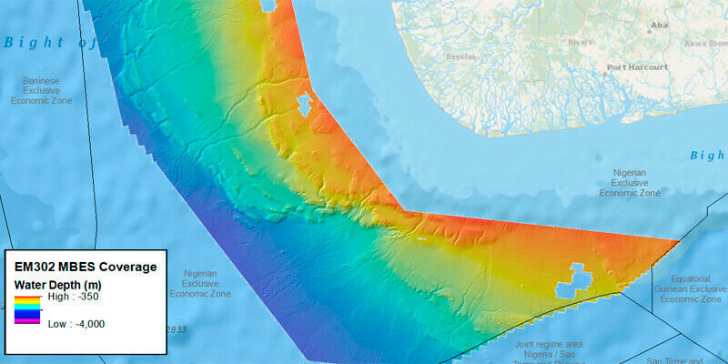
1st July 2020
TDI-BROOKS COMPLETES MULTIBEAM PHASE FOR TGS OFFSHORE NIGERIA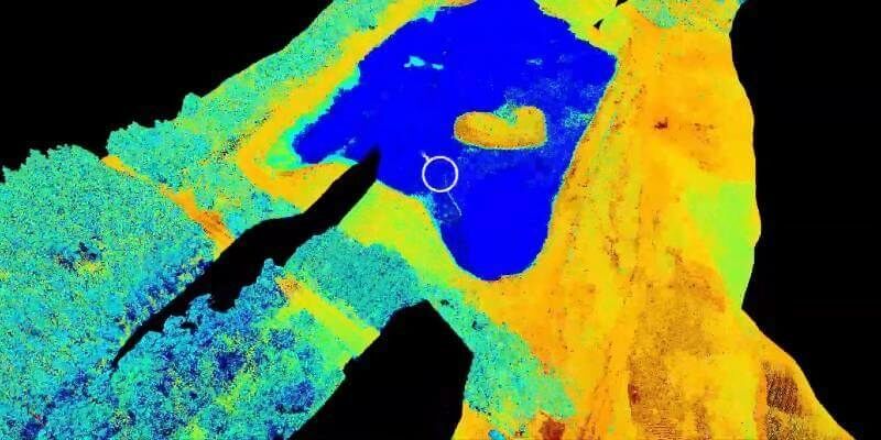
23rd June 2020
New Riegl Bathymetry Scanner Videos (In Spanish And Portuguese)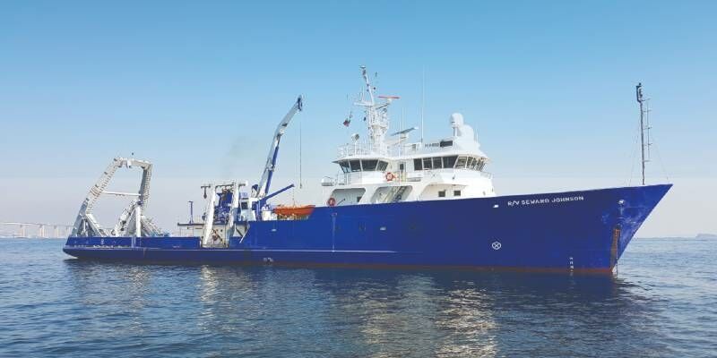
8th June 2020
Sonardyne positioning systems chosen for Brazilian geoscience research vessels
28th May 2020
Spie Defense + Commercial Sensing Digital Forum 2020: Riegl’s Scientific Presentations Now Online
27th May 2020
Teledyne CARIS appoints new sales manager for the US