Share
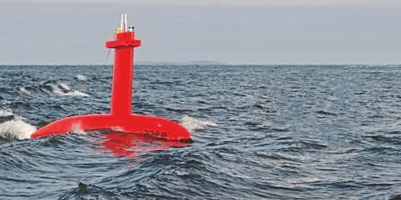
iXblue announced the award of two significant hydrographic charting projects this month. The projects were awarded by the Australian Government Department of Defence and Land Information New Zealand (LINZ) under their respective annual survey and charting programs. Despite the challenges posed by the COVID19 pandemic this year, iXblue will be exercising new in-house capabilities to undertake both major projects simultaneously. The LINZ project, part of iXblue’s program on the Hydrographic Suppliers Panel, will see nearly 2,000 linear nautical miles of high resolution bathymetry data collected in coastal waters off the Coromandel Peninsula – a highly trafficked waterway on the east coast of the North Island. To complete this project, iXblue will employ a 32-metre mothership and the 8-metre DriX – iXblue’s specialist Uncrewed Surface Vessel (USV). www.ixblue.com


