
September/October 2015 UK Issue
Content


OGC seeks sponsors for FutureCities Pilot
25th August 2015
OGC seeks sponsors for FutureCities Pilot


Intelligent Telematics launches Mobile App to Access Crash Footage
25th August 2015
Intelligent Telematics launches Mobile App to Access Crash Footage
ENVITIA to deliver Defence Geospatial Services to the UK MOD
25th August 2015
ENVITIA to deliver Defence Geospatial Services to the UK MOD
Keynetix and BGS to develop BIM for the subsurface
25th August 2015
Keynetix and BGS to develop BIM for the subsurface
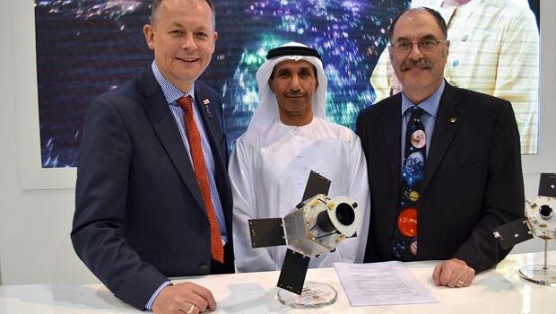
SSTL celebrates 30 Years of Space Innovation
25th August 2015
SSTL celebrates 30 Years of Space Innovation

Rezatec’s peatland Earth Observation satellite techniques assist Scottish Water
25th August 2015
Rezatec’s peatland Earth Observation satellite techniques assist Scottish Water
ABPmer develops good practice for Scottish shellfish aquaculture planning
25th August 2015
ABPmer develops good practice for Scottish shellfish aquaculture planning
OS Partners with Abu Dhabi Environment Agency with new GIS Roadmap
25th August 2015
OS Partners with Abu Dhabi Environment Agency with new GIS Roadmap
Landmark awarded OS contract to maintain MasterMap® digital mapping database
25th August 2015
Landmark awarded OS contract to maintain MasterMap® digital mapping database


Archive