Share
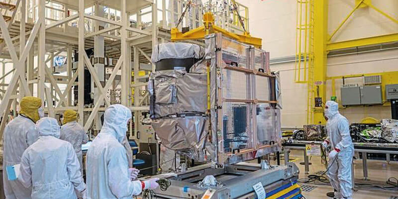
The fourth Advanced Baseline Imager (ABI) built by L3Harris Technologies has been successfully integrated into NOAA’s Geostationary Operational Environmental Satellite-U (GOES-U), completing the series of advanced weather sensors for the GOES program, slated to launch in 2024. The ABIs onboard the GOES series of satellites provide revolutionary technology by advancing weather observation and environmental monitoring services, and also by providing more advanced notice of fires, hurricanes, tornadoes and floods. The ABI provides high-resolution video of weather and environmental systems using 16 spectral bands delivering three times the amount of spectral coverage, four times the resolution and five times faster than the previous generation of GOES satellites. www.l3harris.com


