Share
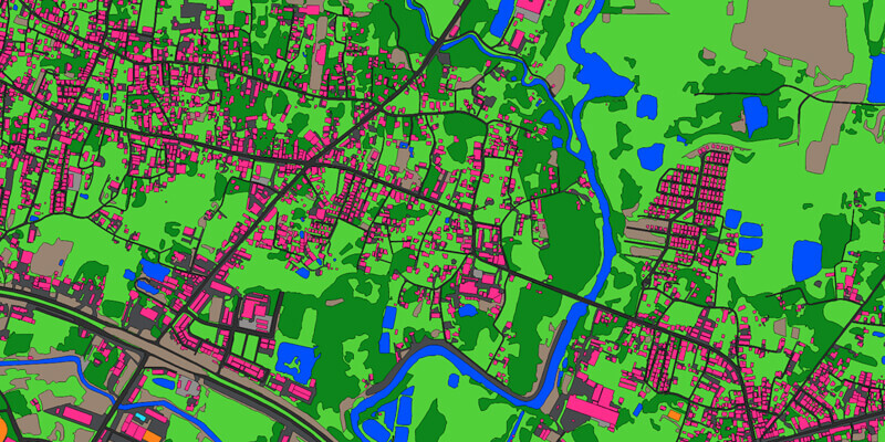
Ecopia AI (“Ecopia”) announced a partnership with Airbus to produce next-generation digital maps on a global scale—including land use/land cover, roads, and building footprint data. This digital mapping solution will provide commercial and government users with an accurate and up-to-date digital representation of their areas of interest, driving better decision making across industries. Under the agreement, Ecopia will have access to Airbus’ global premium 50cm high-resolution imagery database, applying their artificial intelligence-based systems to extract vector maps on a city to continental scale -- with the accuracy of a GIS professional. These vector maps known as Ecopia Vector Maps will be available within the Airbus OneAtlas Platform and upon request, and can be ordered for any location across the globe, empowering users with precise insights in just a few clicks. www.ecopia.ai


