Share
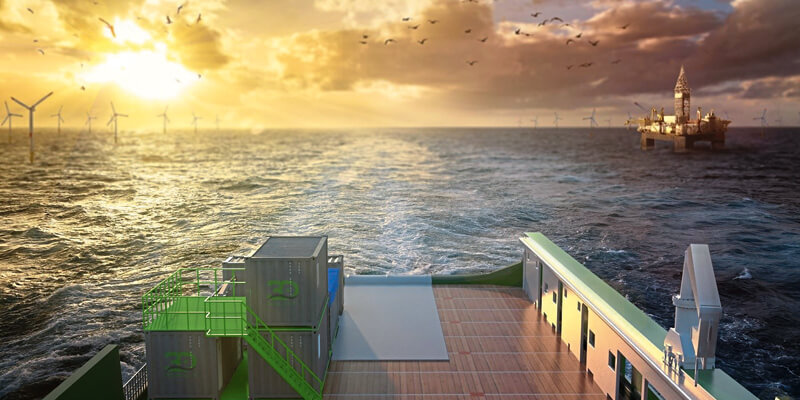
3D at Depth, an expert in commercial Subsea LiDAR (SL) laser technology, and provider of underwater survey services and 3D data solutions, announced the launch of its offshore Geophysical Survey Services division. The new division will provide optimized surveys to support both nearshore, inshore, and offshore deep-water development activities focused in the areas of offshore wind farms, pipeline routes, environmental site surveys, offshore hydrocarbon projects, and civil engineering surveys. 3D at Depth first commercialized Subsea LiDAR (SL) technology for the offshore industry in 2014. The Company focus has always been on 3D data excellence through innovative technology solutions that enable cost savings across any survey initiative without sacrificing data quality. www.3datdepth.com


