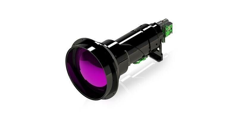
Teledyne FLIR OEM Expands Neutrino ISR Series with Longest-Range SX8 ISR 50-1000 Model
13th February 2026
Teledyne FLIR OEM Expands Neutrino ISR Series with Longest-Range SX8 ISR 50-1000 ModelNews as it happens! Keep in touch with the latest developments in business and technology in the regions or worldwide.
13th February 2026
Teledyne FLIR OEM Expands Neutrino ISR Series with Longest-Range SX8 ISR 50-1000 Model
13th February 2026
GMV Leads the EU’s GOVSATCOM Hub to Strengthen European Union Autonomy in Satellite Communications
10th February 2026
Large-Scale Aerial Mapping: How Do You Make It Work?
10th February 2026
Aerial Surveys International Teams with Polygon Solutions, Urban Hawk at Geo Week 2026 to Unveil TrinityGeo Geospatial Intelligence Product
6th February 2026
Energy land and consents specialists strengthen teams with internal promotions
6th February 2026
Alabama Department of Transportation Enhances Performance-Based Budgeting with Bentley Systems’ AI-Powered Blyncsy Solution
5th February 2026
Space-Comm Confirms Plans For Europe’s Most Influential Space Industry Event
5th February 2026
Hexagon | NovAtel launches new firmware with groundbreaking advancements in GNSS reliability for challenging environments
4th February 2026
A new benchmark – sub-centimeter aerial mapping at aircraft speeds without compromises
4th February 2026
Tracker Innovation From Queclink To Boost Stolen Vehicle Recovery Performance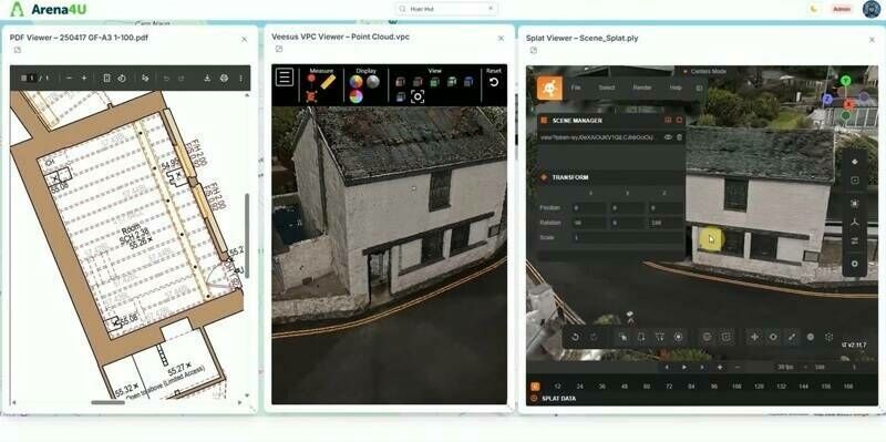
3rd February 2026
New Platform from Veesus enhances Data Management, Sharing, and Collaboration
3rd February 2026
Mapping The Foundations Of Britain’s Future Infrastructure
2nd February 2026
New distributor extends network into South Korea
2nd February 2026
Advanced Navigation Appoints Chief Technology Officer to Drive Breakthroughs in Deep-Tech Autonomy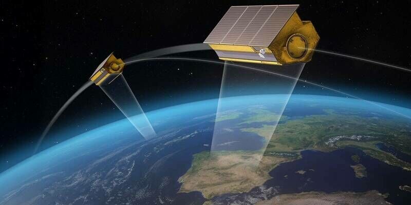
2nd February 2026
Airbus and Hisdesat sign a commercialisation agreement for PAZ-2 satellite imagery
30th January 2026
UAVOS Introduces Stratospheric Earth Observation Payload Following Successful Flight Tests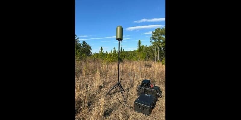
30th January 2026
Metis launches Skyperion Lightweight – mobile C-UAS detect, track and identify
29th January 2026
Next-gen Leica CityMapper-3 increases efficiency for airborne urban and regional mapping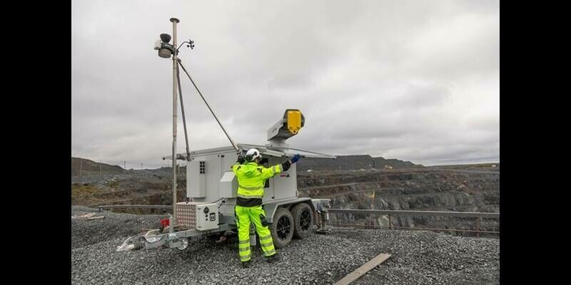
29th January 2026
IDS GeoRadar launches ArcSAR Neo to strengthen slope-risk management and mine safety
28th January 2026
Terra Drone partners with Pythagoras to launch “Terra 3D CAD”
28th January 2026
Eos Positioning Systems Launches “Eos MDM Configurator” Web Tool to Streamline Deployments with MDMs
27th January 2026
Europe’s first meteorological infrared sounder reveals the atmosphere in 3D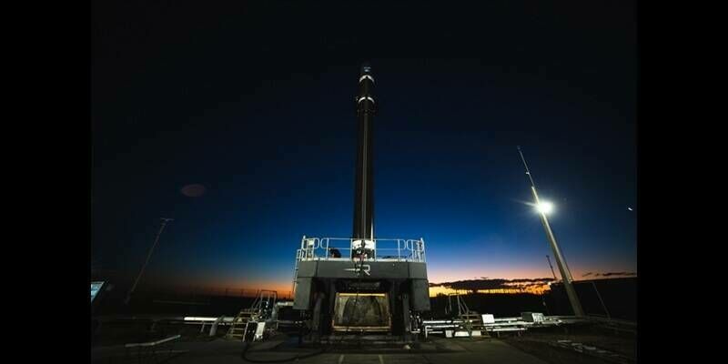
26th January 2026
Open Cosmos Takes First Major Step Towards Its Low Earth Orbit Constellation With Landmark Satellite Launch
26th January 2026
A New Era Unfolds: FARO and Creaform Combine to Form Two New Business Units