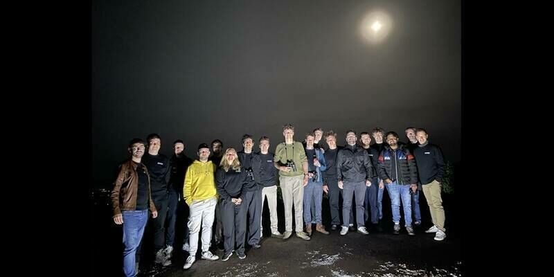
EDGX launches first in-orbit demonstration of its AI computing system on SpaceX Transporter-16
14th April 2026
EDGX launches first in-orbit demonstration of its AI computing system on SpaceX Transporter-16News as it happens! Keep in touch with the latest developments in business and technology in the regions or worldwide.
14th April 2026
EDGX launches first in-orbit demonstration of its AI computing system on SpaceX Transporter-16
14th April 2026
SimActive Releases Correlator3D Version 11 with Gaussian Splatting
13th April 2026
GMV's Celeste IOD-1 satellite successfully transmits first navigation signal
13th April 2026
Spaceflux Selected by MDA Space to Deliver Optical Systems for Canadian Space Surveillance Programme
10th April 2026
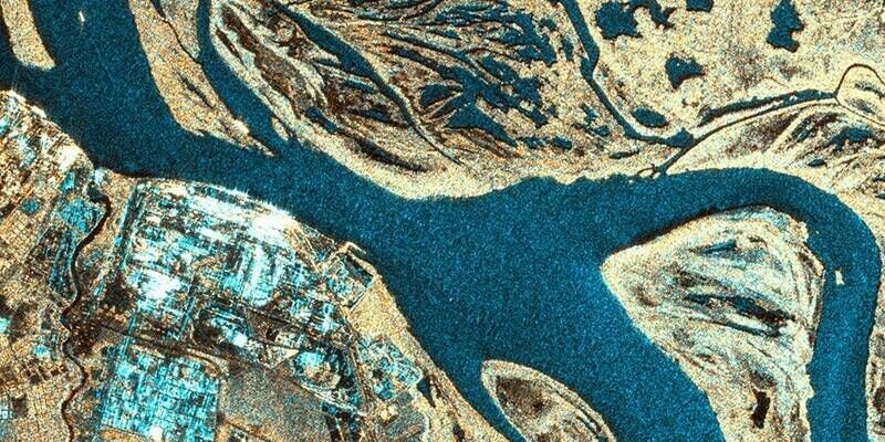
e-GEOS and VENG enter into a New Agreement for the Global Distribution of SAOCOM Satellite Data
9th April 2026
HawkEye 360 Announces Advisory Board Class of 2026
9th April 2026
Major LiDAR Survey Completed at Elland Road Stadium to Support Redevelopment
8th April 2026
Blue Marble Geographics and Avenza Systems Unite to Bring Together Complementary Products in a Field to Office Geospatial Platform
8th April 2026
Astroscale Reveals World’s First Commercial Multi-Orbit Satellite Inspection Mission
6th April 2026
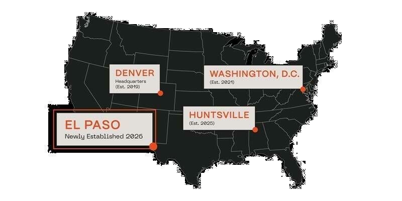
Astroscale U.S. Expands into Texas Space Ecosystem in Collaboration with UTEP and City of El Paso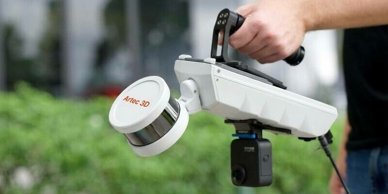
6th April 2026
Artec 3D launches Artec Jet: a survey-grade mobile LiDAR scanner with SLAM for fast, autonomous, site-scale 3D mapping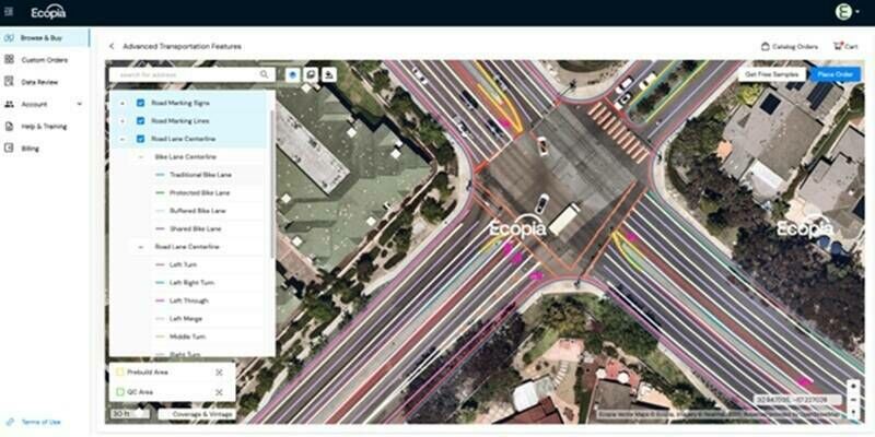
6th April 2026
Ecopia Launches Self-Serve Platform for High-Precision Geospatial Data Downloads
2nd April 2026
Octave launches Alto 2026.0 (formerly Luciad), featuring breakthrough cyberthreat visualization capabilities for defense
2nd April 2026
Astroscale and Exotrail Advance France-Japan Cooperation on Space Sustainability
30th March 2026
Mainz Implements Fully Cloud-Based Geospatial Data Infrastructure with VertiGIS and Esri
30th March 2026
GMV’s IOD-1 satellite, part of ESA Celeste mission, successfully launched from New Zealand
27th March 2026
Fugro deploys amphibious buggy to support investigations for new Danish motorway link
27th March 2026
Danish Portuguese cooperation is scaling the future of drone surveillance and warfare
26th March 2026
e-GEOS will perform the satellite mapping of asbestos in Italy
26th March 2026
Septentrio extends its boxed receiver range with AsteRx EB
25th March 2026
Kongsberg Discovery and Fugro consolidate partnership with Main Supplier agreement
25th March 2026
Innovative comms system will save vital time in multi-agency emergency responses