Topcon invests in the future of construction with donation to TU Dublin
7th November 2022
Topcon invests in the future of construction with donation to TU DublinNews as it happens! Keep in touch with the latest developments in business and technology in the regions or worldwide.
7th November 2022
Topcon invests in the future of construction with donation to TU Dublin4th November 2022
Mobile LiDAR’s role in bringing ‘Industry 4.0’ to Norwegian forestry
4th November 2022
Eos Positioning Systems Receives Customer Success and Collaboration Award at Esri Infrastructure Management and GIS Conference
4th November 2022
Hexagon to update aerial data of eight U.S. states at six-inch resolution in 2023 for the HxGN Content Program3rd November 2022
Fugro opens state-of-the-art space control centre SpAARC in Perth, Australia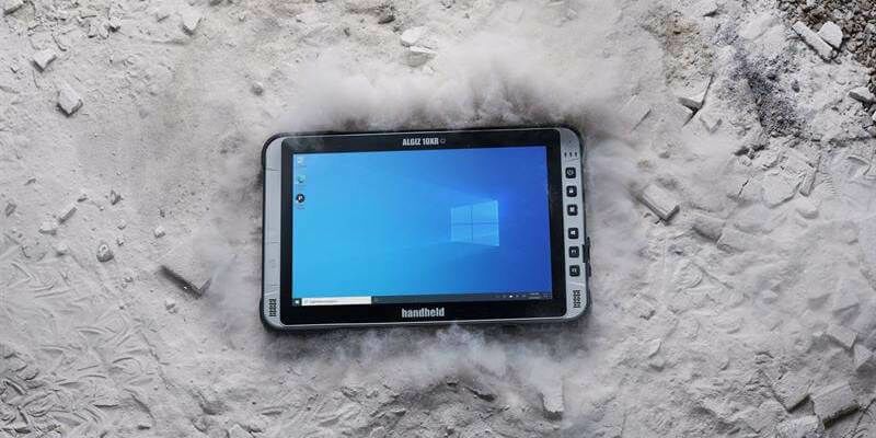
3rd November 2022
Handheld launches new ultra-rugged 10-inch Windows tablet with 5G
3rd November 2022
1Spatial Launches the Most Disruptive Traffic Management Planning Solution in 30 Years
3rd November 2022
u-blox ZED-F9K high-precision GNSS module to enhance assisted driving in Li Auto’s new Li L9
31st October 2022
AgEagle’s eBee X Series Drones Are the First and Only UAVs to be Approved by the FAA for Operations Over People (OOP) in the United States28th October 2022
Fleet of London electric buses rapidly charged by world-first technology – Hexagon comments28th October 2022
The New VXintegrity software platform: Surface Damage Assessment Modernized27th October 2022
Hexagon unveils new releases of its Intergraph Smart 3D, CADWorx and CAESAR II software for better, safer, and more sustainable industrial facilities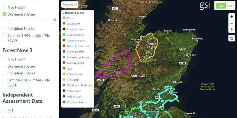
26th October 2022
GSI Secures Investment To Accelerate Growth In Core Markets
26th October 2022
Silicon Sensing brings latest inertial technology to Space Tech Expo, Europe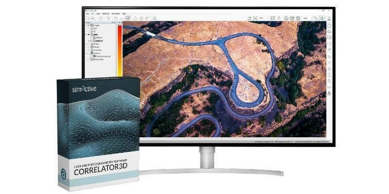
26th October 2022
Malaysian Government's JUPEM Selects SimActive's Correlator3D Software for Data Processing25th October 2022
The final two Pléiades Neo satellites arrive in Kourou for launch
25th October 2022
Leica AP20 AutoPole wins Wichmann Innovations Award at INTERGEO 202224th October 2022
Prometheus-2 Cubesats Arrive At Spaceport Cornwall24th October 2022
Topcon set to feature latest technologies at Bauma in Munich21st October 2022
Hexagon adds AI capabilities to power real-time crime and operations centers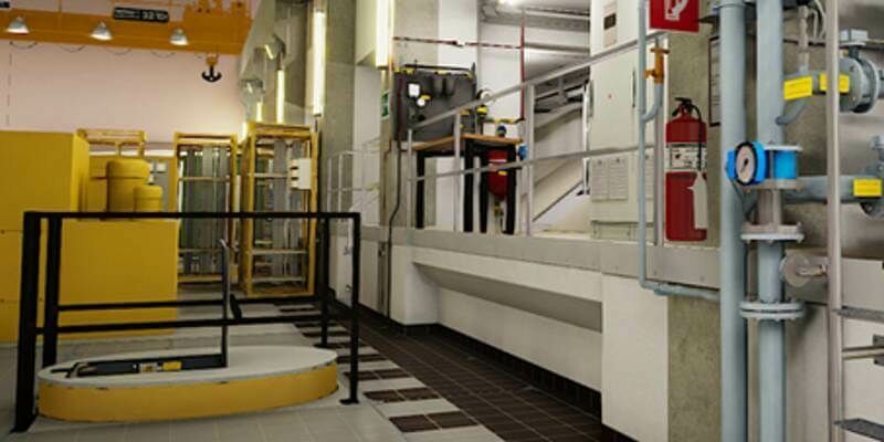
21st October 2022
Hexagon and LocLab announce strategic partnership to accelerate the adoption of Smart Digital Realities in transportation, construction and urban planning