The Excellent Helper for Processing Spatial Data—SuperGIS Desktop
13th January 2017
The Excellent Helper for Processing Spatial Data—SuperGIS DesktopNews as it happens! Keep in touch with the latest developments in business and technology in the regions or worldwide.
13th January 2017
The Excellent Helper for Processing Spatial Data—SuperGIS Desktop13th January 2017
Esri Takes the Stage at the NRF Convention12th January 2017
CGG GeoSoftware donates HampsonRussell software12th January 2017
International LiDAR Mapping Forum 2017 Keynotes Announced12th January 2017
Airbus sells its shares in Atlas Elektronik12th January 2017
Caltrans Takes Delivery of the RIEGL VMX-1HA12th January 2017
Airbus Launches “Enter the SpaceDataHighway” Challenge11th January 2017
Launching Future Drainage & Stormwater Networks KSA Seminar11th January 2017
Yotta: New Business Development Managers for Australia and New Zealand11th January 2017
Training & Demonstration Programme at the Heart of Ocean Business 2017.jpg)
11th January 2017
Conversion Drone Training for EuroUSC Students on BNUC-S Course11th January 2017
Lovell Johns, Showcase 50 Years of Expertise with New Website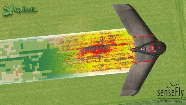
11th January 2017
Faster, more accurate GPS/GNSS receiver validation now possible11th January 2017
Collaboration with Deimos Imaging to Support the PanGeo Alliance11th January 2017
Garmin announces new 2017 classroom pilot training classes11th January 2017
Certificate of Networthiness for GeoExpress and Express Server Software10th January 2017
OceanWise and IMarEST to run Marine Data Management Awareness Course10th January 2017
The FME World Tour is Coming to the UK, Australia & Singapore in 201710th January 2017
Dreams Improves On Site Customer Experience With Flexipod
10th January 2017
EarthSense Systems Gains from UK Space Agency Support