Latest Job from British Geological Survey
3rd January 2017
Latest Job from British Geological SurveyNews as it happens! Keep in touch with the latest developments in business and technology in the regions or worldwide.
3rd January 2017
Latest Job from British Geological Survey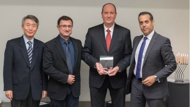
29th December 2016
HERE and Mobileye enter into partnership29th December 2016
Seven Organizations Receive Cityworks Exemplary User Award28th December 2016
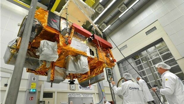
Collaboration on Miniature Hyperspectral Ultraspectral Camera System27th December 2016
NavInfo, Tencent and GIC to invest in HERE27th December 2016
OGC Calls for Participation in its Indian Interoperability Plugfest
23rd December 2016
DigitalGlobe Releases “20 Iconic Satellite Images from 2016” Gallery23rd December 2016
Cityworks Conference Helps Build Solutions for Your Organization22nd December 2016
Hemisphere GNSS Announces Management Changes22nd December 2016
exactEarth Awarded Project with UK Space Agency22nd December 2016
Accurate satellite navigation as EU project Galileo goes live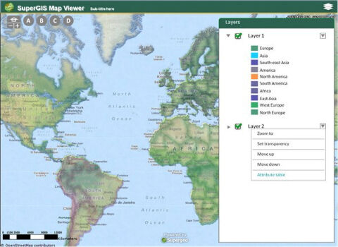
22nd December 2016
The Best Choice of Central GIS for Enterprises- SuperGIS Server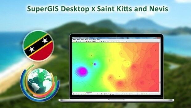
22nd December 2016
SuperGIS Desktop helps the Farmers in Saint Kitts and Nevis
22nd December 2016
The Excellent Mobile GIS App - SuperSurv 10 Is Coming Soon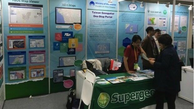
22nd December 2016
Supergeo Showcased the Latest GIS Products and Solutions in GSDI 15
22nd December 2016
The first offshore exhibition at the Maritime Museum Rotterdam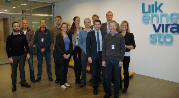
21st December 2016
The Finnish Transport Agency chooses Teledyne CARIS21st December 2016
Advanced Distribution Management System for Electric Utility Companies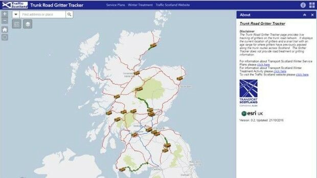
21st December 2016
Gritter Tracker coming to the rescue for snowed-in Scots21st December 2016
exactEarth to Provide India's Navy with Satellite AIS