News
News as it happens! Keep in touch with the latest developments in business and technology in the regions or worldwide.
Zero-Coding Web GIS Designer - SuperGIS Web Mapper Update
22nd February 2018
Zero-Coding Web GIS Designer - SuperGIS Web Mapper Update

GeoSLAM to Demo Time & Cost Saving 3D Mobile Laser Scanners
21st February 2018
GeoSLAM to Demo Time & Cost Saving 3D Mobile Laser Scanners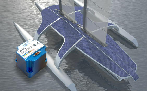
Autopilot for the Mayflower Autonomous Ship equiped
20th February 2018
Autopilot for the Mayflower Autonomous Ship equiped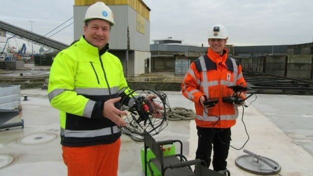
Class approval for Drone inspection of confined spaces for RIMS
20th February 2018
Class approval for Drone inspection of confined spaces for RIMS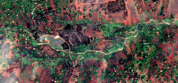
Earth-i receives £2.7 million from UK Government to improve crop yield
20th February 2018
Earth-i receives £2.7 million from UK Government to improve crop yield
Professor Joe Smith: new Director of Royal Geographical Society
20th February 2018
Professor Joe Smith: new Director of Royal Geographical Society
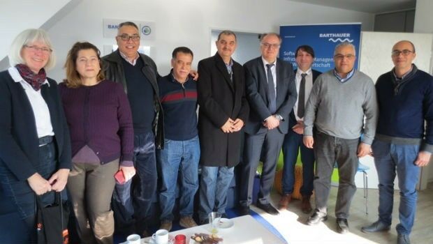
BARTHAUER and the city of Sousse: joined by shared roots
16th February 2018
BARTHAUER and the city of Sousse: joined by shared rootsNew CGG GeoSoftware Technology Drives Greater E&P Efficiency
16th February 2018
New CGG GeoSoftware Technology Drives Greater E&P Efficiency
OGC seeks public comment on Web Coverage Service (WCS)
16th February 2018
OGC seeks public comment on Web Coverage Service (WCS)
Elbit Systems Features Advanced Capabilities for Air Warfare
16th February 2018
Elbit Systems Features Advanced Capabilities for Air Warfare
Leading an Earth Observation project to predict dengue fever outbreaks
16th February 2018
Leading an Earth Observation project to predict dengue fever outbreaks
AND signs map license agreement with Mapbox
16th February 2018
AND signs map license agreement with Mapbox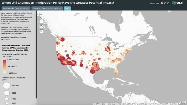
Esri Story Map Explores Communities Impacted by Immigration Changes
15th February 2018
Esri Story Map Explores Communities Impacted by Immigration Changes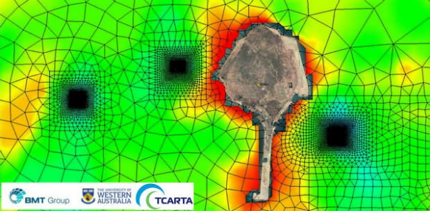
Satellite Derived Bathymetry from TCarta Plays Key Role in Aquaculture
15th February 2018
Satellite Derived Bathymetry from TCarta Plays Key Role in Aquaculture
Pitney Bowes Simplifies and Accelerates Data Accessibility
15th February 2018
Pitney Bowes Simplifies and Accelerates Data Accessibility
United States Air Force selects Garmin® D2 Charlie aviator watch
15th February 2018
United States Air Force selects Garmin® D2 Charlie aviator watch
Rezatec announces completion of £2m financing
14th February 2018
Rezatec announces completion of £2m financing
Microsoft and Ordnance Survey join forces
14th February 2018
Microsoft and Ordnance Survey join forces
Global Mapper v19.1 Now Available with New Features
14th February 2018
Global Mapper v19.1 Now Available with New Features