
PCI Geomatics Releases GXL 2017, Service Pack 1
2nd February 2018
PCI Geomatics Releases GXL 2017, Service Pack 1News as it happens! Keep in touch with the latest developments in business and technology in the regions or worldwide.
2nd February 2018
PCI Geomatics Releases GXL 2017, Service Pack 1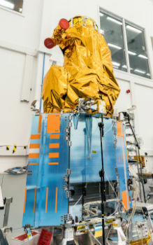
2nd February 2018
SSTL and 21AT announce new Earth Observation Capacity Contract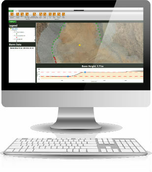
2nd February 2018
3D Laser Mapping releases real-time automated mine monitoring solutions2nd February 2018
Blue Marble to Showcase Global Mapper's Pixels-to-Points™ Tool
2nd February 2018
URISA Announces 2018-2019 Vanguard Cabinet of Young Professionals.jpg)
2nd February 2018
3D at Depth Completes 300 Offshore LiDAR Metrologies2nd February 2018
U.S. Customs and Border Protection Certifies Elbit Systems of America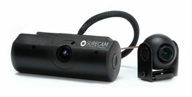
1st February 2018
Intelligent Telematics Opens New European Headquarters In Reading
1st February 2018
RIEGL Wins a Prestigious MAPPS Geospatial Excellence Award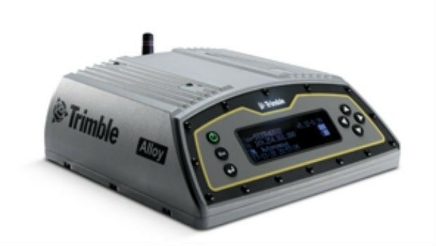
1st February 2018
Alloy ushers in the future of GNSS reference receivers
1st February 2018
Reach for the stars with Drone Major Group
1st February 2018
National flood map provides future climate change flood scenarios
1st February 2018
EarthSense Systems Appoints Thomas Hall as Managing Director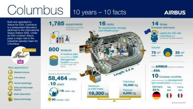
31st January 2018
Columbus: 10 years in Space, close to 60,000 Earth orbits
31st January 2018
New noise maps created for the German Federal Railway Authority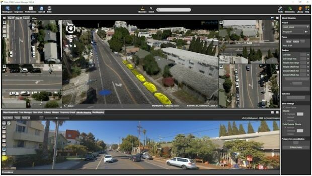
31st January 2018
Orbit GT releases 3D Mapping Content Manager v18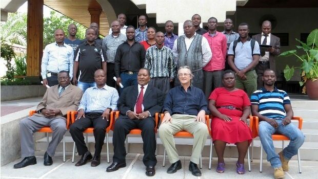
31st January 2018
GDMIS System for Ministry of Natural Resources in Malawi31st January 2018
Boundless Launches Scalable Geospatial Server for the Enterprise
31st January 2018
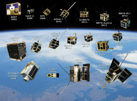
Space Flight Laboratory Highlights 20 Years of Microspace Achievements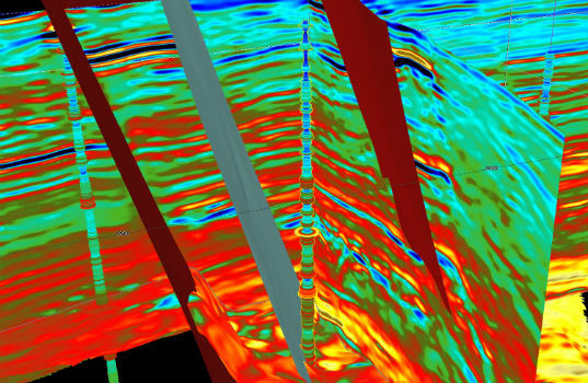
31st January 2018
CGG GeoSoftware Donates Jason Reservoir Characterization Software31st January 2018
Bluesky Aerial Photomaps Help Monitor Coastal Erosion
30th January 2018
Kinesis Keeps Snowboarder Zoe Gillings-Brier on Track for Winter Olympic Success30th January 2018
L&M Surveys (UK) purchase 22 HDR Camera Systems for VR Capturing