
Seyond Showcases LiDAR Sensor Fusion at the ADAS & Autonomous Vehicle Technology Expo 2025 in Stuttgart
22nd May 2025
Seyond Showcases LiDAR Sensor Fusion at the ADAS & Autonomous Vehicle Technology Expo 2025 in StuttgartNews as it happens! Keep in touch with the latest developments in business and technology in the regions or worldwide.
22nd May 2025
Seyond Showcases LiDAR Sensor Fusion at the ADAS & Autonomous Vehicle Technology Expo 2025 in Stuttgart
22nd May 2025
GAF AG Awarded ESA-Funded WorldForest Project to Drive Innovation in Sustainable Forest Management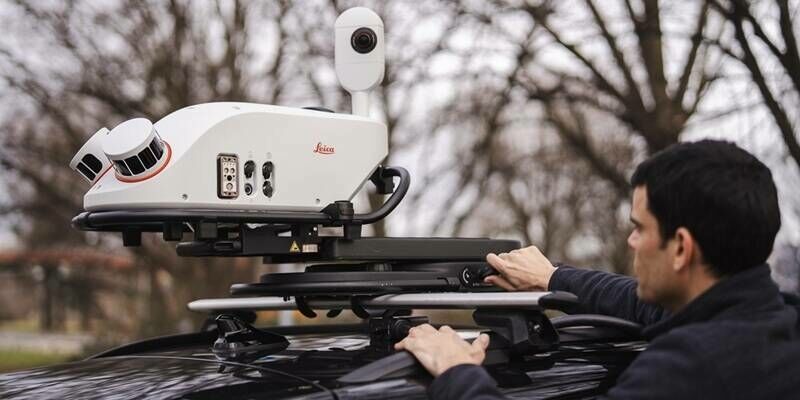
21st May 2025
New Leica Pegasus TRK300 opens up advanced mobile mapping to wider range of users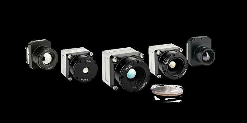
21st May 2025
Dragoon Selects Teledyne FLIR OEM Prism Software for Long-Range Unmanned Platform Prototyping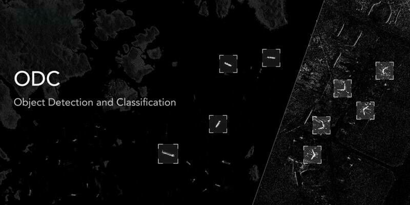
20th May 2025
Synspective and SATIM Launch Object Detection and Classification (ODC) Solution
20th May 2025
GeoTerra Selects Vexcel’s UltraCam Merlin 4.1 to Elevate Aerial Mapping Operations in the Pacific Northwest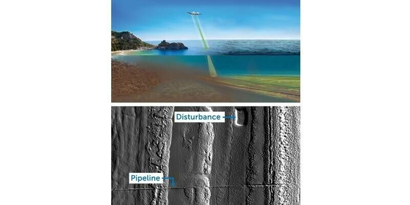
19th May 2025
Teledyne Geospatial to Participate in SeaSEC Challenge Weeks in the Netherlands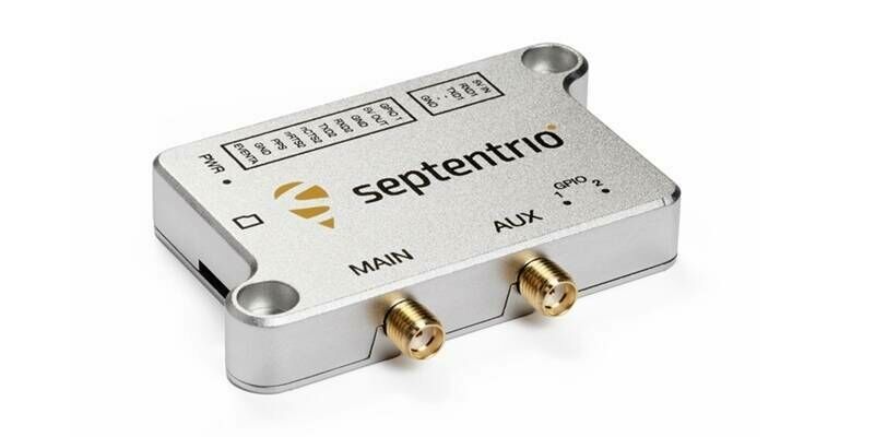
19th May 2025
Septentrio launches various mosaic-G5 ultra-compact GNSS receiver models
16th May 2025
Trimble Promotes Connected Workflows At Digital Construction Week

15th May 2025
Juniper Systems Adds RTK Precision to Archer 4 GNSS Expansion Pod
15th May 2025
GIS Cloud appoints Andrew Loveless as Chief Revenue Officer to spearhead international growth
14th May 2025
CGIS Qatar Case Study: Leveraging Vexcel Imaging for a True 3D City Model of Doha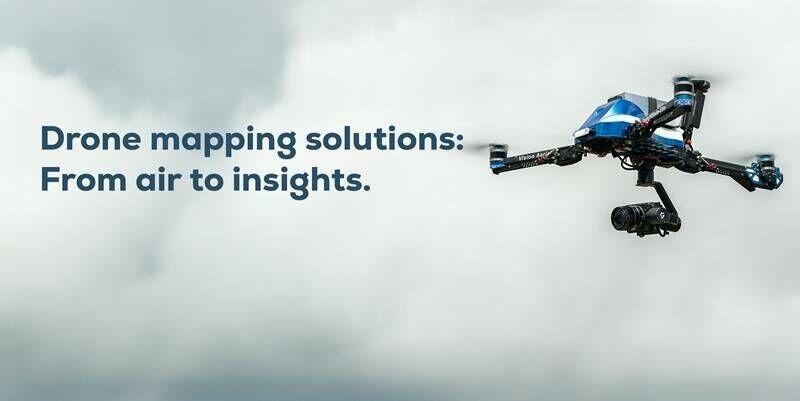
14th May 2025
Pix4D and Vision Aerial partner to deliver drone mapping solutions
13th May 2025
National Trust exceeds conservation targets with help from Esri GIS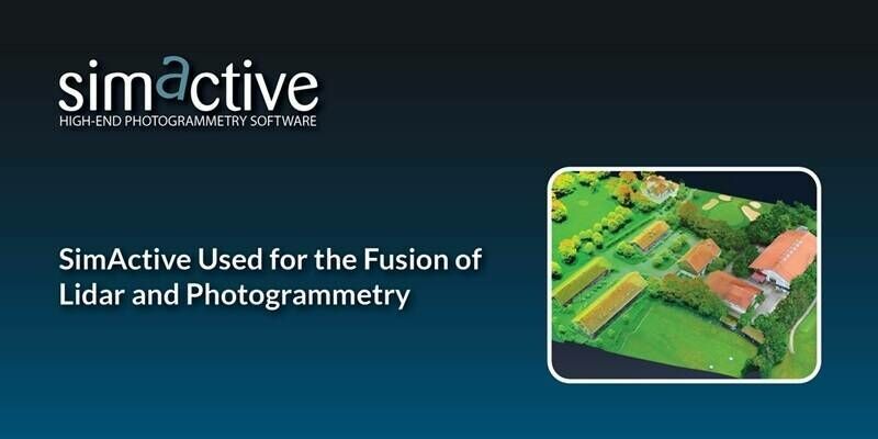
13th May 2025
SimActive Used for the Fusion of Lidar and Photogrammetry
12th May 2025
Cadcorp SIS 9.1 further expands spatial analysis capabilities in latest Service Release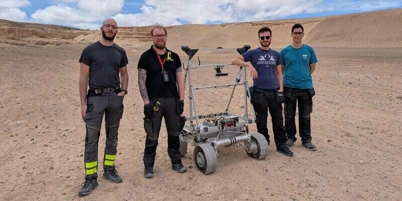
12th May 2025
With LUPIN, GMV marks a new era in automated lunar exploration
12th May 2025
To the Moon and Beyond: RIEGL USA, Allen & Company, NASA, and UCF Team Up for the Second Year in the 2025 Lunabotics Challenge
9th May 2025
ION GNSS+ 2025 Program Online and Registration Now Open
9th May 2025
FREQUENTIS to equip Norway’s fire emergency call centres with future-ready communication systems
9th May 2025
Meet the Main Stage speakers for GEO Business 2025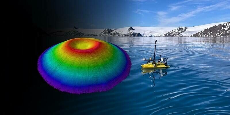
8th May 2025
First All-Canadian Antarctic Expedition Draws Underwater Maps with High-Accuracy Using Canadian-Made GNSS Technology
8th May 2025
Ordnance Survey Chooses KOREC and Trimble R980 in Nationwide GNSS Upgrade