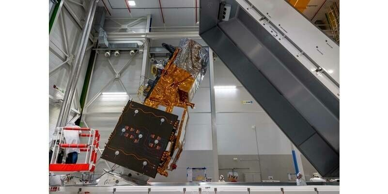
Airbus-built MetOp-SG weather and climate satellite shipped to Kourou
9th June 2025
Airbus-built MetOp-SG weather and climate satellite shipped to KourouNews as it happens! Keep in touch with the latest developments in business and technology in the regions or worldwide.
9th June 2025
Airbus-built MetOp-SG weather and climate satellite shipped to Kourou
6th June 2025
Underwater Drone Hydrus Exposes Coral Loss at One of the World’s Southernmost Reefs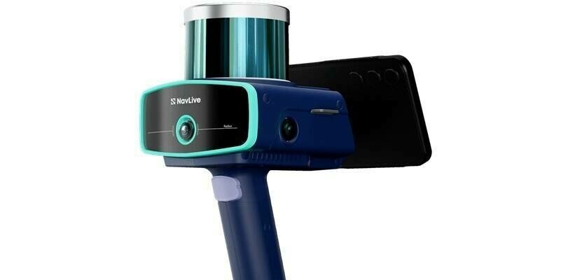
6th June 2025
NavLive secures £4m of funding to transform architecture and construction industry with AI-powered scanner to create surveys in real time
5th June 2025
Open Source Power: MariaDB integrates Rasdaman
5th June 2025
INTERGEO 2025: Smart solutions for real challenges
4th June 2025
Live Interview: Does Better Positioning Really Improve Mapping Accuracy
4th June 2025
Viridien sets new seismic data acquisition standard with launch of Sercel Accel
3rd June 2025
World's First Long-Term Planetary CubeSat Study by Korea’s Institute for Basic Science and NanoAvionics
3rd June 2025
Silicon Sensing and Kongsberg Discovery join forces with disruptive ambitions
2nd June 2025
Announcing Speakers and Discussion Topics for the 2025 SmallSat & Space Access Summit
2nd June 2025
Garmin revolutionizes aviation charting with SmartCharts
2nd June 2025
Unlocking $619 Billion Space Market: Singapore launches Asia’s First Global Space Innovation Think Tank to Catalyse Commercialisation of Space Tech Across Industries
30th May 2025
Topcon and Vemcon sign Memorandum of Understanding to expand 2D-to-3D upgrade availability for excavators
30th May 2025
SPH Engineering Launches Free Drone Show Software Lite License to Empower New Creators
29th May 2025
RIEGL Honored with Innovation Vanguard Award for Payload Technology by Inside Unmanned Systems at AUVSI XPONENTIAL 2025
29th May 2025
Successful Completion of JoeySat Testing Demonstrates First Reliable Multi-Beam Ka-Band Gateway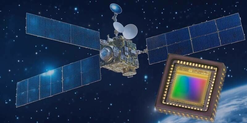
28th May 2025
Teledyne Space Imaging Launches Industrial Image Sensors Tested for Space
28th May 2025
Governance Change at SPACEBEL: Thierry du Pré-Werson Hands Over to Eric Lardinois
27th May 2025
AGI Launches Survey to Inform Action Plan for Geospatial Education & Skills
27th May 2025
Hi-Target and GMV Sign Strategic Alliance to Implement High-Precision Positioning Solutions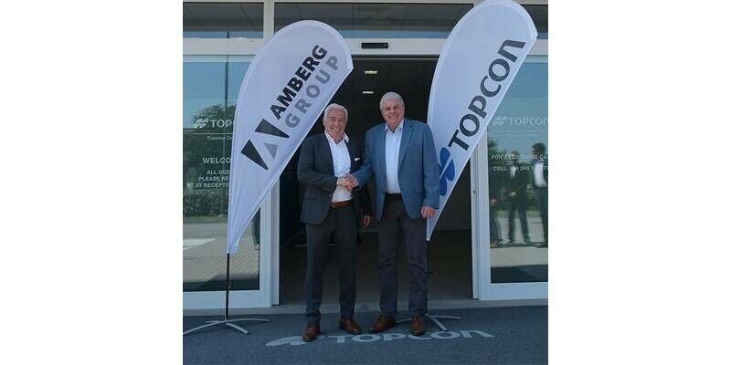
26th May 2025
Cooperation between Topcon Positioning Systems and Amberg Technologies
26th May 2025
Constellation Technologies & Operations (CTO) and the European Space Agency (ESA) cooperate to launch European space-based 5G connectivity
26th May 2025
UTS Fleet Teams Up With Queclink Wireless Solutions To Develop All-In-One Telematics
26th May 2025
Alliance Homes adopts cloud GIS to enhance data and business insights