
Sweden to deploy FREQUENTIS UAS traffic management system nationwide, supporting future air mobility
24th September 2025
Sweden to deploy FREQUENTIS UAS traffic management system nationwide, supporting future air mobilityNews as it happens! Keep in touch with the latest developments in business and technology in the regions or worldwide.
24th September 2025
Sweden to deploy FREQUENTIS UAS traffic management system nationwide, supporting future air mobility
23rd September 2025
Infinite Orbits selects Simera Sense to supply Space-based Space Situational Awareness payload
23rd September 2025
Safe Software Launches 24/7 Support For FME Users Worldwide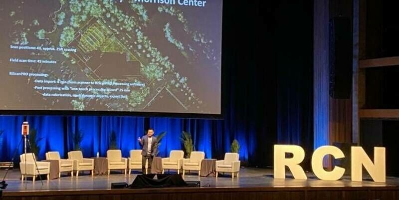
22nd September 2025
Reality Captured, Future Unlocked: RIEGL’s VZ-600i Leads the Charge at R-CON Boise
22nd September 2025
Land and consent management business opens three new UK offices as part of wider growth plan
19th September 2025
New Software Streamlines Rooftop Solar Project Planning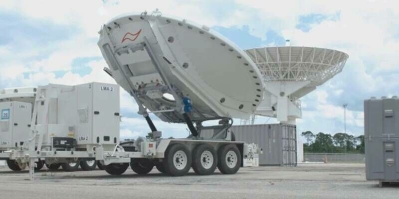
19th September 2025
Ground-Based GPS Jamming Now Reaches Satellites; Experts Call for Europe-Wide Adoption of Jamming-Resistant Technology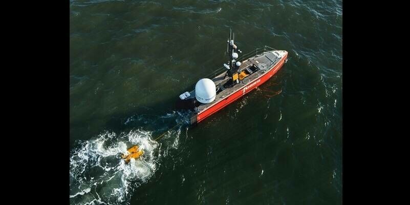
18th September 2025
Fugro and NOAA partner to advance remote deep-ocean mapping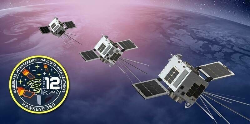
18th September 2025
Latest Satellite Cluster Expands Capacity for Global RF Signals Intelligence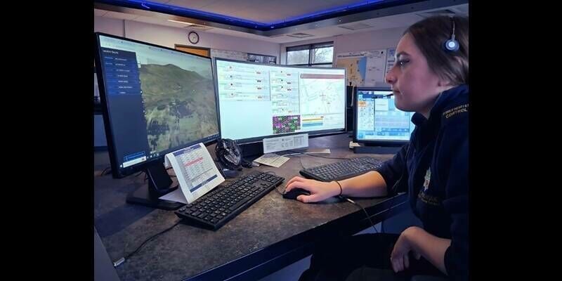
17th September 2025
How two innovative startups are using Ordnance Survey data to help the emergency services save lives
17th September 2025
Saving Lives - Taiwan’s Integrated Disaster Management
16th September 2025
ARGAS pioneers first node-based onshore seismic survey in Egypt with STRYDE
16th September 2025
Queclink Adds First Real-Time Micro Tracker To IoT Product Portfolio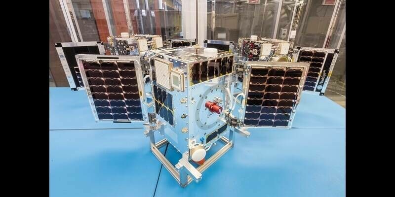
15th September 2025
SFL Missions Awarded Contract to Develop Three New HawkEye 360 Satellite Clusters for Radio Frequency Detection
15th September 2025
Viridien and Mantle8 enter into strategic partnership to fast-track natural hydrogen exploration across EMEA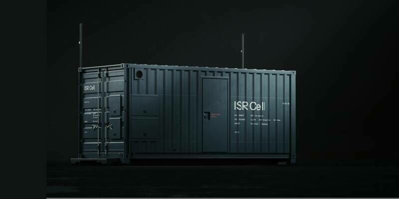
15th September 2025
ICEYE launches the ISR Cell, bringing tactical space-based intelligence anywhere
15th September 2025
Groundbreaking new sensor transforms how Europe tracks pollution, smoke and cloud from space
9th September 2025
RIEGL Webinar Announcement: TLS Roundtable – Exploring the Latest Updates for the VZ-600i & RiSCAN Pro
9th September 2025
SimActive Enables 3D Calculations from Drone Imagery at Mining Sites
8th September 2025
Tina Kennedy appointed Chief Customer Officer at Ordnance Survey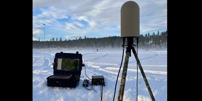
8th September 2025
Metis launches THEIA their new drone detection Operating System and User Interface at DSEi 25
3rd September 2025
Fugro secures two contracts to support Brazil’s offshore energy expansion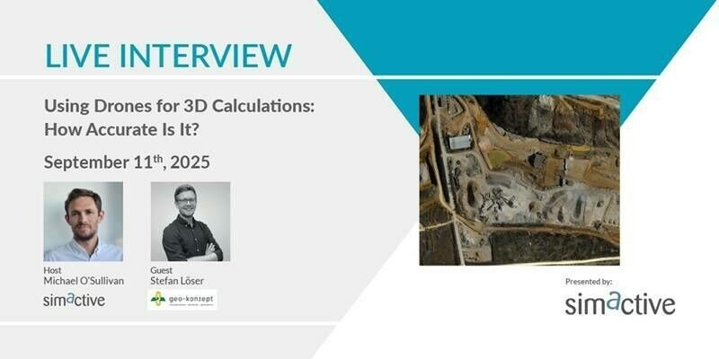
3rd September 2025
Using Drones for 3D Calculations: How Accurate Is It?