Share
Satelytics' CEO Sean Donegan explains why America's infrastructure needs defense in depth.
"Defense in depth" is among the most fundamental concepts in military strategy. At its core is the idea that no single defensive measure is impregnable by itself: only a spread of tactically deployed defensive measures can ensure true protection. And this applies to reconnaissance just as much as it does to combat: a comprehensive military surveillance setup will inevitably be layered, factoring in satellites, drones, and ultimately ground sensors.
Military strategies, as we know, inevitably have applications in non-military contexts. Some of our most important technological innovations—not least the internet through which you are reading this—began their life as military tools. And yet to date, we have yet to take a defense-in-depth approach to the one aspect of American life that could benefit from it most: oil oil & gas, and energy pipeline infrastructure.
It is no secret that our nation’s oil and gas pipeline infrastructure is aging: a significant proportion of the United States' roughly three million miles of pipelines were constructed in the 1950s and 1960s. Meanwhile, 70% of our transmission lines and transformers are over a quarter-century old.
Age is far from the only concern here: brand new infrastructure is also liable to malfunction. But random errors compounding aging pipelines and transmission lines have created a problem whose dimensions have become untenable. Per the U.S. Department of Energy, power outages alone are now costing the American economy $150 billion annually.
In other words: our national assets—and in consequence, the very functioning of our society—are at risk. A defense-in-depth approach to this pressing crisis stands to remedy this dire situation.
Why our infrastructure needs defense in depth
To understand defense in depth in an infrastructural context, we first need to look at how infrastructural monitoring is typically conducted. Infrastructural holdings are, by definition, sprawling: so vast, in most cases, that their owners typically can attain only a piecemeal sense of their daily functioning. Existing monitoring systems can go some way towards solving the problem, as can in-person monitoring teams. But these latter, especially, are ill-equipped to identify problem-points. Even the best-resourced utility companies cannot afford the small armies such monitoring efforts would demand.
The result is that infrastructural repairs tend to be reactive: companies address problems only after they have become visible—and in many cases long after they have spiraled out of control. Serious and in some cases irreparable damage is inflicted long before the maintenance trucks are deployed.
Defense in depth, in this context, would provide infrastructural concerns with the equivalent of military reconnaissance. It would alert them to problems the moment they become problems (or very soon after), and would thus enable proactive remediation before leaks or outages are able to spread. And as it happens, there is a technology that meets these criteria, one that is gaining increasing traction among utility companies: geospatial analytics.
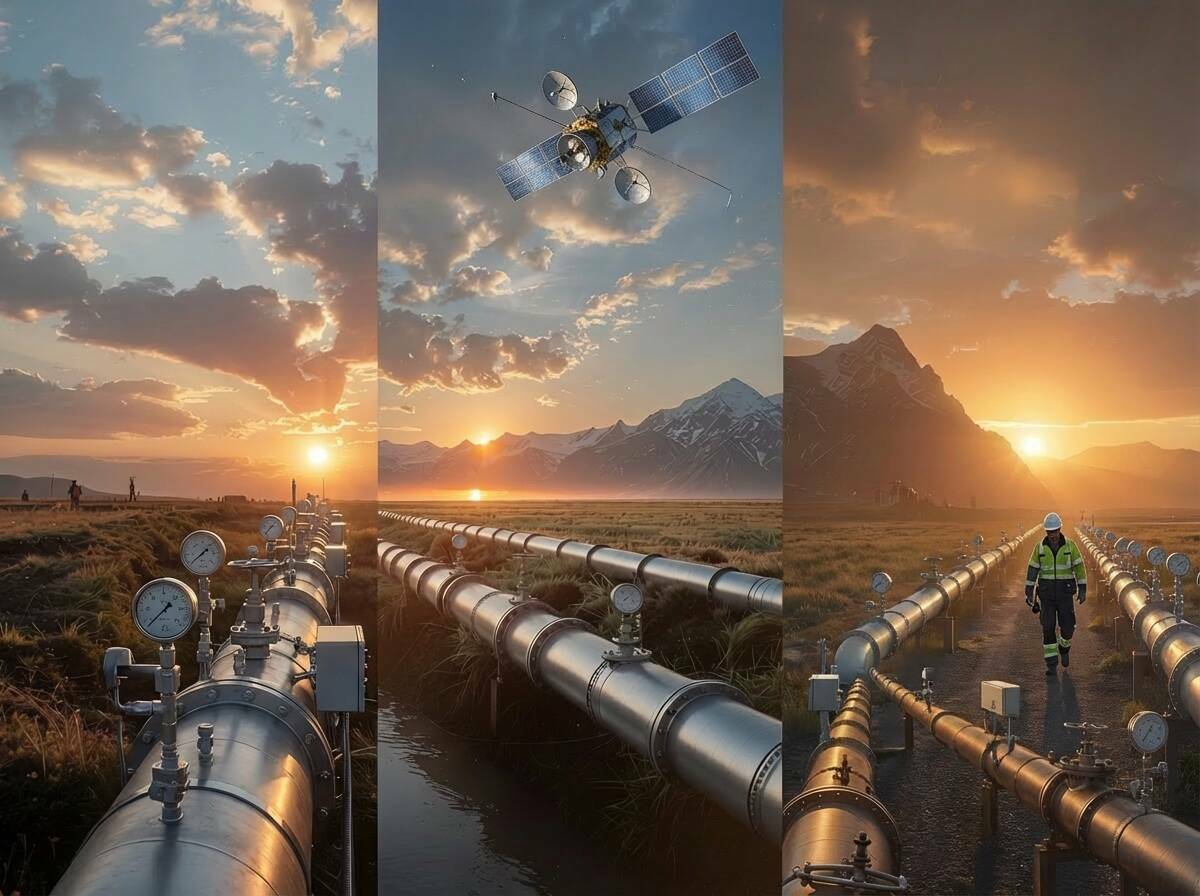
Achieving defense in depth with geospatial analytics
As in military reconnaissance, satellites are at the heart of geospatial analytics and can take in vast multi-state areas on a continual basis, ingesting the entirety of an infrastructure company's holdings. This satellite-acquired imagery is then run through advanced AI-powered analytics, which can flag problem points in a matter of hours—as opposed to the weeks or months of traditional inspection methods.
That speed is the key benefit here: in an infrastructural crisis such as a liquid pipeline leak or a methane leak, every second counts, and geospatial analytics ensure that businesses lose no time in deploying resources to the relevant areas. This dramatically shrinks the need for ground-based investigations, instead redirecting personnel to only those locations most in need of remediation. Here we see defense in depth in action: satellite surveillance, followed by targeted ground response, and complemented by specialized coverage in areas where satellite imagery might be restricted (for instance, military installations).
Vegetation management offers one clear-cut example here. Right now, vegetation-related issues account for a quarter of all utility outages, with trees responsible for 92% of weather-related power outages. Here, the spatial data provided by ground-based LiDAR systems can be complemented by satellite intelligence that identifies threats before they become critical. These technologies—underpinned by predictive analytics—can save electric utilities significant money: one Midwest electricity cooperative reported 80% cost reductions in trimming operations by deploying geospatial analytics, while simultaneously reducing tree-related outages by 30% (and reducing outage duration by 45%).
The example of vegetation is apt because what geospatial analytics truly enables is the ability to see the forest for the trees. Right now, infrastructure companies are drowning in false positives, which diffuse resources and keep real problems from getting fixed. The broader contextual information this technology enables can mean the difference between a last-minute fix and an outage that negatively impacts millions.
Another example focuses on the methane measurement challenge, which also illustrates Defence-in-Depth principles in action.
Layer 1 - Satellite Surveillance: A monitoring program is put into place to oversee vast multi-region areas, detecting both small and large methane emissions across the entire network. This broad-spectrum monitoring establishes the comprehensive baseline that would be impossible to achieve through ground-based methods alone.
Layer 2 - Targeted Ground Response: Armed with satellite intelligence, ground teams with handheld sniffers can deploy to specific locations for precise source identification. This targeted approach increases efficiency whilst reducing operational costs.
Layer 3 - Specialized Coverage: Advanced Mobile Leak Detection (AMLD) vehicles provide coverage in areas where satellite imagery might be restricted, such as military installations.
This three-layer approach leverages each technology’s strengths while compensating for individual limitations, creating a monitoring network that no single technology could achieve
independently.
Infrastructure companies may not be involved in literal military combat, but the stakes are often equally life or death. Leaks and outages harm community health as surely as they cost businesses millions of dollars. Given this fact, entrusting the maintenance of our infrastructure to a single point of failure is no longer an option. Only the kind of defense in depth offered by geospatial analytics can prevent the worst-case scenario for infrastructure companies and for the customers they serve.
About Sean Donegan:
Sean Donegan is CEO of Satelytics, a company that uses cloud-based, geospatial analytics to analyze multispectral and hyperspectral imagery to identify pipeline leaks and other environmental issues. Donegan has over 30 years of experience building technology and software companies.
Subscribe to our newsletter
Stay updated on the latest technology, innovation product arrivals and exciting offers to your inbox.
Newsletter

