A senior researcher at the University of Helsinki has developed models to analyse remotely-sensed imagery for improved water quality assessments
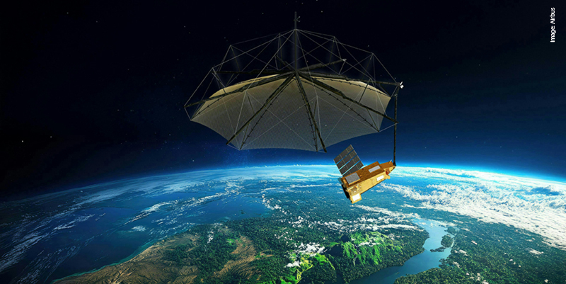
Lake monitoring is currently mainly based on on-site sampling and laboratory analysis of samples. In lake-rich regions, however, only a small proportion of lakes can be monitored using conventional methods. Kari Kallio (pictured above), Senior Researcher at the Finnish Environment Institute (SYKE), has investigated how the remote sensing of lakes from satellites or aircraft can improve the spatial and temporal representativeness of monitoring for his doctoral thesis.Depending on the features of the device used, remote sensing can be used to assess turbidity, eutrophication, humus and transparency. In his thesis for the Faculty of Biological and Environmental Sciences at the University of Helsinki, Kallio examined interpretation methods for water quality estimation in Finnish lakes and developed models for interpreting remote sensing images and assessing light attenuation. The study also compared remote sensing data to conventional monitoring methods. âThe aerial images showed that in the case of eutrophic lakes, estimates of chlorophyll concentrations can differ greatly from reality when conventional methods are applied. The use of satellite images also increases the number of lakes for which water quality information is obtained,â says Kallio.The research material comprised detailed optical measurements from various parts of Finland, satellite and aircraft images from Southern Finland with concurrent in situ observations, and automatic raft measurements. The results of routine measurements from more than 1,100 lakes across Finland were also used.âKnowledge of water optics could be used more widely in the monitoring and management of lakes. My thesis shows that light attenuation at different wavelengths can be reliably modelled on the basis of water quality measurements in routine monitoring,â Kallio says.MERIS satellite instrument useful for assessment of large and medium-sized lakesThe results of the study improve water quality interpretation on the basis of remote sensing data and support the use of remote sensing in lake monitoring. MERIS satellite images (a resolution of 300 m) can be used to assess the status of various parts of large and medium-sized lakes, and for assessing similar-sized lakes not covered by monitoring programmes. Smaller lakes can be monitored using satellite instruments with a good spatial resolution, but in situ measurements are required to support interpretations. In the next few years, new satellite instruments that are better suited to monitoring small lakes will be introduced by the European Space Agency (ESA).The public defence of the doctoral thesis is being held today (Friday 27 January) at Auditorium XII in the main building of the University of Helsinki, Unioninkatu 34. The opponent will be Assistant Professor Steef Peters, Institute of Environmental Studies, VU University Amsterdam.
For more information visit:
Subscribe to our newsletter
Stay updated on the latest technology, innovation product arrivals and exciting offers to your inbox.
Newsletter

