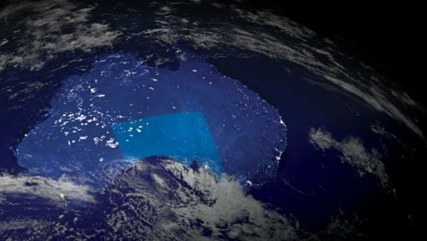
Investment boost for Australia’s space and AI industries
19th November 2018
Investment boost for Australia’s space and AI industries
19th November 2018
Investment boost for Australia’s space and AI industries
19th November 2018
Airbus to build new generation broadcast satellites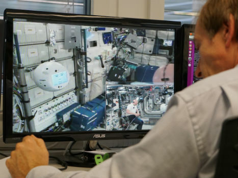
16th November 2018
Crew assistant CIMON* successfully completes first tasks in space16th November 2018
Telespazio and Thales Alenia Space announce an investment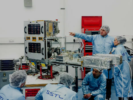

14th November 2018
Fugro Delivers Actionable Intelligence To Construction Projects_Machlis.jpg)
14th November 2018
Elbit Systems Awarded $167 Million Contract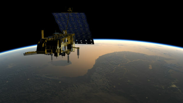

10th November 2018
The National Atlas of the Arctic — Limited Copies Now Available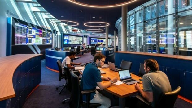
8th November 2018
Inauguration of Europe’s most modern satellite control centre
7th November 2018
All good things come in threes: MetOp-C successfully launched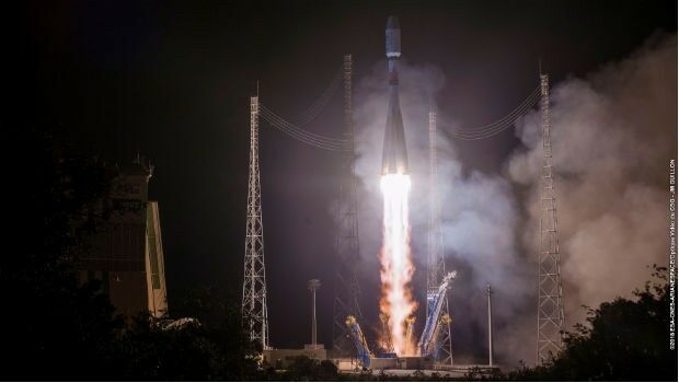
7th November 2018
EUMETSAT’s third Metop satellite successfully launched_Airbus-news.jpg)
31st October 2018
WorldDEM now entirely edited and available via streaming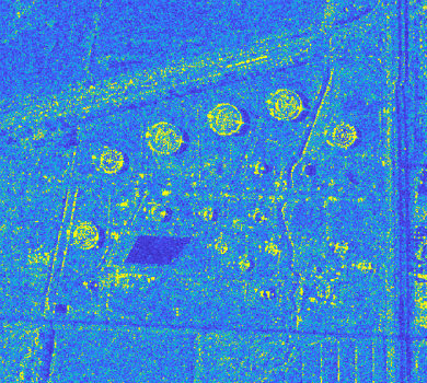
29th October 2018
Airbus and Ursa to continue partnership on use of radar satellite data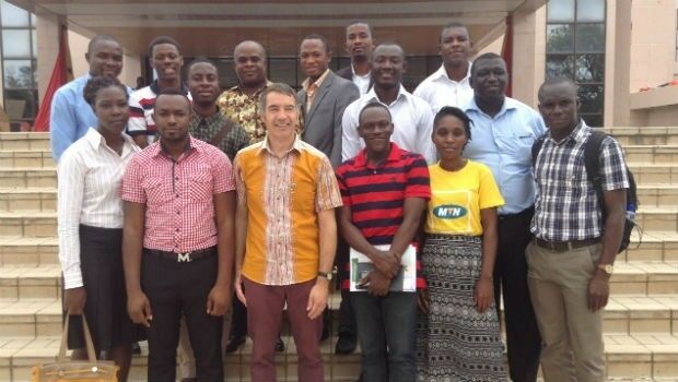
26th October 2018
DARA project wins Better Satellite World Award25th October 2018
Airbus launches Ocean Finder to improve safety of assets at sea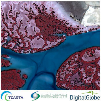
24th October 2018
Satellite-Derived Mangrove Health Assessment Delivered to Abu Dhabi24th October 2018
SSTL’s international exports recognised with a UK Board of Trade AwardAirbus20171.jpg)
21st October 2018
Ariane 5 successfully launched from KourouAirbus2017.jpg)
21st October 2018
Ariane 5 successfully launched from Kourou19th October 2018
Government of Canada to Invest $7.2 Million in exactEarth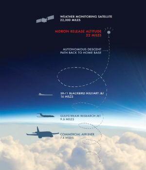
18th October 2018
Uavos Inc. And Stratodynamics Aviation Inc. Pioneer A Monitoring Project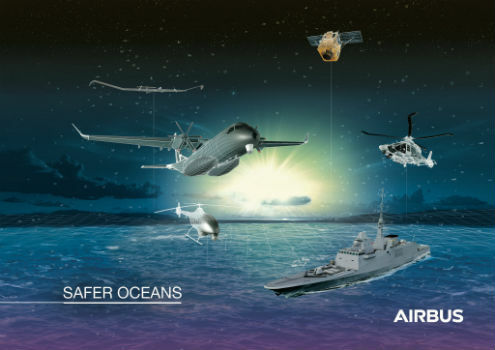
18th October 2018
Airbus to showcase smart solutions for safer oceans at Euronaval
12th October 2018
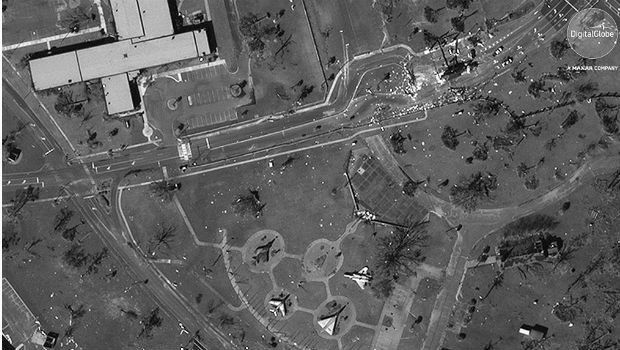
Hurricane Michael Aftermath in Panama City and Tyndall AFB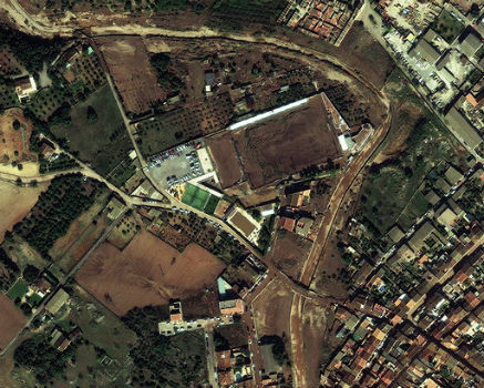
11th October 2018
MALLORCA: Small Island hit by Flash Flooding
9th October 2018
CORSICA: Satellite Images Highlight Major Oil Spill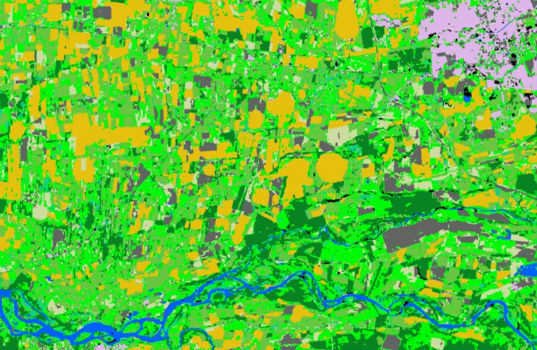
9th October 2018
Spottitt Launches Cloud-Based Geospatial Data Analysis8th October 2018
Airbus and Atos awarded major cyber security contract
2nd October 2018
Rezatec provides AHDB with innovative geospatial data analytics
28th September 2018
Getech Releases Globe 2018 for Improved Basin Screening and Exploration
28th September 2018
Space Flight Laboratory to Showcase Microspace Applications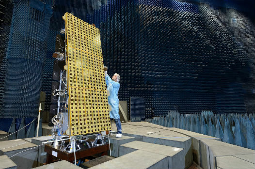
26th September 2018
BARSC Welcomes SSTL as a New Corporate Member
_Airbus_-_AirNode_Demo.jpg)
26th September 2018
Airbus Presents New and Innovative Space Solutions at the IAC25th September 2018
Abidjan forum discusses using satellite data for sustainable development24th September 2018
Keep your broadband network under control with smart Airbus technology!24th September 2018
Airbus announces finalists of Multi-Data Challenge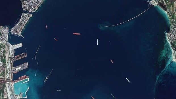
24th September 2018
European Space Imaging Awarded €20 Million Maritime Contract20th September 2018
Airbus wins ESA studies for future human base in lunar orbit19th September 2018
Global Mapper v.20 Now Available with Improved 3D Model Functionality17th September 2018
Satellites reveal the underground lifestyle of wombats17th September 2018
UK radar satellite NovaSAR-1 successfully launched17th September 2018
Successful launch of NovaSAR-1 and SSTL S1-4 satellites14th September 2018
Space4Culture Conference: Satellite Services