Share
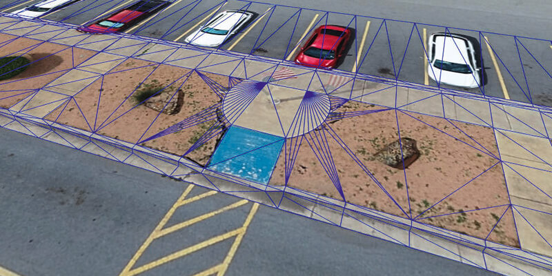
Virtual Surveyor has introduced Curb & Gutter mapping functionality in Version 7.6 of its popular drone surveying software. The new capability enables surveyors to create a lightweight CAD model of curbs and gutters along the edges of streets and parking lots from standard orthophotos and elevation models captured by unmanned aerial vehicles (UAVs), or drones. Virtual Surveyor is a powerful surveying software that bridges the gap between drone photogrammetric processing applications and engineering design packages. The software generates an interactive onscreen environment with drone orthophotos/DSMs and/or LiDAR point clouds where the user can compare multiple drone surveys in a matter of seconds. www.virtual-surveyor.com


