Share
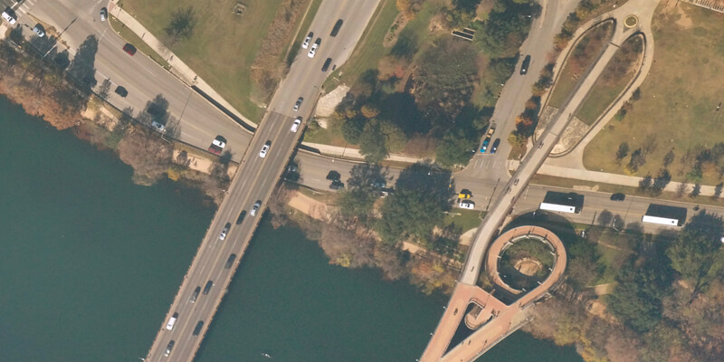
The UP42 geospatial developer platform is now offering very high-resolution, high-frequency imagery captured by balloons flying in the Earth’s stratosphere. The zero-emission “Swifty” balloon fleet is operated by Near Space Labs, based in New York and Barcelona, to acquire detailed imagery that is more environmentally friendly and more affordable than traditional aircraft and satellite data. In commercial operations to date, Near Space Labs’ imagery has been used to inform decision making by governments, energy utilities, insurance agencies, and conservation organizations. UP42 customers can now access the Near Space Labs 30cm archive data directly through the UP42 API. Near Space Labs 10cm data will soon be accessible via the platform as well and customers can already submit requests to be notified when the data is available. www.up42.com


