Share
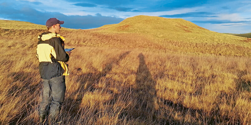
Tilhill is rolling out the latest mapping technology from thinkWhere to transform the way it manages forests, harvests timber and provides landscaping services across the UK. The cloud-based software and data portal groundMapper provides in-field mapping and analysis tools as well as instant access to specialist land and property datasets. Designed to improve project management, reporting and collaboration, Tilhill will also be drawing on thinkWhere’s extensive experience in open source solutions to implement QGIS for advanced users and QField for mobile data collection. An early adopter of GIS, Tilhill recognised that its existing infrastructure, although initially customised for Tilhill’s specific use, had become outdated. In addition, local divergences in how forestry data was collected, stored and managed, had arisen over time causing issues with data quality and the efficiency of its mapping services. www.thinkwhere.com


