Share
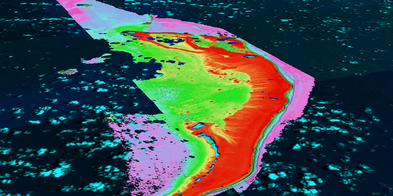
TCarta Marine, a global provider of hydrospatial products and services, has expanded its role in the Seabed 2030 project that seeks to map the entire ocean floor by 2030. Having already directly contributed extensive satellite-derived bathymetry (SDB) to the endeavor, TCarta has developed capacity-building initiatives to train international hydrographic offices in creating their own SDB data sets for Seabed 2030 and other applications. Seabed 2030 was launched by The Nippon Foundation of Japan and the General Bathymetric Chart of the Oceans program (GEBCO) to produce a publicly accessible bathymetric data set of the seafloor. The project is officially endorsed by the UN Decade of Ocean Science for Sustainable Development. As a Seabed 2030 partner, TCarta has contributed 150,000 square kilometers of 10-meter resolution seafloor depth measurements from its Global Satellite Derived Bathymetry (G-SDB) product line. www.tcarta.com


