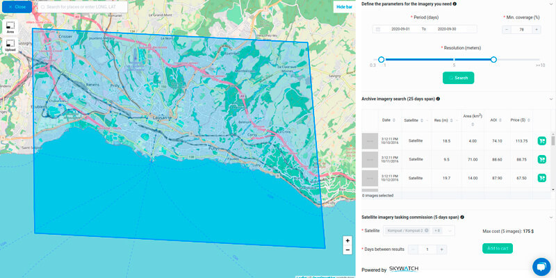
Picterra announced their partnership and a new unique joint program. SkyWatch is building the infrastructure for the automated distribution of Earth observation (EO) data. SkyWatch EarthCache provides developers with the tools they need to cost-effectively add EO data into their applications and workflows. Picterra is an ML/AI Software-as-a-Service platform enabling businesses to autonomously extract intelligence & analytics from satellite, aerial, and drone imagery. It comes with a ready-to-use IT infrastructure: in a few clicks, it’s possible to process terabytes of imagery with Picterra’s auto-scaling, GPU-enabled infrastructure. www.skywatch.com


